1806 Rollins Ct Bel Air, MD 21014
Estimated Value: $545,670 - $571,000
2
Beds
3
Baths
3,054
Sq Ft
$182/Sq Ft
Est. Value
About This Home
This home is located at 1806 Rollins Ct, Bel Air, MD 21014 and is currently estimated at $556,168, approximately $182 per square foot. 1806 Rollins Ct is a home located in Harford County with nearby schools including Ring Factory Elementary School, Patterson Mill Middle School, and Patterson Mill High School.
Ownership History
Date
Name
Owned For
Owner Type
Purchase Details
Closed on
May 11, 2007
Sold by
Palese Geraldine E
Bought by
Shannon Richard E and Shannon Barbara Y
Current Estimated Value
Home Financials for this Owner
Home Financials are based on the most recent Mortgage that was taken out on this home.
Original Mortgage
$260,000
Interest Rate
6.21%
Mortgage Type
Purchase Money Mortgage
Purchase Details
Closed on
Apr 27, 2007
Sold by
Palese Geraldine E
Bought by
Shannon Richard E and Shannon Barbara Y
Home Financials for this Owner
Home Financials are based on the most recent Mortgage that was taken out on this home.
Original Mortgage
$260,000
Interest Rate
6.21%
Mortgage Type
Purchase Money Mortgage
Purchase Details
Closed on
Aug 26, 1998
Sold by
Turner Group Ltd
Bought by
Palese Geraldine E
Create a Home Valuation Report for This Property
The Home Valuation Report is an in-depth analysis detailing your home's value as well as a comparison with similar homes in the area
Home Values in the Area
Average Home Value in this Area
Purchase History
| Date | Buyer | Sale Price | Title Company |
|---|---|---|---|
| Shannon Richard E | $447,500 | -- | |
| Shannon Richard E | $447,500 | -- | |
| Palese Geraldine E | $209,435 | -- |
Source: Public Records
Mortgage History
| Date | Status | Borrower | Loan Amount |
|---|---|---|---|
| Closed | Shannon Richard E | $260,000 | |
| Closed | Shannon Richard E | $260,000 | |
| Closed | Palese Geraldine E | -- |
Source: Public Records
Tax History Compared to Growth
Tax History
| Year | Tax Paid | Tax Assessment Tax Assessment Total Assessment is a certain percentage of the fair market value that is determined by local assessors to be the total taxable value of land and additions on the property. | Land | Improvement |
|---|---|---|---|---|
| 2025 | $4,308 | $410,600 | $115,000 | $295,600 |
| 2024 | $4,142 | $395,300 | $0 | $0 |
| 2023 | $4,142 | $380,000 | $0 | $0 |
| 2022 | $1,987 | $364,700 | $115,000 | $249,700 |
| 2021 | $420 | $352,467 | $0 | $0 |
| 2020 | $140 | $340,233 | $0 | $0 |
| 2019 | $3,785 | $328,000 | $115,000 | $213,000 |
| 2018 | $3,712 | $324,600 | $0 | $0 |
| 2017 | $3,673 | $328,000 | $0 | $0 |
| 2016 | $140 | $317,800 | $0 | $0 |
| 2015 | $3,990 | $317,800 | $0 | $0 |
| 2014 | $3,990 | $317,800 | $0 | $0 |
Source: Public Records
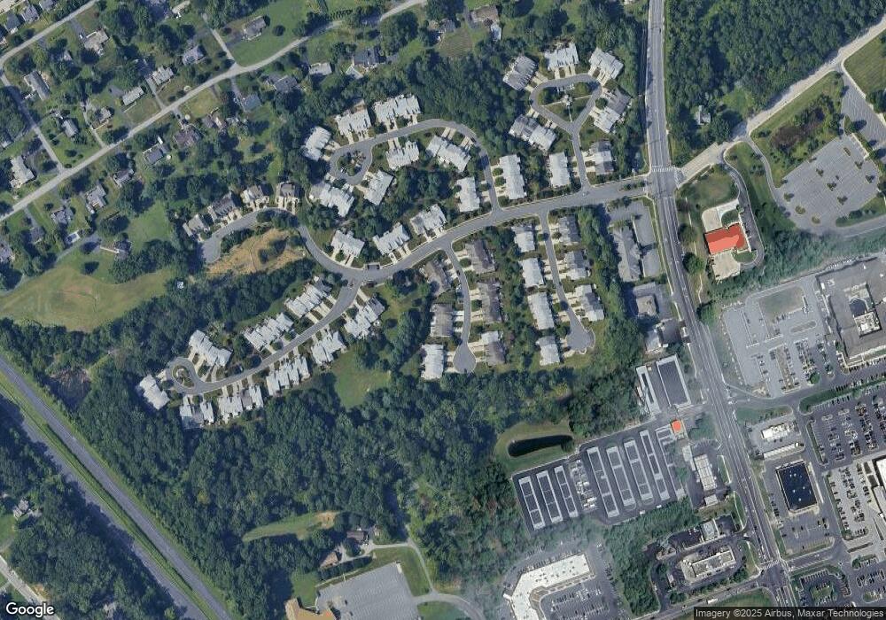
Map
Nearby Homes
- 62 Crystal Ct
- 68 Crystal Ct
- 1504 Houndslow Ct
- 1714 Sable Ct
- 1505 Westminster Ct
- 130 Royal Oak Dr Unit L
- 25 Oak Crest Ct
- 2104 Cameron Ct
- 412 Viola Ct N
- 632 Camelot Dr
- 209 Hunters Run Terrace
- 220 Hunters Run Terrace
- 12 Lexington Rd
- 403 Summershade Ct
- 515 W Ring Factory Rd
- 306 Fox Hound Ct
- 2007 Royal Fern Ct
- 2332 Darby Ct
- 2 Colonial Rd
- 201 Burkwood Ct Unit 3B
- 1808 Rollins Ct
- 1804 Rollins Ct
- 1810 Rollins Ct
- 1812 Rollins Ct
- 1800 Rollins Ct
- 1811 Rollins Ct
- 1809 Rollins Ct
- 1814 Rollins Ct
- 1813 Rollins Ct
- 1807 Rollins Ct
- 1815 Rollins Ct
- 1805 Rollins Ct
- 1816 Rollins Ct
- 39 Crystal Ct
- 1817 Rollins Ct
- 1803 Rollins Ct
- 41 Crystal Ct
- 1801 Rollins Ct
- 1819 Rollins Ct
- 43 Crystal Ct