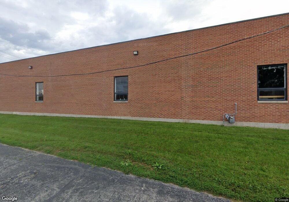
1807 Industrial Dr Libertyville, IL 60048
Estimated Value: $1,542,580
--
Bed
--
Bath
24,554
Sq Ft
$63/Sq Ft
Est. Value
About This Home
This home is located at 1807 Industrial Dr, Libertyville, IL 60048 and is currently estimated at $1,542,580, approximately $62 per square foot. 1807 Industrial Dr is a home located in Lake County with nearby schools including Fremont Elementary School, Fremont Intermediate School, and Fremont Jr High/Middle School.
Ownership History
Date
Name
Owned For
Owner Type
Purchase Details
Closed on
Sep 24, 2018
Sold by
Lbt 2016 Commercial Stack I Llc
Bought by
Grove Properties Llc
Current Estimated Value
Home Financials for this Owner
Home Financials are based on the most recent Mortgage that was taken out on this home.
Original Mortgage
$547,500
Interest Rate
5.25%
Mortgage Type
Commercial
Purchase Details
Closed on
Aug 31, 2016
Sold by
Lornic Family L P
Bought by
Lbt 2016 Commercial Stack I Llc
Purchase Details
Closed on
Jan 27, 2009
Sold by
Mirando Loretta
Bought by
Lornic Family Lp
Purchase Details
Closed on
Oct 5, 2006
Sold by
Chicago Title Land Trust Co
Bought by
Mirando Loretta and Loretta Mirando Revocable Trust
Create a Home Valuation Report for This Property
The Home Valuation Report is an in-depth analysis detailing your home's value as well as a comparison with similar homes in the area
Home Values in the Area
Average Home Value in this Area
Purchase History
| Date | Buyer | Sale Price | Title Company |
|---|---|---|---|
| Grove Properties Llc | $725,000 | Gmt Title Agency | |
| Lbt 2016 Commercial Stack I Llc | -- | Greater Metropolitan Title L | |
| Lornic Family Lp | -- | None Available | |
| Mirando Loretta | -- | None Available |
Source: Public Records
Mortgage History
| Date | Status | Borrower | Loan Amount |
|---|---|---|---|
| Closed | Grove Properties Llc | $547,500 |
Source: Public Records
Tax History Compared to Growth
Tax History
| Year | Tax Paid | Tax Assessment Tax Assessment Total Assessment is a certain percentage of the fair market value that is determined by local assessors to be the total taxable value of land and additions on the property. | Land | Improvement |
|---|---|---|---|---|
| 2024 | $23,195 | $322,221 | $88,473 | $233,748 |
| 2023 | $24,662 | $295,236 | $81,064 | $214,172 |
| 2022 | $24,662 | $311,364 | $97,598 | $213,766 |
| 2021 | $23,625 | $300,457 | $94,179 | $206,278 |
| 2020 | $22,936 | $292,188 | $91,587 | $200,601 |
| 2019 | $22,926 | $282,579 | $88,575 | $194,004 |
| 2018 | $22,565 | $283,061 | $88,725 | $194,336 |
| 2017 | $22,346 | $274,151 | $85,932 | $188,219 |
| 2016 | $22,023 | $260,377 | $81,615 | $178,762 |
| 2015 | $21,901 | $244,096 | $76,512 | $167,584 |
| 2014 | $21,478 | $241,948 | $75,839 | $166,109 |
| 2012 | $20,152 | $244,096 | $76,512 | $167,584 |
Source: Public Records
Map
Nearby Homes
- 1506 Bull Creek Dr
- 1960 Pinehurst Ct
- 1216 Kensington Dr
- 1708 Park Crest Ct
- 1023 Harris Rd
- 2020 Harrison Ave
- 977 Harris Rd Unit 34
- 531 Salceda Ln
- 591 Salceda Ln
- 1917 Halifax St
- 200 Ambria Dr
- 1544 Portia Rd
- 1801 Torrey Pkwy
- 1304 Dunleer Dr
- 1834 Torrey Pkwy Unit 103
- 1291 Banbury Rd
- 1329 Turnberry Ln
- 1338 Trinity Place
- 32381 N Forest Dr
- 821 Killarney Pass Cir
- 1803 Industrial Dr
- 1840 Industrial Dr Unit 350
- 1840 Industrial Dr Unit 340
- 1840 Industrial Dr Unit 110
- 1840 Industrial Dr Unit 310
- 1840 Industrial Dr Unit 100
- 1840 Industrial Dr Unit 330
- 1840 Industrial Dr Unit 240
- 1840 Industrial Dr Unit 320
- 1840 Industrial Dr Unit 180
- 1840 Industrial Dr Unit 170
- 1840 Industrial Dr Unit 150
- 1840 Industrial Dr Unit 120-130
- 1840 Industrial Dr Unit 120
- 1840 Industrial Dr Unit 130
- 1840 Industrial Dr Unit 160
- 1840 Industrial Dr Unit 260
- 1840 Industrial Dr Unit 280
- 1840 Industrial Dr Unit 290
- 1840 Industrial Dr Unit 230