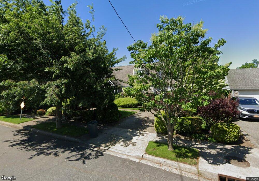
181 Groton Place West Hempstead, NY 11552
Estimated Value: $826,826 - $923,000
4
Beds
4
Baths
1,487
Sq Ft
$588/Sq Ft
Est. Value
About This Home
This home is located at 181 Groton Place, West Hempstead, NY 11552 and is currently estimated at $874,913, approximately $588 per square foot. 181 Groton Place is a home located in Nassau County with nearby schools including Chestnut Street School, West Hempstead Secondary School, and Crescent School.
Ownership History
Date
Name
Owned For
Owner Type
Purchase Details
Closed on
Sep 1, 2017
Sold by
Grigorian George and Grigorian Peggy
Bought by
Suleymanov Solomon and Kholdarova Alla
Current Estimated Value
Purchase Details
Closed on
Aug 15, 2006
Sold by
Connolly Kenneth
Bought by
Grigorian George
Purchase Details
Closed on
Feb 1, 2002
Sold by
Berkeley-Hill Michael
Bought by
Connolly Kenneth M
Purchase Details
Closed on
Aug 17, 1999
Sold by
Smith Mark and Smith Pamela
Bought by
Berkeley Hill Michael
Create a Home Valuation Report for This Property
The Home Valuation Report is an in-depth analysis detailing your home's value as well as a comparison with similar homes in the area
Home Values in the Area
Average Home Value in this Area
Purchase History
| Date | Buyer | Sale Price | Title Company |
|---|---|---|---|
| Suleymanov Solomon | $787,500 | Titlevest Agency Llc | |
| Grigorian George | $660,000 | -- | |
| Connolly Kenneth M | $370,000 | Michael Manning | |
| Berkeley Hill Michael | $283,000 | Stewart Title Insurance Co |
Source: Public Records
Tax History Compared to Growth
Tax History
| Year | Tax Paid | Tax Assessment Tax Assessment Total Assessment is a certain percentage of the fair market value that is determined by local assessors to be the total taxable value of land and additions on the property. | Land | Improvement |
|---|---|---|---|---|
| 2025 | $14,310 | $502 | $278 | $224 |
| 2024 | $4,300 | $499 | $277 | $222 |
| 2023 | $12,407 | $521 | $289 | $232 |
| 2022 | $12,407 | $521 | $289 | $232 |
| 2021 | $15,346 | $537 | $266 | $271 |
| 2020 | $11,479 | $696 | $404 | $292 |
| 2019 | $3,918 | $696 | $404 | $292 |
| 2018 | $3,698 | $696 | $0 | $0 |
| 2017 | $6,060 | $696 | $404 | $292 |
| 2016 | $9,536 | $696 | $386 | $310 |
| 2015 | $2,943 | $632 | $384 | $248 |
| 2014 | $2,943 | $632 | $384 | $248 |
| 2013 | $2,900 | $665 | $404 | $261 |
Source: Public Records
Map
Nearby Homes
- 187 Groton Place
- 134 Mayfair Ave
- 144 Mayfair Ave
- 175 Groton Place
- 152 Mayfair Ave
- 193 Groton Place
- 128 Mayfair Ave
- 171 Groton Place
- 170 Groton Place
- 199 Groton Place
- 165 Groton Place
- 194 Groton Place
- 174 Trinity Place
- 174 Trinity Place
- 164 Mayfair Ave
- 122 Mayfair Ave
- 170 Trinity Place
- 160 Groton Place
- 161 Groton Place
- 200 Groton Place