1810 N Airport Rd Norfolk, NE 68701
Estimated Value: $217,029 - $351,000
3
Beds
--
Bath
1,298
Sq Ft
$229/Sq Ft
Est. Value
About This Home
This home is located at 1810 N Airport Rd, Norfolk, NE 68701 and is currently estimated at $296,757, approximately $228 per square foot. 1810 N Airport Rd is a home located in Madison County with nearby schools including Norfolk Senior High School, Christ Lutheran School, and Keystone Christian Academy.
Ownership History
Date
Name
Owned For
Owner Type
Purchase Details
Closed on
Aug 26, 2025
Sold by
Mcdonald Patrick R
Bought by
Karensons Llc
Current Estimated Value
Purchase Details
Closed on
Sep 17, 2024
Sold by
Mcdonald Karen R
Bought by
Mcdonald Patrick R
Create a Home Valuation Report for This Property
The Home Valuation Report is an in-depth analysis detailing your home's value as well as a comparison with similar homes in the area
Home Values in the Area
Average Home Value in this Area
Purchase History
| Date | Buyer | Sale Price | Title Company |
|---|---|---|---|
| Karensons Llc | $11,000 | Northeast Nebraska Title | |
| Karensons Llc | $11,000 | Northeast Nebraska Title | |
| Mcdonald Patrick R | -- | None Listed On Document |
Source: Public Records
Tax History Compared to Growth
Tax History
| Year | Tax Paid | Tax Assessment Tax Assessment Total Assessment is a certain percentage of the fair market value that is determined by local assessors to be the total taxable value of land and additions on the property. | Land | Improvement |
|---|---|---|---|---|
| 2024 | $1,673 | $171,199 | $42,600 | $128,599 |
| 2023 | $2,354 | $152,868 | $36,820 | $116,048 |
| 2022 | $2,163 | $140,024 | $36,820 | $103,204 |
| 2021 | $1,841 | $120,194 | $26,820 | $93,374 |
| 2020 | $1,865 | $120,194 | $26,820 | $93,374 |
| 2019 | $1,893 | $119,674 | $26,300 | $93,374 |
| 2018 | $1,747 | $112,910 | $26,300 | $86,610 |
| 2017 | $1,652 | $106,445 | $26,040 | $80,405 |
| 2016 | $1,494 | $95,752 | $21,040 | $74,712 |
| 2015 | $1,496 | $95,752 | $21,040 | $74,712 |
| 2014 | $1,389 | $85,529 | $16,040 | $69,489 |
| 2013 | $1,450 | $85,529 | $16,040 | $69,489 |
Source: Public Records
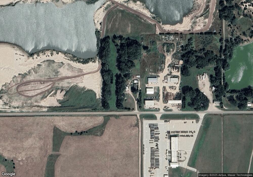
Map
Nearby Homes
- 101 Frank Ave
- 101 Adealia Ave
- 100 Henry Ave
- 101 Henry Ave
- 100 Helen Ave
- 2208 S 1st St
- 1104 Southern Dr
- 3307 W Michigan Ave
- 3206 W Michigan Ave
- 3205 W Michigan Ave
- 3306 W Michigan Ave
- 2500 W Pasewalk
- 1406 S 2nd St
- 103 S 13th Place
- 1405 S 2nd St
- 809 S 14th St
- 1303 S 3rd St
- 706 Columbia St
- 918 S 5th St
- 2300 Taylor Ave
- 1702 N Airport Rd
- 1600 N Airport Rd
- 2600 S 13th St
- 2404 S 13th St
- 3401 S 13th St
- 3207 S 12th St Unit 119
- 3207 S 12th St Unit 107
- 3207 S 12th St Unit Trlr. 55
- 3207 S 12th St
- 1301 Miles Dr
- 1211 Miles Dr
- 1209 Miles Dr
- 1303 Miles Dr
- 1207 Miles Dr
- 1305 Miles Dr
- 1205 Miles Dr
- 1205 Woodhurst Dr
- 1307 Miles Dr
- 1115 Bonita Rd
- 1115 Bonita Rd