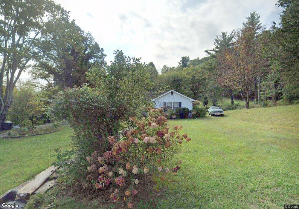
1810 Southside Rd Elizabethton, TN 37643
Estimated Value: $209,825 - $326,000
--
Bed
1
Bath
1,322
Sq Ft
$198/Sq Ft
Est. Value
About This Home
This home is located at 1810 Southside Rd, Elizabethton, TN 37643 and is currently estimated at $261,706, approximately $197 per square foot. 1810 Southside Rd is a home located in Carter County with nearby schools including Elizabethton High School and East Tn Christian Home & Academy.
Ownership History
Date
Name
Owned For
Owner Type
Purchase Details
Closed on
Sep 18, 2018
Sold by
Elizabethton Federal Savings Bank
Bought by
Cornett Debra and Murphy Alan
Current Estimated Value
Home Financials for this Owner
Home Financials are based on the most recent Mortgage that was taken out on this home.
Original Mortgage
$11,250
Outstanding Balance
$6,927
Interest Rate
4.5%
Mortgage Type
Future Advance Clause Open End Mortgage
Estimated Equity
$254,779
Purchase Details
Closed on
Aug 30, 2018
Sold by
Murphy Reva
Bought by
Elizabethton Federal Savings Bank
Home Financials for this Owner
Home Financials are based on the most recent Mortgage that was taken out on this home.
Original Mortgage
$11,250
Outstanding Balance
$6,927
Interest Rate
4.5%
Mortgage Type
Future Advance Clause Open End Mortgage
Estimated Equity
$254,779
Purchase Details
Closed on
Jun 26, 1946
Bought by
Murphy James and Murphy Reva
Create a Home Valuation Report for This Property
The Home Valuation Report is an in-depth analysis detailing your home's value as well as a comparison with similar homes in the area
Home Values in the Area
Average Home Value in this Area
Purchase History
| Date | Buyer | Sale Price | Title Company |
|---|---|---|---|
| Cornett Debra | $9,453 | None Available | |
| Elizabethton Federal Savings Bank | $6,802 | None Available | |
| Murphy James | -- | -- |
Source: Public Records
Mortgage History
| Date | Status | Borrower | Loan Amount |
|---|---|---|---|
| Open | Cornett Debra | $11,250 |
Source: Public Records
Tax History Compared to Growth
Tax History
| Year | Tax Paid | Tax Assessment Tax Assessment Total Assessment is a certain percentage of the fair market value that is determined by local assessors to be the total taxable value of land and additions on the property. | Land | Improvement |
|---|---|---|---|---|
| 2024 | $1,112 | $33,700 | $14,200 | $19,500 |
| 2023 | $1,112 | $33,700 | $0 | $0 |
| 2022 | $1,213 | $33,700 | $14,200 | $19,500 |
| 2021 | $684 | $33,700 | $14,200 | $19,500 |
| 2020 | $1,011 | $33,700 | $14,200 | $19,500 |
| 2019 | $1,011 | $23,400 | $7,800 | $15,600 |
| 2018 | $997 | $23,400 | $7,800 | $15,600 |
| 2017 | $997 | $23,400 | $7,800 | $15,600 |
| 2016 | $992 | $23,400 | $7,800 | $15,600 |
| 2015 | $995 | $23,400 | $7,800 | $15,600 |
| 2014 | $1,072 | $25,100 | $7,825 | $17,275 |
Source: Public Records
Map
Nearby Homes
- 1821 Woodhaven Dr
- 1728 Charlotte Dr
- 720 Dugger Rd
- 1735 Charlotte Dr
- Tbd Tank Rd
- 649 & 659 Gap Creek Rd
- 604 Parkway Blvd
- 660 Jena Beth Dr Unit 4
- 1809 Field Rd
- 0 Mary Patton Hwy
- 1903 W G St
- 1436 W G St
- 1411 W G St
- 304 Ridgecrest Dr
- 1614 Burgie St
- 1906 W G St
- 1604 Dixon St
- 2026 W G St
- 404 Allen Ave
- 201 Ridgecrest Dr
- 1817 Southside Rd
- 1805 Southside Rd
- 1800 Southside Rd
- LOT 1 Ray Clark Rd
- LOT 2 Ray Clark Rd
- 1826 S Side Rd
- 1809 Southside Rd
- 110 Ray Clark Rd
- 1827 S Side Rd
- 1768 Southside Rd
- 1807 Southside Rd
- 102 Ray Clark Rd
- 1765 S Side Rd
- 120 Cemetery Rd
- 104 Ray Clark Rd
- 1836 Southside Rd
- 106 Ray Clark Rd
- 1815 Southside Rd
- 101 Southside Rd
- 1846 Southside Rd