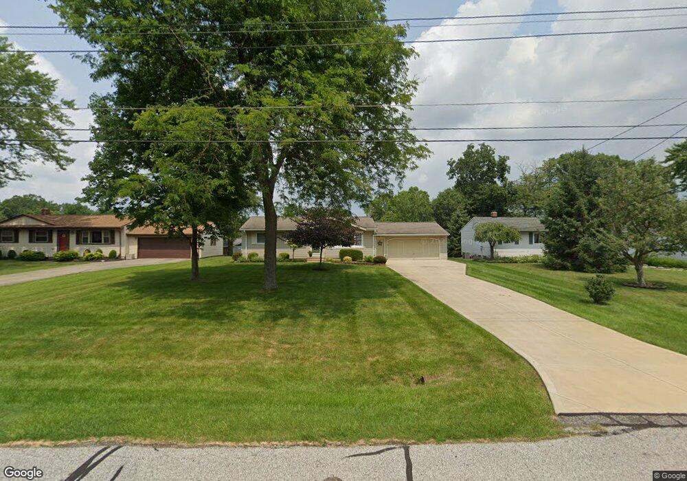
18110 Carol Dr Strongsville, OH 44136
Estimated Value: $229,211 - $261,000
3
Beds
1
Bath
980
Sq Ft
$253/Sq Ft
Est. Value
About This Home
This home is located at 18110 Carol Dr, Strongsville, OH 44136 and is currently estimated at $248,053, approximately $253 per square foot. 18110 Carol Dr is a home located in Cuyahoga County with nearby schools including Strongsville High School, Sts Joseph & John Interparochial School, and Strongsville Montessori School.
Ownership History
Date
Name
Owned For
Owner Type
Purchase Details
Closed on
Feb 12, 2013
Sold by
Demattie Carol L and Demattie David A
Bought by
Demattie Alison M and Lewis Karen L
Current Estimated Value
Purchase Details
Closed on
Feb 23, 1978
Sold by
Demattie David A and Demattie Carol L
Bought by
Demattie David Albert
Purchase Details
Closed on
Jan 1, 1975
Bought by
Demattie David A and Demattie Carol L
Create a Home Valuation Report for This Property
The Home Valuation Report is an in-depth analysis detailing your home's value as well as a comparison with similar homes in the area
Home Values in the Area
Average Home Value in this Area
Purchase History
| Date | Buyer | Sale Price | Title Company |
|---|---|---|---|
| Demattie Alison M | -- | None Available | |
| Demattie David Albert | -- | -- | |
| Demattie David A | -- | -- |
Source: Public Records
Tax History Compared to Growth
Tax History
| Year | Tax Paid | Tax Assessment Tax Assessment Total Assessment is a certain percentage of the fair market value that is determined by local assessors to be the total taxable value of land and additions on the property. | Land | Improvement |
|---|---|---|---|---|
| 2024 | $2,868 | $70,875 | $11,305 | $59,570 |
| 2023 | $2,843 | $54,570 | $13,930 | $40,640 |
| 2022 | $2,848 | $54,570 | $13,930 | $40,640 |
| 2021 | $2,826 | $54,570 | $13,930 | $40,640 |
| 2020 | $2,508 | $44,730 | $11,410 | $33,320 |
| 2019 | $2,435 | $127,800 | $32,600 | $95,200 |
| 2018 | $2,210 | $44,730 | $11,410 | $33,320 |
| 2017 | $2,108 | $40,530 | $10,290 | $30,240 |
| 2016 | $2,091 | $40,530 | $10,290 | $30,240 |
| 2015 | $2,121 | $40,530 | $10,290 | $30,240 |
| 2014 | $2,121 | $40,530 | $10,290 | $30,240 |
Source: Public Records
Map
Nearby Homes
- 18630 Shurmer Rd
- 18162 Fawn Cir
- 17069 Partridge Dr
- 19160 Wheelers Ln
- 19513 Lunn Rd
- 19311 Bradford Ct
- 19620 Porters Ln Unit 15F
- 14112 Settlers Way
- 17289 Akita Ct Unit 4508
- 19297 Lauren Way
- 14703 Lenox Dr Unit 103
- 14826 Lenox Dr
- 13513 Suncrest Ct
- 15639 Indianhead Ln
- 17024 Bear Creek Ln
- 16650 Lanier Ave
- 20078 Trapper Trail
- 17259 Woodshire Dr
- 19908 Stoughton Dr
- 18294 Drake Rd
- 18068 Carol Dr
- 18118 Carol Dr
- 18160 Carol Dr
- 18026 Carol Dr
- 18043 Potomac Dr
- 17995 Potomac Dr
- 18101 Potomac Dr
- 17947 Potomac Dr
- 0 Carol Dr Unit 3951490
- 18159 Potomac Dr
- 18204 Carol Dr
- 18111 Carol Dr
- 18119 Carol Dr
- 18069 Carol Dr
- 18217 Potomac Dr
- 17905 Potomac Dr
- 18027 Carol Dr
- 18161 Carol Dr
- 18250 Carol Dr
- 18205 Carol Dr