18145 Sands Rd Purcellville, VA 20132
Estimated Value: $757,000 - $917,822
3
Beds
4
Baths
2,670
Sq Ft
$323/Sq Ft
Est. Value
About This Home
This home is located at 18145 Sands Rd, Purcellville, VA 20132 and is currently estimated at $862,206, approximately $322 per square foot. 18145 Sands Rd is a home located in Loudoun County with nearby schools including Lincoln Elementary School, Blue Ridge Middle School, and Loudoun Valley High School.
Ownership History
Date
Name
Owned For
Owner Type
Purchase Details
Closed on
Nov 26, 1996
Sold by
Reynolds Richard F and Reynolds Maryam H
Bought by
Dukes Christopher D and Dukes Carol M
Current Estimated Value
Home Financials for this Owner
Home Financials are based on the most recent Mortgage that was taken out on this home.
Original Mortgage
$270,750
Outstanding Balance
$27,795
Interest Rate
7.81%
Mortgage Type
New Conventional
Estimated Equity
$834,411
Create a Home Valuation Report for This Property
The Home Valuation Report is an in-depth analysis detailing your home's value as well as a comparison with similar homes in the area
Home Values in the Area
Average Home Value in this Area
Purchase History
| Date | Buyer | Sale Price | Title Company |
|---|---|---|---|
| Dukes Christopher D | $285,000 | -- |
Source: Public Records
Mortgage History
| Date | Status | Borrower | Loan Amount |
|---|---|---|---|
| Open | Dukes Christopher D | $270,750 |
Source: Public Records
Tax History Compared to Growth
Tax History
| Year | Tax Paid | Tax Assessment Tax Assessment Total Assessment is a certain percentage of the fair market value that is determined by local assessors to be the total taxable value of land and additions on the property. | Land | Improvement |
|---|---|---|---|---|
| 2025 | $5,943 | $738,200 | $280,500 | $457,700 |
| 2024 | $5,909 | $683,130 | $256,300 | $426,830 |
| 2023 | $5,964 | $681,580 | $197,500 | $484,080 |
| 2022 | $5,901 | $663,080 | $183,700 | $479,380 |
| 2021 | $4,862 | $496,110 | $153,700 | $342,410 |
| 2020 | $4,878 | $471,300 | $133,700 | $337,600 |
| 2019 | $4,835 | $462,680 | $133,700 | $328,980 |
| 2018 | $4,759 | $438,650 | $133,700 | $304,950 |
| 2017 | $4,762 | $423,250 | $133,700 | $289,550 |
| 2016 | $4,894 | $427,410 | $0 | $0 |
| 2015 | $4,864 | $294,850 | $0 | $294,850 |
| 2014 | $4,743 | $291,810 | $0 | $291,810 |
Source: Public Records
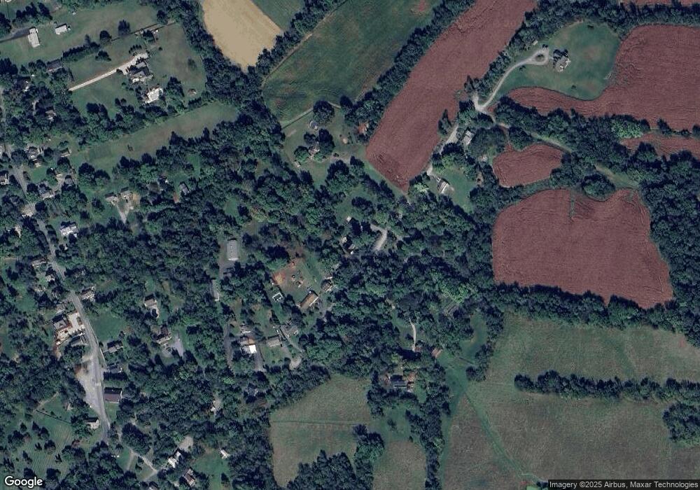
Map
Nearby Homes
- The Ashton I Plan at Valley Springs Estates
- The Ashton II Plan at Valley Springs Estates
- The Oakhall Plan at Valley Springs Estates
- The Elmsgate Plan at Valley Springs Estates
- 3 Springbury Dr
- 37517 Bernardini Ct
- 648 Elliot Dr
- Hillsboro Plan at Woodside Acres
- Robey Plan at Woodside Acres
- Chapman Plan at Woodside Acres
- Aquinnah Plan at Woodside Acres
- Millwright II Plan at Woodside Acres
- 609 S Maple Ave
- TBD Bates Dr
- 115 Frazer Dr
- 113 Frazer Dr
- 420 S 20th St
- 18302 Poplar Stand Place
- 221 S Maple Ave
- 17443 Aldershot Place
- 0 Sands Rd Unit LO3413286
- 18153 Sands Rd
- 18165 Sands Rd
- 18144 Sands Rd
- 18137 Sands Rd
- 18128 Sands Rd
- 18171 Sands Rd
- 18179 Sands Rd
- 18118 Sands Rd
- 18183 Sands Rd
- 18156 Sands Rd
- 18189 Sands Rd
- 37872 Friendly Ln
- 18194 Sands Rd
- 18203 Sands Rd
- 37848 Friendly Ln
- 18198 Sands Rd
- 18088 Lincoln Rd
- 18166 Lincoln Rd
- 18188 Lincoln Rd