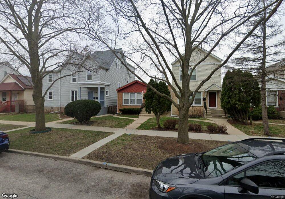
1820 Ashland Ave Evanston, IL 60201
West Evanston NeighborhoodEstimated Value: $298,000 - $398,000
3
Beds
1
Bath
1,045
Sq Ft
$334/Sq Ft
Est. Value
About This Home
This home is located at 1820 Ashland Ave, Evanston, IL 60201 and is currently estimated at $348,885, approximately $333 per square foot. 1820 Ashland Ave is a home located in Cook County with nearby schools including Willard Elementary School, Haven Middle School, and Evanston Township High School.
Ownership History
Date
Name
Owned For
Owner Type
Purchase Details
Closed on
Jul 24, 1995
Sold by
Phillips John W and Phillips Brenda J
Bought by
Mitchell George and Mitchell Martha
Current Estimated Value
Home Financials for this Owner
Home Financials are based on the most recent Mortgage that was taken out on this home.
Original Mortgage
$91,200
Interest Rate
7.59%
Create a Home Valuation Report for This Property
The Home Valuation Report is an in-depth analysis detailing your home's value as well as a comparison with similar homes in the area
Home Values in the Area
Average Home Value in this Area
Purchase History
| Date | Buyer | Sale Price | Title Company |
|---|---|---|---|
| Mitchell George | $120,000 | -- |
Source: Public Records
Mortgage History
| Date | Status | Borrower | Loan Amount |
|---|---|---|---|
| Closed | Mitchell George | $91,200 |
Source: Public Records
Tax History Compared to Growth
Tax History
| Year | Tax Paid | Tax Assessment Tax Assessment Total Assessment is a certain percentage of the fair market value that is determined by local assessors to be the total taxable value of land and additions on the property. | Land | Improvement |
|---|---|---|---|---|
| 2024 | $5,250 | $25,000 | $3,810 | $21,190 |
| 2023 | $5,013 | $25,000 | $3,810 | $21,190 |
| 2022 | $5,013 | $25,000 | $3,810 | $21,190 |
| 2021 | $3,365 | $16,012 | $3,492 | $12,520 |
| 2020 | $3,380 | $16,012 | $3,492 | $12,520 |
| 2019 | $3,402 | $17,951 | $3,492 | $14,459 |
| 2018 | $3,063 | $14,615 | $2,857 | $11,758 |
| 2017 | $2,999 | $14,615 | $2,857 | $11,758 |
| 2016 | $3,067 | $14,615 | $2,857 | $11,758 |
| 2015 | $4,279 | $18,580 | $2,460 | $16,120 |
| 2014 | $4,252 | $18,580 | $2,460 | $16,120 |
| 2013 | $4,139 | $18,580 | $2,460 | $16,120 |
Source: Public Records
Map
Nearby Homes
- 1621 Church St
- 1801 Lyons St
- 1813 Dodge Ave
- 1739 Dodge Ave
- 1228 Emerson St Unit 304
- 2005 Darrow Ave
- 2026 Green Bay Rd
- 1801 Brown Ave
- 1940 Dodge Ave
- 1720 Oak Ave Unit 502
- 1720 Oak Ave Unit 701
- 1720 Oak Ave Unit 706
- 2118 Jackson Ave
- 1832 Hovland Ct
- 1585 Ridge Ave Unit 506
- 1585 Ridge Ave Unit 404
- 2017 Jackson Ave
- 1718 Hovland Ct
- 1720 Maple Ave Unit 2710
- 1720 Maple Ave Unit 2380
- 1822 Ashland Ave
- 1812 Ashland Ave
- 1818 Ashland Ave Unit 2
- 1818 Ashland Ave Unit 1
- 1824 Ashland Ave
- 1826 Ashland Ave
- 1810 Ashland Ave
- 1828 Ashland Ave
- 1832 Ashland Ave
- 1834 Ashland Ave
- 1838 Ashland Ave
- 1844 Ashland Ave
- 1846 Ashland Ave
- 1618 Emerson St
- 1801 Ashland Ave
- 1742 Ashland Ave
- 1815 Ashland Ave
- 1819 Ashland Ave
- 1823 Ashland Ave