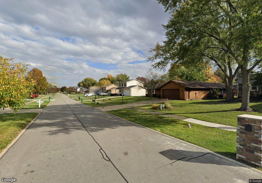
18217 Potomac Dr Strongsville, OH 44136
Estimated Value: $323,968 - $403,000
3
Beds
3
Baths
1,684
Sq Ft
$209/Sq Ft
Est. Value
About This Home
This home is located at 18217 Potomac Dr, Strongsville, OH 44136 and is currently estimated at $351,742, approximately $208 per square foot. 18217 Potomac Dr is a home located in Cuyahoga County with nearby schools including Strongsville High School, Strongsville Academy, and Sts Joseph & John Interparochial School.
Ownership History
Date
Name
Owned For
Owner Type
Purchase Details
Closed on
Oct 26, 2023
Sold by
Pudussery Joseph G and Pudussery Rosy K
Bought by
Pudussery Family Trust and Pudussery
Current Estimated Value
Purchase Details
Closed on
Sep 8, 2000
Sold by
Fisher Linda J
Bought by
Pudussery Joseph G and Pudussery Rosy K
Home Financials for this Owner
Home Financials are based on the most recent Mortgage that was taken out on this home.
Original Mortgage
$120,000
Interest Rate
8.15%
Purchase Details
Closed on
Sep 9, 1985
Bought by
Fisher Linda J
Purchase Details
Closed on
Feb 19, 1985
Bought by
The Reserve Coinc
Purchase Details
Closed on
Nov 7, 1983
Bought by
Continental Federal
Purchase Details
Closed on
Jan 1, 1981
Bought by
Four Seasons Bldrs Inc
Create a Home Valuation Report for This Property
The Home Valuation Report is an in-depth analysis detailing your home's value as well as a comparison with similar homes in the area
Home Values in the Area
Average Home Value in this Area
Purchase History
| Date | Buyer | Sale Price | Title Company |
|---|---|---|---|
| Pudussery Family Trust | -- | None Listed On Document | |
| Pudussery Joseph G | $154,000 | Guardian Title | |
| Fisher Linda J | $15,000 | -- | |
| The Reserve Coinc | -- | -- | |
| Continental Federal | -- | -- | |
| Four Seasons Bldrs Inc | -- | -- |
Source: Public Records
Mortgage History
| Date | Status | Borrower | Loan Amount |
|---|---|---|---|
| Previous Owner | Pudussery Joseph G | $120,000 |
Source: Public Records
Tax History Compared to Growth
Tax History
| Year | Tax Paid | Tax Assessment Tax Assessment Total Assessment is a certain percentage of the fair market value that is determined by local assessors to be the total taxable value of land and additions on the property. | Land | Improvement |
|---|---|---|---|---|
| 2024 | $4,351 | $102,480 | $18,760 | $83,720 |
| 2023 | $3,971 | $72,590 | $15,190 | $57,400 |
| 2022 | $3,968 | $72,590 | $15,190 | $57,400 |
| 2021 | $3,937 | $72,590 | $15,190 | $57,400 |
| 2020 | $3,831 | $63,700 | $13,340 | $50,370 |
| 2019 | $4,311 | $182,000 | $38,100 | $143,900 |
| 2018 | $3,831 | $63,700 | $13,340 | $50,370 |
| 2017 | $3,820 | $57,580 | $12,180 | $45,400 |
| 2016 | $3,789 | $57,580 | $12,180 | $45,400 |
| 2015 | $3,842 | $57,580 | $12,180 | $45,400 |
| 2014 | $3,842 | $57,580 | $12,180 | $45,400 |
Source: Public Records
Map
Nearby Homes
- 18630 Shurmer Rd
- 18162 Fawn Cir
- 17069 Partridge Dr
- 19160 Wheelers Ln
- 19513 Lunn Rd
- 19311 Bradford Ct
- 19620 Porters Ln Unit 15F
- 14112 Settlers Way
- 17289 Akita Ct Unit 4508
- 14703 Lenox Dr Unit 103
- 13513 Suncrest Ct
- 19297 Lauren Way
- 14826 Lenox Dr
- 15639 Indianhead Ln
- 20078 Trapper Trail
- 17024 Bear Creek Ln
- 16650 Lanier Ave
- 17259 Woodshire Dr
- 19908 Stoughton Dr
- 18294 Drake Rd
- 18159 Potomac Dr
- 18265 Potomac Dr
- 18101 Potomac Dr
- 18313 Potomac Dr
- 18204 Carol Dr
- 18250 Carol Dr
- 18160 Carol Dr
- 18206 Potomac Dr
- 18264 Potomac Dr
- 18148 Potomac Dr
- 18118 Carol Dr
- 18294 Carol Dr
- 18043 Potomac Dr
- 18361 Potomac Dr
- 18090 Potomac Dr
- 18110 Carol Dr
- 0 Carol Dr Unit 3951490
- 18360 Potomac Dr
- 18302 Carol Dr
- 17995 Potomac Dr