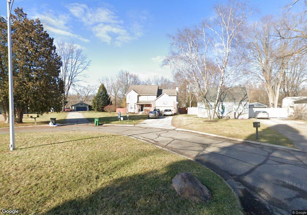
18225 Brentwood St Livonia, MI 48152
Estimated Value: $352,000 - $441,000
4
Beds
3
Baths
2,219
Sq Ft
$188/Sq Ft
Est. Value
About This Home
This home is located at 18225 Brentwood St, Livonia, MI 48152 and is currently estimated at $416,293, approximately $187 per square foot. 18225 Brentwood St is a home located in Wayne County with nearby schools including Coolidge Elementary School, Riley Upper Elementary School, and Webster Elementary School.
Ownership History
Date
Name
Owned For
Owner Type
Purchase Details
Closed on
Jan 10, 2003
Sold by
Spierling David and Spierling Angela
Bought by
Heston David W
Current Estimated Value
Home Financials for this Owner
Home Financials are based on the most recent Mortgage that was taken out on this home.
Original Mortgage
$223,900
Outstanding Balance
$95,797
Interest Rate
6.06%
Estimated Equity
$320,496
Create a Home Valuation Report for This Property
The Home Valuation Report is an in-depth analysis detailing your home's value as well as a comparison with similar homes in the area
Home Values in the Area
Average Home Value in this Area
Purchase History
| Date | Buyer | Sale Price | Title Company |
|---|---|---|---|
| Heston David W | $279,900 | William T Sheahan Title Comp |
Source: Public Records
Mortgage History
| Date | Status | Borrower | Loan Amount |
|---|---|---|---|
| Open | Heston David W | $223,900 | |
| Closed | Heston David W | $41,950 |
Source: Public Records
Tax History Compared to Growth
Tax History
| Year | Tax Paid | Tax Assessment Tax Assessment Total Assessment is a certain percentage of the fair market value that is determined by local assessors to be the total taxable value of land and additions on the property. | Land | Improvement |
|---|---|---|---|---|
| 2025 | $2,581 | $211,500 | $0 | $0 |
| 2024 | $2,581 | $198,200 | $0 | $0 |
| 2023 | $2,462 | $175,300 | $0 | $0 |
| 2022 | $4,382 | $158,100 | $0 | $0 |
| 2021 | $4,257 | $152,000 | $0 | $0 |
| 2019 | $4,096 | $135,000 | $0 | $0 |
| 2018 | $2,081 | $125,200 | $0 | $0 |
| 2017 | $3,815 | $123,200 | $0 | $0 |
| 2016 | $3,900 | $120,500 | $0 | $0 |
| 2015 | $9,289 | $108,870 | $0 | $0 |
| 2012 | -- | $92,880 | $22,690 | $70,190 |
Source: Public Records
Map
Nearby Homes
- 18061 Lathers St
- 29507 Mark Ln
- 29560 Clarita St Unit 11
- 18071 Floral St
- 18884 Lathers St
- 18001 Floral St
- 18913 Gillman St
- 29721 Pickford St
- 18404 Deering St
- 18411 Foch St
- 18206 Foch St
- 29836 Bobrich St
- 18590 Pershing Ave
- 18570 Pershing St
- 18626 Inkster Rd
- 30285 7 Mile Rd
- 29945 6 Mile Rd
- 18872 Hillcrest St
- 27427 Vargo St
- 17586 Hillcrest St
- 18213 Brentwood St
- 18249 Brentwood St
- 18200 Brentwood St
- 18212 Brentwood St
- 28625 Pickford St
- 28905 Pickford St
- 18273 Brentwood St
- 28635 Pickford St
- 18224 Brentwood St
- 28605 Pickford St
- 18285 Brentwood St
- 18236 Brentwood St
- 18248 Brentwood St
- 28951 Pickford St
- 28535 Pickford St
- 18260 Brentwood St
- 18297 Brentwood St
- 18284 Brentwood St
- 18338 Grimm St
- 28995 Pickford St