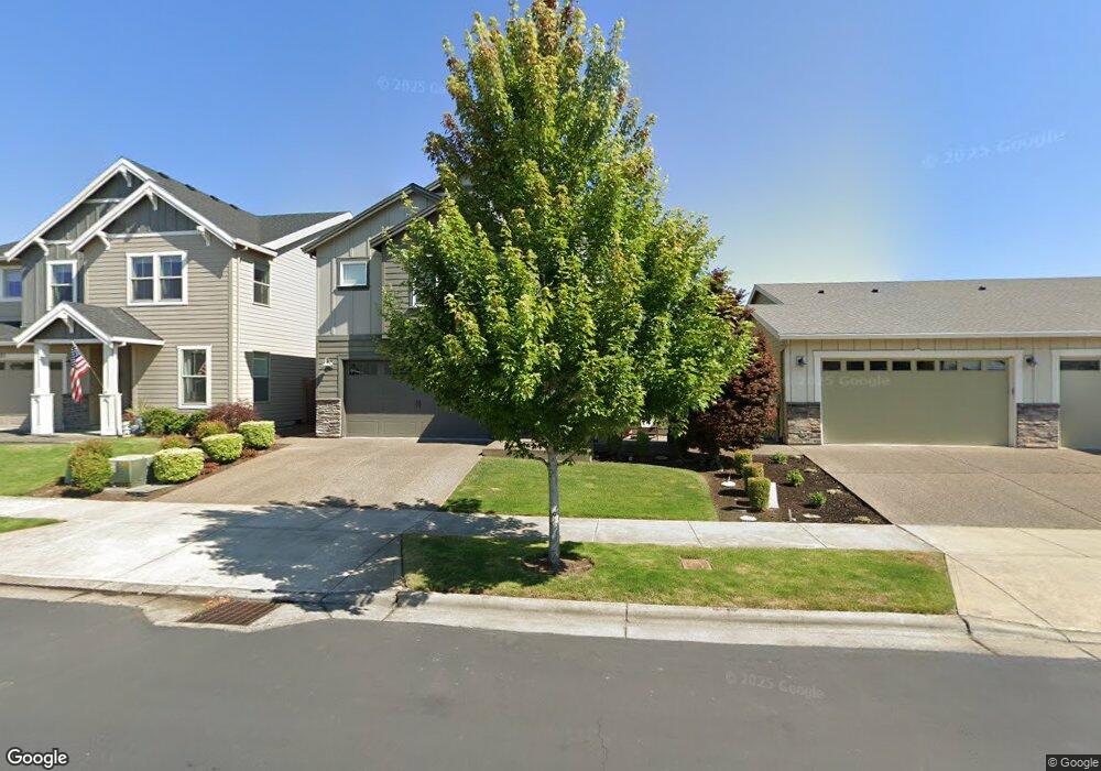
1825 Silverstone Dr Forest Grove, OR 97116
Estimated Value: $637,000 - $712,000
3
Beds
3
Baths
2,708
Sq Ft
$247/Sq Ft
Est. Value
About This Home
This home is located at 1825 Silverstone Dr, Forest Grove, OR 97116 and is currently estimated at $670,118, approximately $247 per square foot. 1825 Silverstone Dr is a home with nearby schools including Harvey Clarke Elementary School, Tom McCall Upper Elementary School, and Neil Armstrong Middle School.
Ownership History
Date
Name
Owned For
Owner Type
Purchase Details
Closed on
Jan 4, 2022
Sold by
Baca Cliff M and Sanchez Baca Mary
Bought by
Baca Cliff M and Sanchez Baca Mary
Current Estimated Value
Purchase Details
Closed on
Aug 2, 2018
Sold by
Stone Bridge Homes Nw Llc
Bought by
Baca Cliff M and Baca Mary Catherine
Home Financials for this Owner
Home Financials are based on the most recent Mortgage that was taken out on this home.
Original Mortgage
$453,100
Outstanding Balance
$391,856
Interest Rate
4.5%
Mortgage Type
New Conventional
Estimated Equity
$278,262
Create a Home Valuation Report for This Property
The Home Valuation Report is an in-depth analysis detailing your home's value as well as a comparison with similar homes in the area
Home Values in the Area
Average Home Value in this Area
Purchase History
| Date | Buyer | Sale Price | Title Company |
|---|---|---|---|
| Baca Cliff M | -- | None Available | |
| Baca Cliff M | $525,000 | First American Title |
Source: Public Records
Mortgage History
| Date | Status | Borrower | Loan Amount |
|---|---|---|---|
| Open | Baca Cliff M | $453,100 |
Source: Public Records
Tax History Compared to Growth
Tax History
| Year | Tax Paid | Tax Assessment Tax Assessment Total Assessment is a certain percentage of the fair market value that is determined by local assessors to be the total taxable value of land and additions on the property. | Land | Improvement |
|---|---|---|---|---|
| 2026 | $6,732 | $378,060 | -- | -- |
| 2025 | $6,732 | $367,050 | -- | -- |
| 2024 | $6,495 | $356,360 | -- | -- |
| 2023 | $6,495 | $345,990 | $0 | $0 |
| 2022 | $5,679 | $345,990 | $0 | $0 |
| 2021 | $5,606 | $326,140 | $0 | $0 |
| 2020 | $5,575 | $316,650 | $0 | $0 |
| 2019 | $5,451 | $307,430 | $0 | $0 |
| 2018 | $1,145 | $64,680 | $0 | $0 |
Source: Public Records
Map
Nearby Homes
- 1815 35th Ave
- 3522 Arleen Ct
- 2120 36th Ave
- 2180 36th Ave
- 2150 36th Ave
- 2130 36th Ave
- 2160 36th Ave
- 2117 36th Ave Unit Lot 64
- 2133 36th Ave Unit Lot 62
- 3655 Fieldstone St
- 3605 Main St
- 2002 Aspen Ln
- Pacific Plan at Davis Estates
- Newport Plan at Davis Estates
- Dahlia Plan at Davis Estates
- Azalea Plan at Davis Estates
- 3609 Main St
- 2035 35th Ave
- 3594 Ash St Unit Lot 25
- 2043 35th Ave
- 1821 Silverstone Dr
- 1829 Silverstone Dr
- 1828 35th Ave
- 1817 Silverstone Dr
- 1822 35th Ave
- 1816 35th Ave
- 1813 Silverstone Dr
- 1820 Silverstone Dr
- 1832 Silverstone Dr
- 1810 35th Ave
- 1814 Silverstone Dr
- 1839 Silverstone Dr
- 1838 Silverstone Dr
- 1809 Silverstone Dr
- 1857 35th Ave
- 1804 35th Ave
- 1851 35th Ave
- 1844 Silverstone Dr
- 1827 35th Ave