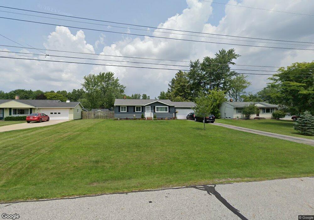
18250 Carol Dr Strongsville, OH 44136
Estimated Value: $230,651 - $267,000
3
Beds
1
Bath
980
Sq Ft
$255/Sq Ft
Est. Value
About This Home
This home is located at 18250 Carol Dr, Strongsville, OH 44136 and is currently estimated at $249,413, approximately $254 per square foot. 18250 Carol Dr is a home located in Cuyahoga County with nearby schools including Strongsville High School, Sts Joseph & John Interparochial School, and Strongsville Montessori School.
Ownership History
Date
Name
Owned For
Owner Type
Purchase Details
Closed on
Jul 21, 2001
Sold by
Wollerman Laverne R
Bought by
Vozar Michael A and Vozar Jeanette A
Current Estimated Value
Home Financials for this Owner
Home Financials are based on the most recent Mortgage that was taken out on this home.
Original Mortgage
$110,900
Outstanding Balance
$42,800
Interest Rate
7.16%
Estimated Equity
$206,613
Purchase Details
Closed on
Jan 1, 1975
Bought by
Wollerman Laverne R
Create a Home Valuation Report for This Property
The Home Valuation Report is an in-depth analysis detailing your home's value as well as a comparison with similar homes in the area
Home Values in the Area
Average Home Value in this Area
Purchase History
| Date | Buyer | Sale Price | Title Company |
|---|---|---|---|
| Vozar Michael A | $134,900 | -- | |
| Wollerman Laverne R | -- | -- |
Source: Public Records
Mortgage History
| Date | Status | Borrower | Loan Amount |
|---|---|---|---|
| Open | Vozar Michael A | $110,900 |
Source: Public Records
Tax History Compared to Growth
Tax History
| Year | Tax Paid | Tax Assessment Tax Assessment Total Assessment is a certain percentage of the fair market value that is determined by local assessors to be the total taxable value of land and additions on the property. | Land | Improvement |
|---|---|---|---|---|
| 2024 | $3,349 | $71,330 | $13,370 | $57,960 |
| 2023 | $3,542 | $56,570 | $15,020 | $41,550 |
| 2022 | $3,516 | $56,560 | $15,020 | $41,550 |
| 2021 | $3,489 | $56,560 | $15,020 | $41,550 |
| 2020 | $3,233 | $46,380 | $12,320 | $34,060 |
| 2019 | $3,138 | $132,500 | $35,200 | $97,300 |
| 2018 | $2,804 | $46,380 | $12,320 | $34,060 |
| 2017 | $2,810 | $42,360 | $11,100 | $31,260 |
| 2016 | $2,787 | $42,360 | $11,100 | $31,260 |
| 2015 | $2,827 | $42,360 | $11,100 | $31,260 |
| 2014 | $2,827 | $42,360 | $11,100 | $31,260 |
Source: Public Records
Map
Nearby Homes
- 18630 Shurmer Rd
- 18162 Fawn Cir
- 17069 Partridge Dr
- 19160 Wheelers Ln
- 19513 Lunn Rd
- 19311 Bradford Ct
- 19620 Porters Ln Unit 15F
- 14112 Settlers Way
- 19297 Lauren Way
- 17289 Akita Ct Unit 4508
- 14703 Lenox Dr Unit 103
- 14826 Lenox Dr
- 13513 Suncrest Ct
- 17024 Bear Creek Ln
- 15639 Indianhead Ln
- 20078 Trapper Trail
- 17259 Woodshire Dr
- 16650 Lanier Ave
- 19908 Stoughton Dr
- 18294 Drake Rd
- 18204 Carol Dr
- 18294 Carol Dr
- 18265 Potomac Dr
- 18160 Carol Dr
- 18217 Potomac Dr
- 0 Carol Dr Unit 3951490
- 18313 Potomac Dr
- 18302 Carol Dr
- 18159 Potomac Dr
- 18361 Potomac Dr
- 18251 Carol Dr
- 18118 Carol Dr
- 18295 Carol Dr
- 18300 Carol Dr
- 18101 Potomac Dr
- 18205 Carol Dr
- 18409 Potomac Dr
- 18110 Carol Dr
- 18161 Carol Dr
- 18043 Potomac Dr