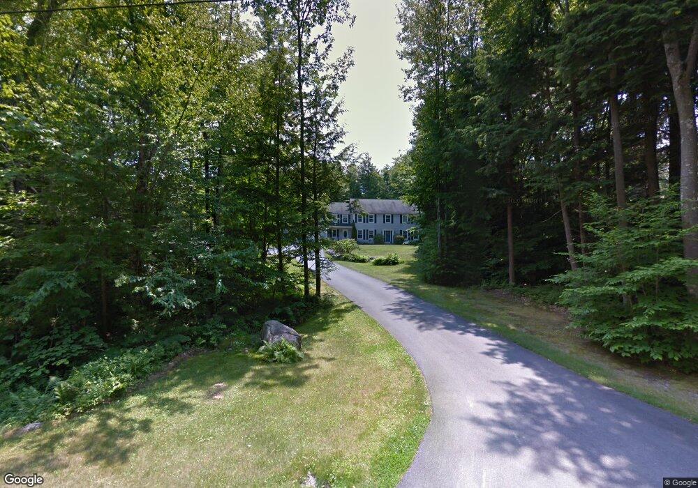
183 Hearthside Rd Standish, ME 04084
North Gorham NeighborhoodEstimated Value: $939,000 - $1,176,000
4
Beds
3
Baths
3,390
Sq Ft
$316/Sq Ft
Est. Value
About This Home
This home is located at 183 Hearthside Rd, Standish, ME 04084 and is currently estimated at $1,070,061, approximately $315 per square foot. 183 Hearthside Rd is a home located in Cumberland County with nearby schools including Bonny Eagle High School and Windham Christian Academy.
Ownership History
Date
Name
Owned For
Owner Type
Purchase Details
Closed on
Jan 6, 2011
Sold by
Gifford Carol A
Bought by
Gifford Carol A and Argraves Tedd M
Current Estimated Value
Home Financials for this Owner
Home Financials are based on the most recent Mortgage that was taken out on this home.
Original Mortgage
$245,000
Outstanding Balance
$158,478
Interest Rate
4.4%
Mortgage Type
Unknown
Estimated Equity
$911,583
Create a Home Valuation Report for This Property
The Home Valuation Report is an in-depth analysis detailing your home's value as well as a comparison with similar homes in the area
Home Values in the Area
Average Home Value in this Area
Purchase History
| Date | Buyer | Sale Price | Title Company |
|---|---|---|---|
| Gifford Carol A | -- | -- | |
| Gifford Carol A | -- | -- |
Source: Public Records
Mortgage History
| Date | Status | Borrower | Loan Amount |
|---|---|---|---|
| Open | Gifford Carol A | $245,000 | |
| Closed | Gifford Carol A | $245,000 |
Source: Public Records
Tax History Compared to Growth
Tax History
| Year | Tax Paid | Tax Assessment Tax Assessment Total Assessment is a certain percentage of the fair market value that is determined by local assessors to be the total taxable value of land and additions on the property. | Land | Improvement |
|---|---|---|---|---|
| 2024 | $10,395 | $825,000 | $323,100 | $501,900 |
| 2023 | $10,098 | $729,100 | $247,000 | $482,100 |
| 2022 | $9,271 | $641,600 | $199,100 | $442,500 |
| 2021 | $9,036 | $602,400 | $180,800 | $421,600 |
| 2019 | $8,345 | $583,600 | $171,200 | $412,400 |
| 2018 | $21,689 | $565,300 | $152,900 | $412,400 |
| 2017 | $7,490 | $565,300 | $152,900 | $412,400 |
| 2016 | $7,247 | $565,300 | $152,900 | $412,400 |
| 2015 | $7,230 | $565,300 | $152,900 | $412,400 |
| 2013 | -- | $562,900 | $152,900 | $410,000 |
Source: Public Records
Map
Nearby Homes
- 194 Hearthside Rd
- 41 Shaw Acres Rd
- 72 Sand Beach Rd
- 34 Stoneridge Dr
- 79 Whites Point Rd
- 59 Wild Acres Rd
- 7 Papoose Island Rd
- 103 Basin Rd
- 7 Wild Acres Rd
- 6 Gilman Rd
- Lot #1 Chamberlain Dr
- 34 Trails End Rd
- 36 Whites Bridge Rd Unit 8
- 17 Blueberry Point Rd
- 12 Hillside Dr
- 10 Arlene Ln
- 1042 Roosevelt Trail
- 34 Robin Ln
- 55 Page Rd
- 32 Middle Jam Rd
- 193 Hearthside Rd
- 181 Hearthside Rd
- 178 Hearthside
- 197 Hearthside Rd
- 180 Hearthside Rd
- 186 Hearthside Rd
- 177 Hearthside Rd
- 168 Hearthside Rd
- 198 Hearthside Rd
- 202 Hearthside Rd
- 205 Hearthside Rd
- 206 Hearthside Rd
- 158 Hearthside Rd
- 171 Hearthside Rd
- 209 Hearthside Rd
- 167 Hearthside Rd
- 152 Hearthside Rd
- 163 Hearthside Rd
- 214 Hearthside Rd
- 144 Hearthside Rd