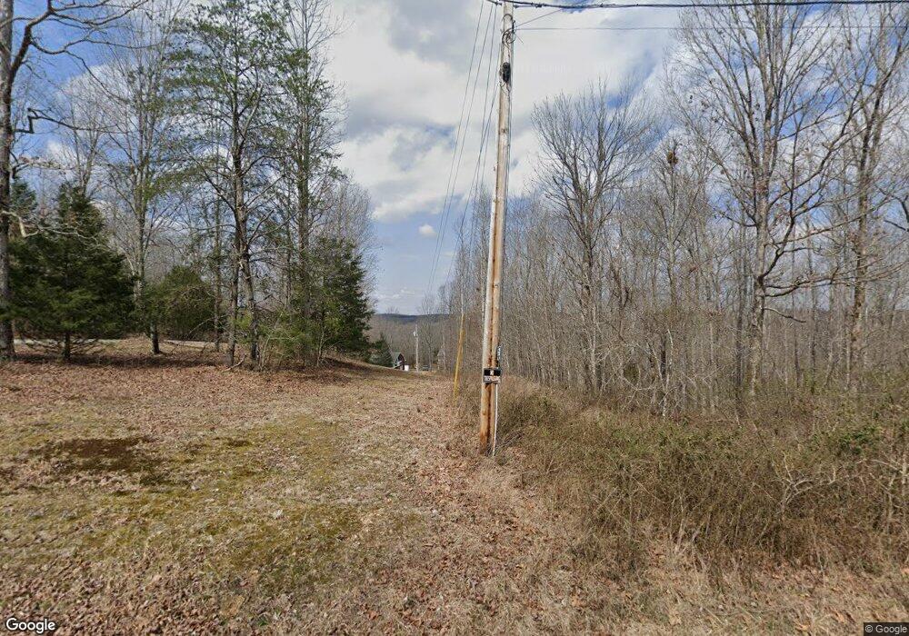
183 Robert Hensley Rd Hohenwald, TN 38462
Estimated Value: $428,000 - $689,000
--
Bed
5
Baths
2,918
Sq Ft
$204/Sq Ft
Est. Value
About This Home
This home is located at 183 Robert Hensley Rd, Hohenwald, TN 38462 and is currently estimated at $596,206, approximately $204 per square foot. 183 Robert Hensley Rd is a home located in Lewis County with nearby schools including Lewis County Elementary School, Lewis County Intermediate School, and Lewis County Middle School.
Ownership History
Date
Name
Owned For
Owner Type
Purchase Details
Closed on
Jan 11, 2010
Sold by
Couch Donna M
Bought by
Grody Vicky Louise
Current Estimated Value
Home Financials for this Owner
Home Financials are based on the most recent Mortgage that was taken out on this home.
Original Mortgage
$170,000
Outstanding Balance
$50,805
Interest Rate
4.8%
Mortgage Type
Cash
Estimated Equity
$545,401
Purchase Details
Closed on
May 7, 1999
Bought by
Gerody Wilma H
Create a Home Valuation Report for This Property
The Home Valuation Report is an in-depth analysis detailing your home's value as well as a comparison with similar homes in the area
Home Values in the Area
Average Home Value in this Area
Purchase History
| Date | Buyer | Sale Price | Title Company |
|---|---|---|---|
| Grody Vicky Louise | $236,000 | -- | |
| Gerody Wilma H | $57,000 | -- |
Source: Public Records
Mortgage History
| Date | Status | Borrower | Loan Amount |
|---|---|---|---|
| Open | Gerody Wilma H | $170,000 |
Source: Public Records
Tax History Compared to Growth
Tax History
| Year | Tax Paid | Tax Assessment Tax Assessment Total Assessment is a certain percentage of the fair market value that is determined by local assessors to be the total taxable value of land and additions on the property. | Land | Improvement |
|---|---|---|---|---|
| 2025 | $1,940 | $180,275 | $0 | $0 |
| 2024 | $1,940 | $103,000 | $9,125 | $93,875 |
| 2023 | $1,940 | $103,000 | $9,125 | $93,875 |
| 2022 | $1,940 | $103,000 | $9,125 | $93,875 |
| 2021 | $1,940 | $103,000 | $9,125 | $93,875 |
| 2020 | $2,069 | $103,000 | $9,125 | $93,875 |
| 2019 | $2,069 | $90,200 | $8,525 | $81,675 |
| 2018 | $2,069 | $90,200 | $8,525 | $81,675 |
| 2017 | $2,069 | $90,200 | $8,525 | $81,675 |
| 2016 | $2,069 | $90,200 | $8,525 | $81,675 |
| 2015 | -- | $90,200 | $8,525 | $81,675 |
| 2014 | -- | $90,200 | $8,525 | $81,675 |
| 2013 | -- | $83,900 | $0 | $0 |
Source: Public Records
Map
Nearby Homes
- 176 Robert Hensley Rd
- 559 Tablerock Rd
- 761 Metal Ford Rd
- 694 Napier Rd
- 446 Grinder Creek Rd
- 139 Lost Arrowhead Rd
- 104 Limo View Ln
- 128 Day Break Rd
- 0 Quail Hollow Rd
- 212 Reed Rd
- 2039 Buffalo Rd
- 130 Hawk Ridge Rd
- 446 Grinders Creek Rd
- 443 Sickler Rd
- 0 Paul Reed Rd
- 170 Warriors Path Ridge Rd
- 170 Warriors Path Rd
- 529 Napier Rd
- 112 Rush Branch Rd
- 190 Mallard Rd
- 175 Pollock Cemetry Rd
- 188 Barnes Lake Rd
- 151 Barnes Lake Rd
- 216 Robert Hensley Rd
- 179 Pollock Cemetery Rd
- 160 Barnes Lake Rd
- 183 Pollock Cemetery Rd
- 152 Barnes Lake Rd
- 195 Pollock Cemetery Rd
- 0 Robert Hensley Rd
- 148 Barnes Lake Rd
- 144 Barnes Lake Rd
- 244 Robert Hensley Rd
- 173 Barnes Lake Rd
- 180 Barnes Lake Rd
- 161 Barnes Lake Rd
- 254 Robert Hensley Rd
- 224 Robert Hensley Rd
- 215 Pollock Cemetery Rd
- 18 Barnes Lake Rd
