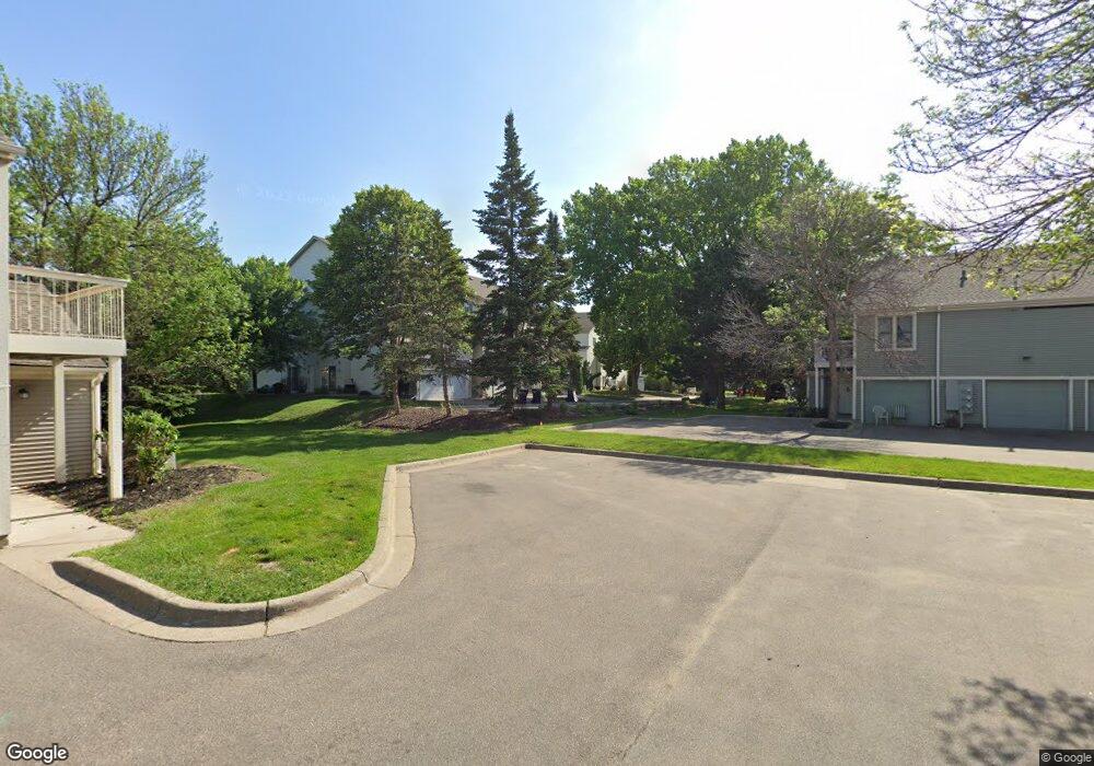
1831 E 122nd St Burnsville, MN 55337
Estimated Value: $248,710 - $261,000
2
Beds
2
Baths
1,234
Sq Ft
$205/Sq Ft
Est. Value
About This Home
This home is located at 1831 E 122nd St, Burnsville, MN 55337 and is currently estimated at $252,678, approximately $204 per square foot. 1831 E 122nd St is a home located in Dakota County with nearby schools including William Byrne Elementary School, Burnsville High School, and Gateway STEM Academy.
Ownership History
Date
Name
Owned For
Owner Type
Purchase Details
Closed on
Aug 19, 2022
Sold by
Malenick Zachary
Bought by
Zendejas Cristian
Current Estimated Value
Home Financials for this Owner
Home Financials are based on the most recent Mortgage that was taken out on this home.
Original Mortgage
$239,000
Outstanding Balance
$228,109
Interest Rate
5.3%
Mortgage Type
New Conventional
Estimated Equity
$24,569
Purchase Details
Closed on
Mar 18, 2016
Sold by
Stovel David W
Bought by
Malenick Zachary J
Home Financials for this Owner
Home Financials are based on the most recent Mortgage that was taken out on this home.
Original Mortgage
$144,875
Interest Rate
3.65%
Mortgage Type
New Conventional
Purchase Details
Closed on
Apr 25, 2003
Sold by
Seaver Ronnie A and Seaver Phimpha P
Bought by
Stovel David W
Purchase Details
Closed on
May 13, 1996
Sold by
Construc Johnson
Bought by
Seaver Ronnie
Create a Home Valuation Report for This Property
The Home Valuation Report is an in-depth analysis detailing your home's value as well as a comparison with similar homes in the area
Home Values in the Area
Average Home Value in this Area
Purchase History
| Date | Buyer | Sale Price | Title Company |
|---|---|---|---|
| Zendejas Cristian | $239,000 | -- | |
| Malenick Zachary J | $152,500 | Titlenexus Llc | |
| Stovel David W | $158,000 | -- | |
| Seaver Ronnie | $93,055 | -- |
Source: Public Records
Mortgage History
| Date | Status | Borrower | Loan Amount |
|---|---|---|---|
| Open | Zendejas Cristian | $239,000 | |
| Previous Owner | Malenick Zachary J | $144,875 |
Source: Public Records
Tax History Compared to Growth
Tax History
| Year | Tax Paid | Tax Assessment Tax Assessment Total Assessment is a certain percentage of the fair market value that is determined by local assessors to be the total taxable value of land and additions on the property. | Land | Improvement |
|---|---|---|---|---|
| 2024 | $2,284 | $238,100 | $46,600 | $191,500 |
| 2023 | $2,284 | $229,900 | $46,700 | $183,200 |
| 2022 | $1,876 | $224,100 | $46,600 | $177,500 |
| 2021 | $1,846 | $190,800 | $40,500 | $150,300 |
| 2020 | $1,706 | $179,500 | $38,500 | $141,000 |
| 2019 | $1,612 | $162,600 | $36,700 | $125,900 |
| 2018 | $1,442 | $148,800 | $34,000 | $114,800 |
| 2017 | $1,305 | $132,400 | $31,400 | $101,000 |
| 2016 | $1,410 | $121,400 | $29,900 | $91,500 |
| 2015 | $1,347 | $98,683 | $23,029 | $75,654 |
| 2014 | -- | $98,138 | $21,571 | $76,567 |
| 2013 | -- | $83,096 | $18,290 | $64,806 |
Source: Public Records
Map
Nearby Homes
- 2007 E 122nd St Unit B15
- 2011 E 122nd St Unit D24
- 2005 E 122nd St Unit A7
- 2005 E 122nd St Unit A14
- 2005 E 122nd St Unit A23
- 12316 Michelle Cir
- 12232 Oak Leaf Cir
- 1609 Riverwood Dr
- 12284 River Valley Dr
- 12251 River Valley Dr
- 12420 Chippewa Ln
- 122 Birnamwood Dr
- 1853 Riverwood Dr Unit 4
- 1115 E Travelers Trail
- 2300 Villaburne Ct W
- 1800 Riverwood Dr Unit 110
- 1800 Riverwood Dr Unit 323
- 37 Birnamwood Dr
- 2400 E 125th St
- 2200 Horizon Rd
- 1829 1829 122nd-Street-e
- 1829 E 122nd St
- 1829 122nd St E
- 1825 E 122nd St
- 1823 E 122nd St
- 1827 E 122nd St
- 1821 E 122nd St
- 1841 E 122nd St
- 1839 E 122nd St
- 1837 E 122nd St
- 1835 E 122nd St
- 1843 E 122nd St
- 1845 E 122nd St
- 1847 E 122nd St
- 1833 E 122nd St
- 1849 E 122nd St
- 1851 E 122nd St
- 1855 E 122nd St
- 12213 17th Ave S
- 12213 17th Ave S