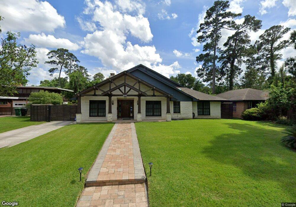
1831 Viking Dr Houston, TX 77018
Oak Forest-Garden Oaks NeighborhoodEstimated Value: $848,000 - $1,154,000
4
Beds
2
Baths
4,295
Sq Ft
$240/Sq Ft
Est. Value
About This Home
This home is located at 1831 Viking Dr, Houston, TX 77018 and is currently estimated at $1,030,337, approximately $239 per square foot. 1831 Viking Dr is a home located in Harris County with nearby schools including Stevens Elementary School, Frank Black Middle School, and Waltrip High School.
Ownership History
Date
Name
Owned For
Owner Type
Purchase Details
Closed on
Apr 23, 2015
Sold by
Brunson Ottalee T and Brunson Ottalee Thomas
Bought by
Davis Warren and Moreno Susan E
Current Estimated Value
Purchase Details
Closed on
May 26, 1994
Sold by
Dawson Bradley R and Dawson Maude
Bought by
Brunson Ottalee Thomas
Home Financials for this Owner
Home Financials are based on the most recent Mortgage that was taken out on this home.
Original Mortgage
$137,500
Interest Rate
8.19%
Mortgage Type
Seller Take Back
Create a Home Valuation Report for This Property
The Home Valuation Report is an in-depth analysis detailing your home's value as well as a comparison with similar homes in the area
Home Values in the Area
Average Home Value in this Area
Purchase History
| Date | Buyer | Sale Price | Title Company |
|---|---|---|---|
| Davis Warren | -- | None Available | |
| Brunson Ottalee Thomas | -- | Heritage Title Co |
Source: Public Records
Mortgage History
| Date | Status | Borrower | Loan Amount |
|---|---|---|---|
| Previous Owner | Brunson Ottalee Thomas | $137,500 |
Source: Public Records
Tax History Compared to Growth
Tax History
| Year | Tax Paid | Tax Assessment Tax Assessment Total Assessment is a certain percentage of the fair market value that is determined by local assessors to be the total taxable value of land and additions on the property. | Land | Improvement |
|---|---|---|---|---|
| 2025 | $14,195 | $925,000 | $456,300 | $468,700 |
| 2024 | $14,195 | $959,027 | $429,975 | $529,052 |
| 2023 | $14,195 | $826,804 | $429,975 | $396,829 |
| 2022 | $16,347 | $767,717 | $377,325 | $390,392 |
| 2021 | $15,730 | $674,929 | $324,675 | $350,254 |
| 2020 | $15,595 | $643,985 | $324,675 | $319,310 |
| 2019 | $16,811 | $664,369 | $324,675 | $339,694 |
| 2018 | $12,581 | $633,247 | $307,125 | $326,122 |
| 2017 | $17,397 | $688,000 | $307,125 | $380,875 |
| 2016 | $8,393 | $331,926 | $300,000 | $31,926 |
| 2015 | $1,030 | $300,000 | $263,250 | $36,750 |
| 2014 | $1,030 | $293,226 | $219,375 | $73,851 |
Source: Public Records
Map
Nearby Homes
- 1850 Viking Dr
- 1839 Bethlehem St
- 4403 Sumner Dr
- 4414 Lavell Dr
- 4411 Deer Lodge Dr
- 2023 Viking Dr
- 1818 Nina Lee Ln
- 4410 Deer Lodge Dr
- 1843 Candlelight Place Dr
- 4415 Donna Bell Ln
- 1634 Latexo Dr
- 4402 Fallbrook Dr
- 1623 Latexo Dr
- 1720 Libbey Dr
- 2103 Brimberry St
- 1611 Richelieu Ln
- 4027 Delta Rose St
- 4019 Delta Rose St
- 1622 Candlelight Ln
- 1522 Hewitt Dr
- 1835 Viking Dr
- 1825 Viking Dr
- 1839 Viking Dr
- 1814 De Milo Dr
- 1818 De Milo Dr
- 1810 De Milo Dr
- 1819 Viking Dr
- 1830 Viking Dr
- 1834 Viking Dr
- 1843 Viking Dr
- 1826 Viking Dr
- 1806 De Milo Dr
- 1838 Viking Dr
- 1826 De Milo Dr
- 1822 Viking Dr
- 1847 Viking Dr
- 1842 Viking Dr
- 4351 Rosslyn Rd
- 4355 Rosslyn Rd
- 1811 Viking Dr