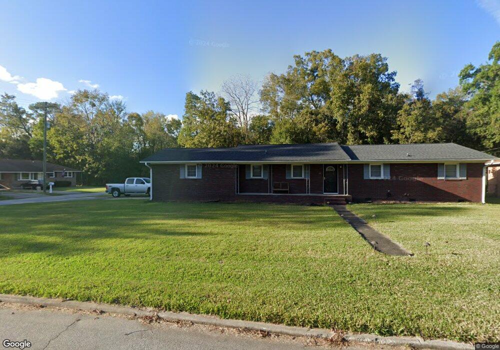
1832 Wasp St North Charleston, SC 29405
Park Circle NeighborhoodEstimated Value: $502,000 - $643,000
4
Beds
2
Baths
2,143
Sq Ft
$274/Sq Ft
Est. Value
About This Home
This home is located at 1832 Wasp St, North Charleston, SC 29405 and is currently estimated at $587,392, approximately $274 per square foot. 1832 Wasp St is a home located in Charleston County with nearby schools including North Charleston Creative Arts Elementary School, Morningside Middle, and North Charleston High.
Ownership History
Date
Name
Owned For
Owner Type
Purchase Details
Closed on
May 24, 2012
Sold by
Gadsden Rufus
Bought by
Brown Ii Michael A
Current Estimated Value
Home Financials for this Owner
Home Financials are based on the most recent Mortgage that was taken out on this home.
Original Mortgage
$90,333
Outstanding Balance
$62,499
Interest Rate
3.87%
Mortgage Type
FHA
Estimated Equity
$524,893
Purchase Details
Closed on
Apr 3, 2007
Sold by
Hutson & Son Construction Corp
Bought by
Gadsden Rufus
Purchase Details
Closed on
Nov 15, 2005
Sold by
Brisben Warren D and Brisben Barbara M
Bought by
Hutson & Son Construction Corp
Create a Home Valuation Report for This Property
The Home Valuation Report is an in-depth analysis detailing your home's value as well as a comparison with similar homes in the area
Home Values in the Area
Average Home Value in this Area
Purchase History
| Date | Buyer | Sale Price | Title Company |
|---|---|---|---|
| Brown Ii Michael A | $92,000 | -- | |
| Gadsden Rufus | $189,900 | None Available | |
| Hutson & Son Construction Corp | $112,000 | None Available |
Source: Public Records
Mortgage History
| Date | Status | Borrower | Loan Amount |
|---|---|---|---|
| Open | Brown Ii Michael A | $90,333 |
Source: Public Records
Tax History Compared to Growth
Tax History
| Year | Tax Paid | Tax Assessment Tax Assessment Total Assessment is a certain percentage of the fair market value that is determined by local assessors to be the total taxable value of land and additions on the property. | Land | Improvement |
|---|---|---|---|---|
| 2024 | $863 | $4,870 | $0 | $0 |
| 2023 | $863 | $4,870 | $0 | $0 |
| 2022 | $807 | $4,870 | $0 | $0 |
| 2021 | $836 | $4,870 | $0 | $0 |
| 2020 | $856 | $4,870 | $0 | $0 |
| 2019 | $766 | $4,230 | $0 | $0 |
| 2017 | $710 | $4,230 | $0 | $0 |
| 2016 | $688 | $4,230 | $0 | $0 |
| 2015 | $718 | $4,230 | $0 | $0 |
| 2014 | $626 | $0 | $0 | $0 |
| 2011 | -- | $0 | $0 | $0 |
Source: Public Records
Map
Nearby Homes
- 5209 Sterrett St
- 5155 Monterey St
- 5242 E Dolphin St
- 4942 W Liberty Park Cir
- 5141 E East Liberty Park Cir
- 1609 Larry St
- 1652 Larry St
- 5199 Celtic Dr
- 1918 Emden St
- 4950 Nesbitt Ave
- 5138 Delta St
- 5158 E Liberty Park Cir
- 4928 Gaynor Ave
- 2205 Russelldale Ave
- 5304 E Dolphin St
- 1507 Sumner Ave
- 2181 Eleanor Dr
- 5056 Rockingham St
- 2200 April Ave
- 2203 Eleanor Dr
- 1828 Wasp St
- 1822 Wasp St
- 5188 Sterrett St
- 5205 Sterrett St
- 1827 Wasp St
- 5201 Sterrett St
- 1816 Wasp St
- 5187 Sterrett St
- 1821 Wasp St
- 5182 Sterrett St
- 5181 Sterrett St
- 1815 Wasp St
- 1810 Wasp St
- 5178 Sterrett St
- 5177 Sterrett St
- 1809 Wasp St
- 5177 Monterey St
- 1806 Wasp St
- 5171 Sterrett St
- 5181 Monterey St