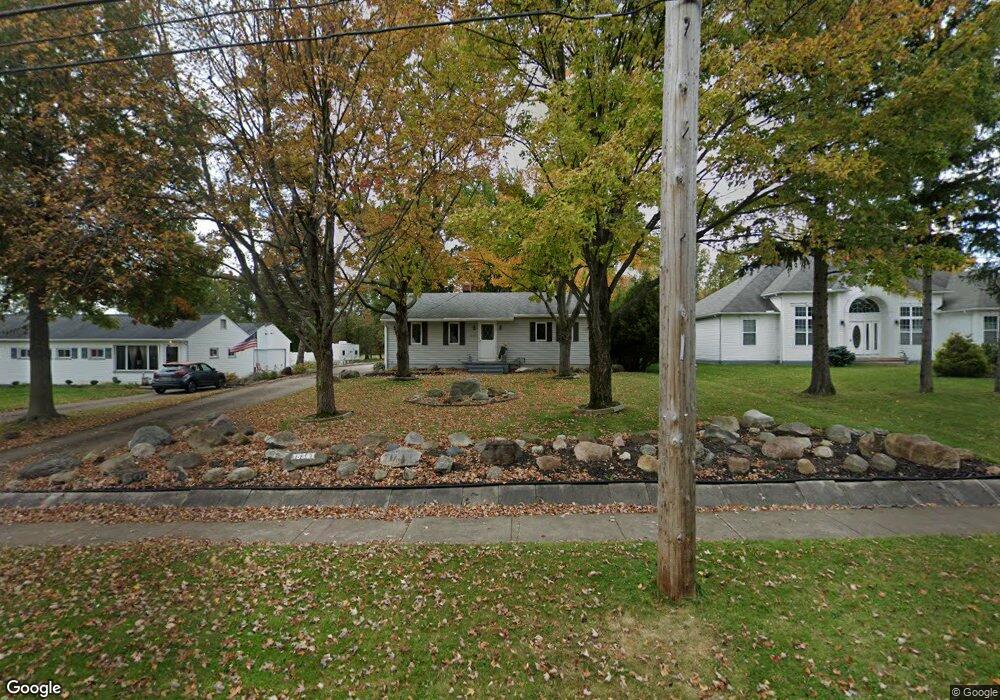
18341 Cook Ave Strongsville, OH 44136
Estimated Value: $178,000 - $268,000
2
Beds
1
Bath
960
Sq Ft
$230/Sq Ft
Est. Value
About This Home
This home is located at 18341 Cook Ave, Strongsville, OH 44136 and is currently estimated at $220,915, approximately $230 per square foot. 18341 Cook Ave is a home located in Cuyahoga County with nearby schools including Strongsville High School, Sts Joseph & John Interparochial School, and Strongsville Montessori School.
Ownership History
Date
Name
Owned For
Owner Type
Purchase Details
Closed on
Jul 16, 2021
Sold by
Holbert Darlene M
Bought by
Holbert Matthew J
Current Estimated Value
Purchase Details
Closed on
Jul 7, 2021
Sold by
Estate Of Richard Keith Page
Bought by
Page David C and Page Daniel E
Purchase Details
Closed on
Jun 2, 2021
Sold by
Page David C and Page Daniel E
Bought by
Holbert Darlene M
Purchase Details
Closed on
Mar 6, 1985
Sold by
Page Richard and Page Lorene C
Bought by
Page Richard K and Page Lorene C
Purchase Details
Closed on
Jan 1, 1975
Bought by
Page Richard and Page Lorene C
Create a Home Valuation Report for This Property
The Home Valuation Report is an in-depth analysis detailing your home's value as well as a comparison with similar homes in the area
Home Values in the Area
Average Home Value in this Area
Purchase History
| Date | Buyer | Sale Price | Title Company |
|---|---|---|---|
| Holbert Matthew J | -- | None Available | |
| Page David C | -- | None Available | |
| Holbert Darlene M | -- | None Available | |
| Page Richard K | -- | -- | |
| Page Richard | -- | -- |
Source: Public Records
Tax History Compared to Growth
Tax History
| Year | Tax Paid | Tax Assessment Tax Assessment Total Assessment is a certain percentage of the fair market value that is determined by local assessors to be the total taxable value of land and additions on the property. | Land | Improvement |
|---|---|---|---|---|
| 2024 | $2,659 | $56,630 | $13,195 | $43,435 |
| 2023 | $2,992 | $47,780 | $10,780 | $37,000 |
| 2022 | $2,970 | $47,780 | $10,780 | $37,000 |
| 2021 | $2,947 | $47,780 | $10,780 | $37,000 |
| 2020 | $2,418 | $43,440 | $9,800 | $33,640 |
| 2019 | $2,347 | $124,100 | $28,000 | $96,100 |
| 2018 | $2,049 | $43,440 | $9,800 | $33,640 |
| 2017 | $2,004 | $38,960 | $8,540 | $30,420 |
| 2016 | $1,988 | $38,960 | $8,540 | $30,420 |
| 2015 | $2,016 | $38,960 | $8,540 | $30,420 |
| 2014 | $2,016 | $38,960 | $8,540 | $30,420 |
Source: Public Records
Map
Nearby Homes
- 18630 Shurmer Rd
- 19160 Wheelers Ln
- 18162 Fawn Cir
- 17069 Partridge Dr
- 19513 Lunn Rd
- 17289 Akita Ct Unit 4508
- 14112 Settlers Way
- 19620 Porters Ln Unit 15F
- 13513 Suncrest Ct
- 14703 Lenox Dr Unit 103
- 18248 Meadow Ln
- 13099 Olympus Way
- 14826 Lenox Dr
- 13156 Olympus Way
- 20078 Trapper Trail
- 19311 Bradford Ct
- 13066 Olympus Way
- 17809 Cliffside Dr Unit 4926
- 15639 Indianhead Ln
- 17945 Cliffside Dr
- 18295 Cook Ave
- 18383 Cook Ave
- 18287 Cook Ave
- 18435 Cook Ave
- 18336 Cook Ave
- 18467 Cook Ave
- 18382 Cook Ave
- 14777 Wilmington Dr
- 18290 Cook Ave
- 14809 Wilmington Dr
- 18203 Cook Ave
- 18438 Cook Ave
- 18160 Cook Ave
- 14841 Wilmington Dr
- S/L 75 Prescott Ln
- 18513 Cook Ave
- 18158 Cook Ave
- 18325 Bishop Ln
- 18381 Bishop Ln
- 14873 Wilmington Dr