1836 Oak Pond Rd Rock Hill, SC 29730
Estimated Value: $220,000 - $278,000
--
Bed
--
Bath
752
Sq Ft
$334/Sq Ft
Est. Value
About This Home
This home is located at 1836 Oak Pond Rd, Rock Hill, SC 29730 and is currently estimated at $251,141, approximately $333 per square foot. 1836 Oak Pond Rd is a home with nearby schools including Independence Elementary School, Castle Heights Middle School, and Rock Hill High School.
Ownership History
Date
Name
Owned For
Owner Type
Purchase Details
Closed on
Aug 30, 2006
Sold by
Ruh Christopher
Bought by
Schofield David E
Current Estimated Value
Home Financials for this Owner
Home Financials are based on the most recent Mortgage that was taken out on this home.
Original Mortgage
$79,000
Outstanding Balance
$47,209
Interest Rate
6.58%
Mortgage Type
New Conventional
Estimated Equity
$203,932
Purchase Details
Closed on
Jan 15, 2003
Sold by
Clyburn Lewis M
Bought by
Ruh Chris
Purchase Details
Closed on
Nov 4, 1999
Sold by
Dawkins Benny R
Bought by
Clyburn Lewis M
Create a Home Valuation Report for This Property
The Home Valuation Report is an in-depth analysis detailing your home's value as well as a comparison with similar homes in the area
Home Values in the Area
Average Home Value in this Area
Purchase History
| Date | Buyer | Sale Price | Title Company |
|---|---|---|---|
| Schofield David E | $110,000 | None Available | |
| Ruh Chris | $80,000 | -- | |
| Clyburn Lewis M | $55,000 | -- |
Source: Public Records
Mortgage History
| Date | Status | Borrower | Loan Amount |
|---|---|---|---|
| Open | Schofield David E | $79,000 |
Source: Public Records
Tax History Compared to Growth
Tax History
| Year | Tax Paid | Tax Assessment Tax Assessment Total Assessment is a certain percentage of the fair market value that is determined by local assessors to be the total taxable value of land and additions on the property. | Land | Improvement |
|---|---|---|---|---|
| 2024 | $924 | $4,658 | $3,198 | $1,460 |
| 2023 | $941 | $4,658 | $3,198 | $1,460 |
| 2022 | $916 | $4,658 | $3,198 | $1,460 |
| 2021 | -- | $4,658 | $3,198 | $1,460 |
| 2020 | $903 | $4,658 | $0 | $0 |
| 2019 | $839 | $4,080 | $0 | $0 |
| 2018 | $827 | $4,080 | $0 | $0 |
| 2017 | $785 | $3,700 | $0 | $0 |
| 2016 | $761 | $4,080 | $0 | $0 |
| 2014 | $715 | $4,080 | $3,040 | $1,040 |
| 2013 | $715 | $4,140 | $3,040 | $1,100 |
Source: Public Records
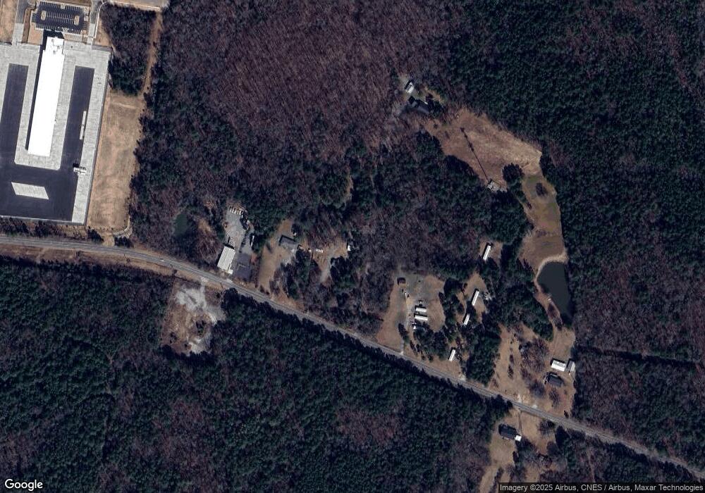
Map
Nearby Homes
- Tract 4 Porter Rd
- Tract A Porter Rd
- 2510 Firetower Rd
- 442 Lovelace Rd
- 623 Neelys Creek Rd
- 611 Pondway Downs
- 281 Schoolside Dr
- 141 Edenvale Rd
- 161 Billy Claude Cir
- 1652 Barringer Rd
- 3339 Lesslie Hwy Unit 2
- 1290 Neelys Creek Rd
- 6032 Castle Pines Dr
- 172 Neely Store Rd
- 1580 Anderson Rd S
- 1903 Manning Place
- 508 Bridgestone Ln
- 2488 Catawba Church Rd
- 505 Fencepost Ln
- 356 Emma Wood Ln
- 120 Bens Ct
- 1850 Oak Pond Rd
- 1924 Oak Pond Rd
- 281.8 Acres Oak Pond Rd
- 25 Acres Oak Pond Rd
- 00 Oak Pond Rd
- 1923 Oak Pond Rd
- 1938 Oak Pond Rd
- 1780 Oak Pond Rd
- 1945 Oak Pond Rd
- 1967 Oak Pond Rd
- 1990 Oak Pond Rd
- 13.7 Acres Oak Pond Rd
- 1283 Porter Rd
- 13.7 Ac Oak Pond Rd
- 494 Taylors Creek Rd
- 14.5 Oak Pond Rd
- 1495 Porter Rd
- 00 Porter Rd
- 00 Porter Rd Unit Lot 4