1836 State Route 131 Milford, OH 45150
Estimated Value: $297,000 - $375,407
3
Beds
2
Baths
1,700
Sq Ft
$199/Sq Ft
Est. Value
About This Home
This home is located at 1836 State Route 131, Milford, OH 45150 and is currently estimated at $337,602, approximately $198 per square foot. 1836 State Route 131 is a home located in Clermont County with nearby schools including Milford Senior High School, St. Mark's Lutheran School, and St. Andrew - St. Elizabeth Ann Seton School.
Ownership History
Date
Name
Owned For
Owner Type
Purchase Details
Closed on
Jul 31, 2006
Sold by
Trester Shirley
Bought by
Hutzel Bernard F and Hutzel Susan A
Current Estimated Value
Home Financials for this Owner
Home Financials are based on the most recent Mortgage that was taken out on this home.
Original Mortgage
$136,000
Outstanding Balance
$81,918
Interest Rate
6.82%
Mortgage Type
Purchase Money Mortgage
Estimated Equity
$255,684
Create a Home Valuation Report for This Property
The Home Valuation Report is an in-depth analysis detailing your home's value as well as a comparison with similar homes in the area
Home Values in the Area
Average Home Value in this Area
Purchase History
| Date | Buyer | Sale Price | Title Company |
|---|---|---|---|
| Hutzel Bernard F | -- | Lawyers Title Of Cincinnati |
Source: Public Records
Mortgage History
| Date | Status | Borrower | Loan Amount |
|---|---|---|---|
| Open | Hutzel Bernard F | $136,000 |
Source: Public Records
Tax History Compared to Growth
Tax History
| Year | Tax Paid | Tax Assessment Tax Assessment Total Assessment is a certain percentage of the fair market value that is determined by local assessors to be the total taxable value of land and additions on the property. | Land | Improvement |
|---|---|---|---|---|
| 2024 | $3,553 | $100,040 | $23,980 | $76,060 |
| 2023 | $3,580 | $100,040 | $23,980 | $76,060 |
| 2022 | $3,138 | $82,430 | $19,570 | $62,860 |
| 2021 | $2,955 | $82,430 | $19,570 | $62,860 |
| 2020 | $2,779 | $78,200 | $19,570 | $58,630 |
| 2019 | $2,841 | $78,610 | $23,240 | $55,370 |
| 2018 | $2,842 | $78,610 | $23,240 | $55,370 |
| 2017 | $2,374 | $78,610 | $23,240 | $55,370 |
| 2016 | $2,374 | $63,910 | $18,900 | $45,010 |
| 2015 | $2,100 | $63,910 | $18,900 | $45,010 |
| 2014 | $2,100 | $63,910 | $18,900 | $45,010 |
| 2013 | $1,633 | $49,700 | $19,950 | $29,750 |
Source: Public Records
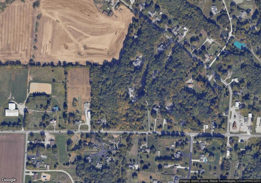
Map
Nearby Homes
- 1847 Ohio 131
- 1860 Grove Park Dr
- Hampton Plan at Grove Park
- Cooke Plan at Grove Park
- Windsor II Plan at Grove Park
- Barrett Plan at Grove Park
- Morrison Plan at Grove Park
- Serenity Plan at Grove Park
- Nicholas Plan at Grove Park
- 1897 Grove Park Dr
- Ellison Plan at Grove Park
- Fairview Plan at Grove Park
- Inglewood Plan at Grove Park
- Dillon Plan at Grove Park
- Dawson Plan at Grove Park
- Faulkner Plan at Grove Park
- Cheswicke Plan at Grove Park
- Ainsley II Plan at Grove Park
- Clayton Plan at Grove Park
- Wallace Plan at Grove Park
- 1838 State Route 131
- 5767 Deerfield Rd
- 1840 State Route 131
- 1810 State Route 131
- 1810 State Route 131
- 1804 State Route 131
- 1848 State Route 131
- 1848 St Rt 131
- 1809 State Route 131
- 5761 Deerfield Rd
- 1847 State Route 131
- 5765 Deerfield Rd
- 1817 State Route 131
- 5771 Deerfield Rd
- 1850 State Route 131
- 1809 St Rt 131
- 1815 State Route 131
- 1815 St Rt 131
- 5699 Chestnut View Ln
- 1825 State Route 131