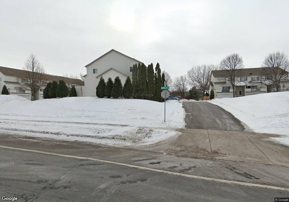
1837 E 122nd St Burnsville, MN 55337
Estimated Value: $243,000 - $250,362
2
Beds
2
Baths
1,008
Sq Ft
$243/Sq Ft
Est. Value
About This Home
This home is located at 1837 E 122nd St, Burnsville, MN 55337 and is currently estimated at $244,841, approximately $242 per square foot. 1837 E 122nd St is a home located in Dakota County with nearby schools including William Byrne Elementary School, Burnsville High School, and Gateway STEM Academy.
Ownership History
Date
Name
Owned For
Owner Type
Purchase Details
Closed on
Mar 28, 2016
Sold by
Brien Michael P O
Bought by
Hehir Gregory P
Current Estimated Value
Home Financials for this Owner
Home Financials are based on the most recent Mortgage that was taken out on this home.
Original Mortgage
$5,500
Outstanding Balance
$4,361
Interest Rate
3.62%
Mortgage Type
Negative Amortization
Estimated Equity
$240,480
Purchase Details
Closed on
Feb 23, 2011
Sold by
Federal Home Loan Mortgage Corporation
Bought by
Obrien Michael P
Purchase Details
Closed on
Aug 29, 2003
Sold by
Calderhead Scott A and Calderhead Nicole
Bought by
Jacobsen Michael J
Purchase Details
Closed on
Jun 27, 2001
Sold by
Skonseng Cheryl M and Skonseng Kent
Bought by
Calderhead Scott A
Purchase Details
Closed on
Jul 10, 1996
Sold by
Dean R Johnson Const Inc
Bought by
Mahowald Cheryl M and Mahowald Harold L
Create a Home Valuation Report for This Property
The Home Valuation Report is an in-depth analysis detailing your home's value as well as a comparison with similar homes in the area
Home Values in the Area
Average Home Value in this Area
Purchase History
| Date | Buyer | Sale Price | Title Company |
|---|---|---|---|
| Hehir Gregory P | $130,000 | Dca Title | |
| Obrien Michael P | $64,900 | -- | |
| Jacobsen Michael J | $156,900 | -- | |
| Calderhead Scott A | $135,000 | -- | |
| Mahowald Cheryl M | $86,250 | -- |
Source: Public Records
Mortgage History
| Date | Status | Borrower | Loan Amount |
|---|---|---|---|
| Open | Hehir Gregory P | $5,500 | |
| Open | Hehir Gregory P | $127,645 |
Source: Public Records
Tax History Compared to Growth
Tax History
| Year | Tax Paid | Tax Assessment Tax Assessment Total Assessment is a certain percentage of the fair market value that is determined by local assessors to be the total taxable value of land and additions on the property. | Land | Improvement |
|---|---|---|---|---|
| 2024 | $1,994 | $211,700 | $42,300 | $169,400 |
| 2023 | $1,994 | $204,200 | $42,400 | $161,800 |
| 2022 | $1,630 | $199,000 | $42,300 | $156,700 |
| 2021 | $1,788 | $169,400 | $36,800 | $132,600 |
| 2020 | $1,652 | $174,700 | $35,000 | $139,700 |
| 2019 | $1,548 | $158,400 | $33,400 | $125,000 |
| 2018 | $1,386 | $144,000 | $30,900 | $113,100 |
| 2017 | $1,250 | $128,300 | $28,600 | $99,700 |
| 2016 | $1,347 | $117,500 | $27,200 | $90,300 |
| 2015 | $1,292 | $93,996 | $20,610 | $73,386 |
| 2014 | -- | $93,778 | $19,349 | $74,429 |
| 2013 | -- | $79,281 | $16,390 | $62,891 |
Source: Public Records
Map
Nearby Homes
- 2007 E 122nd St Unit B15
- 2011 E 122nd St Unit D24
- 2005 E 122nd St Unit A7
- 2005 E 122nd St Unit A14
- 2005 E 122nd St Unit A23
- 12316 Michelle Cir
- 12232 Oak Leaf Cir
- 1609 Riverwood Dr
- 12284 River Valley Dr
- 12251 River Valley Dr
- 12420 Chippewa Ln
- 1853 Riverwood Dr Unit 4
- 122 Birnamwood Dr
- 1800 Riverwood Dr Unit 110
- 1800 Riverwood Dr Unit 323
- 2300 Villaburne Ct W
- 1115 E Travelers Trail
- 37 Birnamwood Dr
- 2400 E 125th St
- 2200 Horizon Rd
- 1835 E 122nd St
- 1839 E 122nd St
- 1847 E 122nd St
- 1849 E 122nd St
- 1845 E 122nd St
- 1833 E 122nd St
- 1841 E 122nd St
- 1843 E 122nd St
- 1851 E 122nd St
- 1825 E 122nd St
- 1831 E 122nd St
- 1823 E 122nd St
- 1829 1829 122nd-Street-e
- 1829 E 122nd St
- 1829 122nd St E
- 1821 E 122nd St
- 1855 E 122nd St
- 1857 E 122nd St
- 1857 122nd St E
- 1859 E 122nd St