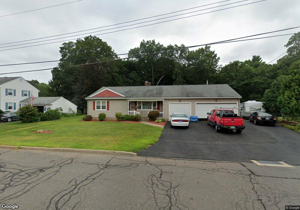
184 Brent Rd Manchester, CT 06042
Waddell NeighborhoodEstimated Value: $325,000 - $347,000
3
Beds
2
Baths
1,332
Sq Ft
$253/Sq Ft
Est. Value
About This Home
This home is located at 184 Brent Rd, Manchester, CT 06042 and is currently estimated at $336,709, approximately $252 per square foot. 184 Brent Rd is a home located in Hartford County with nearby schools including Illing Middle School, Elisabeth M. Bennet Academy, and Manchester High School.
Ownership History
Date
Name
Owned For
Owner Type
Purchase Details
Closed on
May 22, 1998
Sold by
Greer Kevin T
Bought by
Gonyaw Gregg and Gonyaw Lisa A
Current Estimated Value
Home Financials for this Owner
Home Financials are based on the most recent Mortgage that was taken out on this home.
Original Mortgage
$111,600
Interest Rate
7.03%
Mortgage Type
Unknown
Create a Home Valuation Report for This Property
The Home Valuation Report is an in-depth analysis detailing your home's value as well as a comparison with similar homes in the area
Home Values in the Area
Average Home Value in this Area
Purchase History
| Date | Buyer | Sale Price | Title Company |
|---|---|---|---|
| Gonyaw Gregg | $124,000 | -- | |
| Gonyaw Gregg | $124,000 | -- |
Source: Public Records
Mortgage History
| Date | Status | Borrower | Loan Amount |
|---|---|---|---|
| Closed | Gonyaw Gregg | $40,000 | |
| Closed | Gonyaw Gregg | $130,000 | |
| Closed | Gonyaw Gregg | $111,600 |
Source: Public Records
Tax History Compared to Growth
Tax History
| Year | Tax Paid | Tax Assessment Tax Assessment Total Assessment is a certain percentage of the fair market value that is determined by local assessors to be the total taxable value of land and additions on the property. | Land | Improvement |
|---|---|---|---|---|
| 2025 | $6,487 | $162,900 | $39,300 | $123,600 |
| 2024 | $6,301 | $162,900 | $39,300 | $123,600 |
| 2023 | $6,060 | $162,900 | $39,300 | $123,600 |
| 2022 | $5,941 | $162,900 | $39,300 | $123,600 |
| 2021 | $5,011 | $137,200 | $33,700 | $103,500 |
| 2020 | $5,011 | $137,200 | $33,700 | $103,500 |
| 2019 | $5,011 | $137,200 | $33,700 | $103,500 |
| 2018 | $4,913 | $137,200 | $33,700 | $103,500 |
| 2017 | $4,781 | $137,200 | $33,700 | $103,500 |
| 2016 | $4,795 | $137,600 | $42,800 | $94,800 |
| 2015 | $4,772 | $137,600 | $42,800 | $94,800 |
| 2014 | $4,678 | $137,600 | $42,800 | $94,800 |
Source: Public Records
Map
Nearby Homes
- 12 Butler Rd
- 14 Evergreen Rd
- 708 Hilliard St
- 47 Crestwood Dr
- 424 Middle Turnpike W Unit 5
- 60 Deerfield Dr
- 9 Deepwood Dr
- 113 Deepwood Dr
- 43 Salem Rd
- 565 Adams St
- 149 Deepwood Dr
- 28 Devon Dr
- 21 Saint John St
- 15 Saint John St
- 41 Windemere St
- 633 Center St Unit E
- 633 Center St Unit A
- 126 Falknor Dr
- 14 Saint Lawrence St
- 600 Center St