184 Maple Ln Bryson City, NC 28713
Estimated Value: $339,770 - $460,000
2
Beds
2
Baths
1,232
Sq Ft
$341/Sq Ft
Est. Value
About This Home
This home is located at 184 Maple Ln, Bryson City, NC 28713 and is currently estimated at $419,943, approximately $340 per square foot. 184 Maple Ln is a home located in Swain County with nearby schools including Swain County Middle School, Swain County West Elementary School, and Swain County High School.
Ownership History
Date
Name
Owned For
Owner Type
Purchase Details
Closed on
Aug 1, 2012
Sold by
Ellis Jonathan W and Ellis Judy
Bought by
Sutton Darryl L and Sutton Sheila D
Current Estimated Value
Home Financials for this Owner
Home Financials are based on the most recent Mortgage that was taken out on this home.
Original Mortgage
$152,000
Outstanding Balance
$104,852
Interest Rate
3.58%
Mortgage Type
New Conventional
Estimated Equity
$315,091
Purchase Details
Closed on
Nov 14, 2008
Sold by
Morris Vera G
Bought by
Ellis Travis
Home Financials for this Owner
Home Financials are based on the most recent Mortgage that was taken out on this home.
Original Mortgage
$123,950
Interest Rate
6.11%
Mortgage Type
New Conventional
Create a Home Valuation Report for This Property
The Home Valuation Report is an in-depth analysis detailing your home's value as well as a comparison with similar homes in the area
Home Values in the Area
Average Home Value in this Area
Purchase History
| Date | Buyer | Sale Price | Title Company |
|---|---|---|---|
| Sutton Darryl L | $151,000 | None Available | |
| Ellis Travis | $155,000 | -- |
Source: Public Records
Mortgage History
| Date | Status | Borrower | Loan Amount |
|---|---|---|---|
| Open | Sutton Darryl L | $152,000 | |
| Previous Owner | Ellis Travis | $123,950 |
Source: Public Records
Tax History Compared to Growth
Tax History
| Year | Tax Paid | Tax Assessment Tax Assessment Total Assessment is a certain percentage of the fair market value that is determined by local assessors to be the total taxable value of land and additions on the property. | Land | Improvement |
|---|---|---|---|---|
| 2025 | $915 | $195,110 | $78,470 | $116,640 |
| 2024 | $915 | $195,110 | $78,470 | $116,640 |
| 2023 | $817 | $195,110 | $78,470 | $116,640 |
| 2022 | $817 | $195,110 | $78,470 | $116,640 |
| 2021 | $817 | $195,110 | $0 | $0 |
| 2020 | $610 | $148,700 | $46,560 | $102,140 |
| 2019 | $610 | $148,700 | $46,560 | $102,140 |
| 2018 | $610 | $148,700 | $46,560 | $102,140 |
| 2017 | $610 | $148,700 | $46,560 | $102,140 |
| 2016 | $610 | $148,700 | $46,560 | $102,140 |
| 2015 | -- | $148,700 | $46,560 | $102,140 |
| 2014 | -- | $148,700 | $46,560 | $102,140 |
Source: Public Records
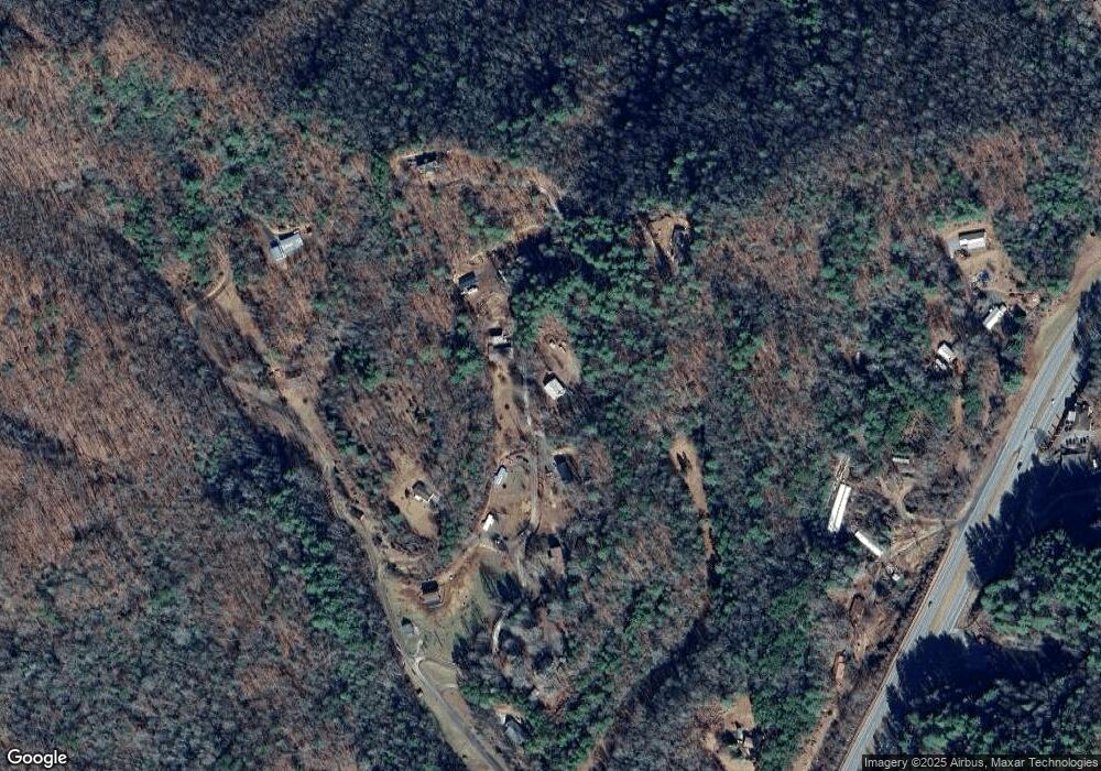
Map
Nearby Homes
- 65 Cunningham Rd
- 166 Almond School Rd
- 0 Hwy 28 S Unit 26040479
- 4160 U S 19
- 1955 Sam Davis Rd
- 9999 Mountainside Dr
- Lot 64 Bobcat Trail
- 3.8 AC Bobcat Trail
- 999 Mountainside Dr
- Lot 72 Bobcat
- 197 Songcatcher Ln
- 73 Robinson Gap Ln
- 315 Big Rockys Rd
- 3.32 AC Mountainside Dr
- 210 Oak Hill Dr
- 67 Trent Field Rd
- 00 Grassy Branch Rd
- 10 Ridge Place
- 1400 Alarka Rd
- 135 W Skycove Cir
- 184 Maple Ln
- 221 Maple Ln
- 180 Maple Ln
- 104 Maple Ln
- 400 Byrd Rd
- 400 Byrd Rd
- 350 Maple Ln
- 15 Maple Ln
- 0 Byrd Rd
- 292 Byrd Rd
- 90 Cunningham Rd
- 18 Cunningham Rd
- 16 Cunningham Rd
- 4675 Hwy 74 W
- #14 Mystic River Way Unit 14
- 304 Almond School Rd
- 4927 Highway 19 W
- 174 Lauada Cemetery Rd
- 102 Byrd Rd
- 300 Almond School Rd