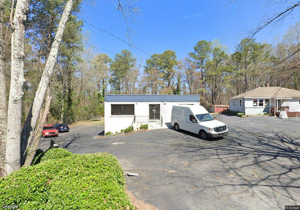
1840 Anderson Mill Rd Austell, GA 30106
Estimated Value: $698,859
--
Bed
3
Baths
4,000
Sq Ft
$175/Sq Ft
Est. Value
About This Home
This home is located at 1840 Anderson Mill Rd, Austell, GA 30106 and is currently estimated at $698,859, approximately $174 per square foot. 1840 Anderson Mill Rd is a home located in Cobb County with nearby schools including Deerwood Elementary School, Clarkdale Elementary School, and Garrett Middle School.
Ownership History
Date
Name
Owned For
Owner Type
Purchase Details
Closed on
Jan 17, 2011
Sold by
Clinic Awareness Inc
Bought by
Pham Reo T
Current Estimated Value
Purchase Details
Closed on
Apr 1, 1997
Sold by
Joe Jackson and Jackson Andrew B
Bought by
Clinic Awareness Inc
Create a Home Valuation Report for This Property
The Home Valuation Report is an in-depth analysis detailing your home's value as well as a comparison with similar homes in the area
Home Values in the Area
Average Home Value in this Area
Purchase History
| Date | Buyer | Sale Price | Title Company |
|---|---|---|---|
| Pham Reo T | $250,000 | -- | |
| Clinic Awareness Inc | $113,000 | -- |
Source: Public Records
Mortgage History
| Date | Status | Borrower | Loan Amount |
|---|---|---|---|
| Closed | Clinic Awareness Inc | -- |
Source: Public Records
Tax History Compared to Growth
Tax History
| Year | Tax Paid | Tax Assessment Tax Assessment Total Assessment is a certain percentage of the fair market value that is determined by local assessors to be the total taxable value of land and additions on the property. | Land | Improvement |
|---|---|---|---|---|
| 2025 | $4,051 | $134,440 | $57,772 | $76,668 |
| 2024 | $4,053 | $134,440 | $57,772 | $76,668 |
| 2023 | $4,050 | $134,320 | $57,772 | $76,548 |
| 2022 | $2,952 | $97,256 | $38,136 | $59,120 |
| 2021 | $2,942 | $96,936 | $38,136 | $58,800 |
| 2020 | $2,942 | $96,936 | $38,136 | $58,800 |
| 2019 | $2,851 | $93,936 | $38,136 | $55,800 |
| 2018 | $2,851 | $93,936 | $38,136 | $55,800 |
| 2017 | $2,701 | $93,936 | $38,136 | $55,800 |
| 2016 | $2,413 | $83,940 | $31,780 | $52,160 |
| 2015 | $2,473 | $83,940 | $31,780 | $52,160 |
| 2014 | $2,440 | $82,140 | $31,780 | $50,360 |
Source: Public Records
Map
Nearby Homes
- 4349 Kousa Rd Unit 4
- 2013 Chesley Dr
- 4470 Austell Rd
- 2081 Lenoa Ln
- 2083 Lenoa Ln
- 2085 Lenoa Ln
- 1984 Padgett Dr
- 2034 Drennon Ave
- 1791 Fairview Dr SW
- 4192 Rhinehart Dr
- 4420 Pink Rose Ct
- 2072 Mcduffie Rd
- 4582 Austell Rd
- 4287 Keats Ct
- 2110 Plum Ln
- 4200 Citizen Cir Unit 3
- 2300 Anderson Mill Rd
- 3755 Mulkey Cir SW
- 1850 Anderson Mill Rd
- 1870 Anderson Mill Rd
- 4204 Weavers White Ln Unit 17
- 4204 Weavers White Ln Unit 71
- 1865 Anderson Mill Rd
- 4206 Weavers White Ln
- 4206 Weavers White Ln Unit 70
- 4208 Weavers White Ln Unit 17
- 4208 Weavers White Ln Unit 69
- 4208 Weavers White Ln Unit 4208
- 1900 Anderson Mill Rd
- 4219 Weavers White Ln
- 4210 Weavers White Ln Unit 17
- 4210 Weavers White Ln Unit 68
- 4221 Weavers White Ln Unit 73
- 4223 Weavers White Ln Unit 18
- 4223 Weavers White Ln Unit 74
- 4223 Weavers White Ln Unit 10
- 4317 Kousa Rd Unit 4317
- 4317 Kousa Rd Unit 1