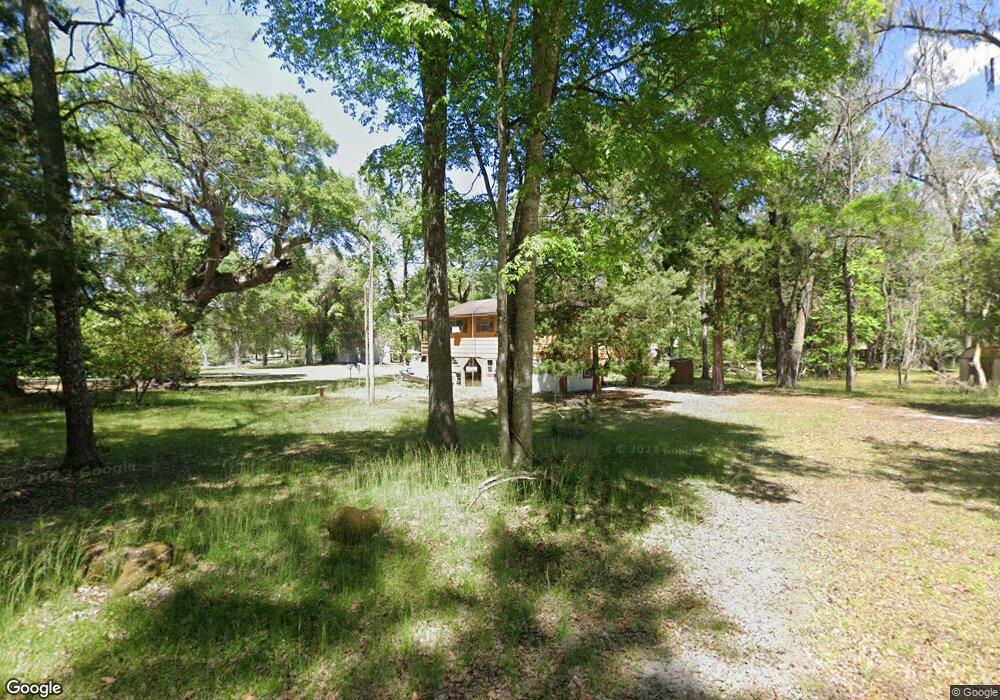
1840 NE 127th Ln Branford, FL 32008
Estimated Value: $112,000 - $320,000
2
Beds
1
Bath
864
Sq Ft
$214/Sq Ft
Est. Value
About This Home
This home is located at 1840 NE 127th Ln, Branford, FL 32008 and is currently estimated at $185,232, approximately $214 per square foot. 1840 NE 127th Ln is a home located in Gilchrist County.
Ownership History
Date
Name
Owned For
Owner Type
Purchase Details
Closed on
Sep 12, 2018
Sold by
Norris Linda J and Rassel Linda J
Bought by
Overstreet Danny Ralph and Overstreet Tanya Lesia
Current Estimated Value
Purchase Details
Closed on
Sep 12, 2017
Sold by
Norris Linda J and Rassel Linda J
Bought by
Overstreet Danny Ralph and Overstreet Tanya Lesia
Purchase Details
Closed on
Aug 7, 2013
Sold by
Norris Linda J
Bought by
Norri Linda J and Rassel Linda J
Create a Home Valuation Report for This Property
The Home Valuation Report is an in-depth analysis detailing your home's value as well as a comparison with similar homes in the area
Home Values in the Area
Average Home Value in this Area
Purchase History
| Date | Buyer | Sale Price | Title Company |
|---|---|---|---|
| Overstreet Danny Ralph | $77,000 | Dba Gilehrist Title Services | |
| Overstreet Danny Ralph | $77,000 | Security Title Services Inc | |
| Norri Linda J | -- | None Available |
Source: Public Records
Tax History Compared to Growth
Tax History
| Year | Tax Paid | Tax Assessment Tax Assessment Total Assessment is a certain percentage of the fair market value that is determined by local assessors to be the total taxable value of land and additions on the property. | Land | Improvement |
|---|---|---|---|---|
| 2025 | $1,962 | $119,609 | $15,000 | $104,609 |
| 2024 | $1,618 | $98,639 | $16,800 | $81,839 |
| 2023 | $1,618 | $86,983 | $0 | $0 |
| 2022 | $1,493 | $87,551 | $14,700 | $72,851 |
| 2021 | $1,370 | $75,516 | $13,200 | $62,316 |
| 2020 | $1,261 | $65,351 | $15,475 | $49,876 |
| 2019 | $1,228 | $62,576 | $15,475 | $47,101 |
| 2018 | $1,160 | $57,850 | $15,475 | $42,375 |
| 2017 | $1,156 | $56,886 | $0 | $0 |
| 2016 | $311 | $43,436 | $0 | $0 |
| 2015 | $315 | $43,134 | $0 | $0 |
| 2013 | -- | $42,160 | $0 | $0 |
Source: Public Records
Map
Nearby Homes
- 1759 NE 127th St
- 0 NE 127th St
- 12890 NE 120 Loop
- 0 SW Bumble St Unit 128719
- 158 SW Bumble St
- lot 36 SW Bumble St
- 498 SW Manatee Terrace
- 0 NE 120th Loop
- TBD SW Reno Way
- 960 SW Iowa Dr
- 1521 SW Central Terrace
- TBD SW Boston Terrace
- 843 SW Illinois St
- 00 SW Newark Dr Unit 3
- 0 SW Newark Dr Unit MFRR4908315
- 0 SW Newark Dr Unit MFRR4908314
- 1745 SW Newark Dr
- 1965 SW Newark Dr
- TBD SW Santa fe Dr
- 135 SW Virginia Way
- 1890 NE 127th Ln
- 1869 NE 127th Ln
- 1879 NE 128th Place
- 1880 NE 128th Place
- 1819 NE 127th Ln
- 1850 NE 128th Place
- 1850 NE 127th St
- 1930 NE 127th Ln
- 1790 NE 127th St
- 1940 NE 127th St
- 1759 NE 127th Ln
- 1949 NE 127th Ln
- 1839 NE 127th St
- 1799 NE 127th St
- 1910 NE 128th Place
- 1909 NE 127th St
- 1920 NE 128th Place
- 1930 NE 128th Place
- 1979 NE 127th Ln
- 1949 NE 127th St