18400 1st Ave E Atwater, MN 56209
Estimated Value: $293,000 - $1,368,764
--
Bed
1
Bath
2,376
Sq Ft
$350/Sq Ft
Est. Value
About This Home
This home is located at 18400 1st Ave E, Atwater, MN 56209 and is currently estimated at $830,882, approximately $349 per square foot. 18400 1st Ave E is a home with nearby schools including ACGC Elementary School, ACGC Elementary Grades 5 & 6, and A.C.G.C. Secondary.
Ownership History
Date
Name
Owned For
Owner Type
Purchase Details
Closed on
Mar 30, 2016
Sold by
Anderson Margaret E and Anderson Michael
Bought by
Ma Land Co I Llc
Current Estimated Value
Purchase Details
Closed on
Mar 9, 2006
Sold by
Almgren Ruby B and Almgren Ruby
Bought by
Anderson Dale A and Anderson Margaret Ellen
Home Financials for this Owner
Home Financials are based on the most recent Mortgage that was taken out on this home.
Original Mortgage
$372,000
Interest Rate
6.37%
Mortgage Type
Purchase Money Mortgage
Create a Home Valuation Report for This Property
The Home Valuation Report is an in-depth analysis detailing your home's value as well as a comparison with similar homes in the area
Home Values in the Area
Average Home Value in this Area
Purchase History
| Date | Buyer | Sale Price | Title Company |
|---|---|---|---|
| Ma Land Co I Llc | -- | -- | |
| Anderson Dale A | $210,000 | None Available |
Source: Public Records
Mortgage History
| Date | Status | Borrower | Loan Amount |
|---|---|---|---|
| Previous Owner | Anderson Dale A | $372,000 |
Source: Public Records
Tax History Compared to Growth
Tax History
| Year | Tax Paid | Tax Assessment Tax Assessment Total Assessment is a certain percentage of the fair market value that is determined by local assessors to be the total taxable value of land and additions on the property. | Land | Improvement |
|---|---|---|---|---|
| 2025 | $6,726 | $1,174,800 | $637,400 | $537,400 |
| 2024 | $6,328 | $1,148,600 | $616,000 | $532,600 |
| 2023 | $6,102 | $1,100,100 | $567,500 | $532,600 |
| 2022 | $3,498 | $957,300 | $477,600 | $479,700 |
| 2021 | $4,496 | $414,700 | $407,200 | $7,500 |
| 2020 | $2,136 | $495,300 | $407,100 | $88,200 |
| 2019 | $2,098 | $506,400 | $421,300 | $85,100 |
| 2018 | $1,956 | $503,400 | $421,300 | $82,100 |
| 2017 | $1,956 | $518,700 | $437,100 | $81,600 |
| 2016 | $2,088 | $2,835 | $0 | $0 |
| 2015 | -- | $0 | $0 | $0 |
| 2014 | -- | $0 | $0 | $0 |
Source: Public Records
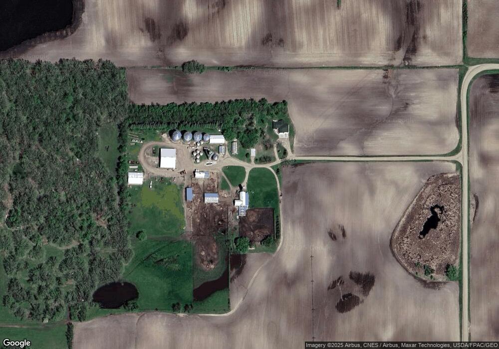
Map
Nearby Homes
- 402 4th St S
- 603 Main St S
- 202 Texas Ln
- 109 Atlantic Ave
- 205 Pleasant Ave W
- 503 7th St N
- 309 2nd St N
- 401 2nd St N
- 410 2nd St N
- 404 Garfield St N
- #### 15th Ave SE
- 5362 Lake Elizabeth Ln
- 12505 15th Ave SE
- 4645 Diamond Ln
- 4635 Diamond Ln
- 5762 165th St NE
- 5980 165th St NE
- 6551 164th St SE
- 6757 164th St SE
- 14974 49th Ave NE
- 17421 1st Ave E
- 347 187th St NE
- 464 187th St NE
- XXX Hwy #12
- 399 187th St NE
- 405 187th St NE
- 467 187th St NE
- 19001 1st Ave E
- - Lot 3 Blk 1 Diamond Sh Rd
- 204 & 206 E Atlantic Ave
- - Lot 3 Blk 1 Diamond Sh-Road-
- 408 408 4th-Street-
- 130XX 60th St SE
- 0 Kandiyohi Cty 4 Unit 3576325
- xxx 10 St
- 6138 & 617 NE 165 St
- 0 Kandiyohi Cty 4 Unit 5171148
- 605 Montana Ave W
- 602 6th St S
- 605 6th St S