18406 Laine Rd Ontonagon, MI 49953
Estimated Value: $137,602 - $197,000
3
Beds
2
Baths
1,008
Sq Ft
$166/Sq Ft
Est. Value
About This Home
This home is located at 18406 Laine Rd, Ontonagon, MI 49953 and is currently estimated at $167,301, approximately $165 per square foot. 18406 Laine Rd is a home located in Ontonagon County with nearby schools including Ontonagon Area Junior/Senior High School.
Ownership History
Date
Name
Owned For
Owner Type
Purchase Details
Closed on
Oct 15, 2021
Sold by
Brushwood William E
Bought by
Platzke Ryan
Current Estimated Value
Purchase Details
Closed on
Dec 6, 2013
Sold by
Nimlos Carol M A and Nimlos K
Bought by
Elric Trust Brushwood William E
Purchase Details
Closed on
Aug 17, 2010
Sold by
Juntunen Sulo W and Nimlos Carol M
Bought by
Brushwood William E and Brushwood Amy J
Purchase Details
Closed on
Sep 12, 2007
Sold by
Juntunen Sulo W
Bought by
Juntunen Sulo W and Nimlos Carol M
Purchase Details
Closed on
Aug 14, 2007
Sold by
Juntunen Sulo W
Bought by
Juntunen Sulo W and Nimlos Carol
Create a Home Valuation Report for This Property
The Home Valuation Report is an in-depth analysis detailing your home's value as well as a comparison with similar homes in the area
Home Values in the Area
Average Home Value in this Area
Purchase History
| Date | Buyer | Sale Price | Title Company |
|---|---|---|---|
| Platzke Ryan | $60,000 | -- | |
| Elric Trust Brushwood William E | $42,000 | -- | |
| Brushwood William E | $42,000 | -- | |
| Juntunen Sulo W | -- | -- | |
| Juntunen Sulo W | -- | -- |
Source: Public Records
Tax History Compared to Growth
Tax History
| Year | Tax Paid | Tax Assessment Tax Assessment Total Assessment is a certain percentage of the fair market value that is determined by local assessors to be the total taxable value of land and additions on the property. | Land | Improvement |
|---|---|---|---|---|
| 2025 | $1,773 | $49,150 | $0 | $0 |
| 2024 | $1,314 | $45,350 | $0 | $0 |
| 2023 | $1,252 | $35,350 | $0 | $0 |
| 2022 | $1,192 | $32,750 | $0 | $0 |
| 2021 | $1,466 | $31,100 | $0 | $0 |
| 2020 | $1,427 | $30,000 | $0 | $0 |
| 2019 | $1,415 | $29,150 | $0 | $0 |
| 2018 | -- | $28,050 | $0 | $0 |
| 2017 | -- | $28,250 | $0 | $0 |
| 2016 | -- | $28,200 | $0 | $0 |
| 2015 | -- | $27,950 | $0 | $0 |
| 2014 | -- | $27,950 | $0 | $0 |
| 2013 | -- | $28,100 | $0 | $0 |
Source: Public Records
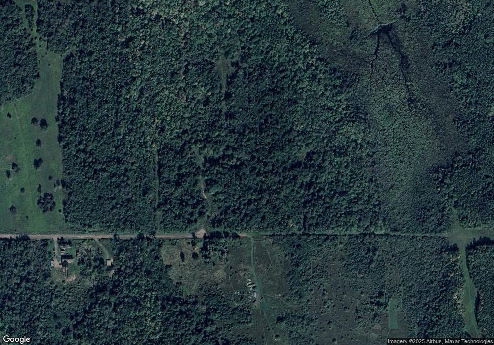
Map
Nearby Homes
- 32432 U S 45
- TBD2 Cedar Balsam Station
- TBD Forest Road 690 Camp
- 34770 Calumet Rd
- 806 Rockland Rd
- 610 S 4th St
- 217 Mulock St
- 501 Minnesota Ave
- 505 Pennsylvania Ave
- 110 E River St
- Lot 13 Michigan 64
- 602 W 5th St
- 619 N 7th St
- 18001 Lakeshore Dr
- TBD1948 Victoria Dam Rd
- TBD Victoria Norwich Cut Across Rd
- 18418 Lakeshore Dr
- TBD102 Firesteel Rd
- TBDE10 Firesteel Rd
- TBDC20 Firesteel Rd
- 18337 Laine Rd
- 18550 Laine Rd
- 32668 Us Highway 45
- 32668 Us Highway 45
- 32429 Us Highway 45
- 32780 Us Highway 45
- 32060 Us Highway 45
- 32060 Us Highway 45
- 32155 Us Highway 45
- 32859 Us Highway 45
- 32959 Us Highway 45
- 33296 Woodspur Rd
- 19095 Mountain View Rd
- 131 Mountain View Rd
- 33668 Us 45
- 19135 Mountain View Rd
- 31751 Maunus Rd
- 19033 Immo Rd
- 31908 Maunus Rd
- 19253 Mountain View Rd