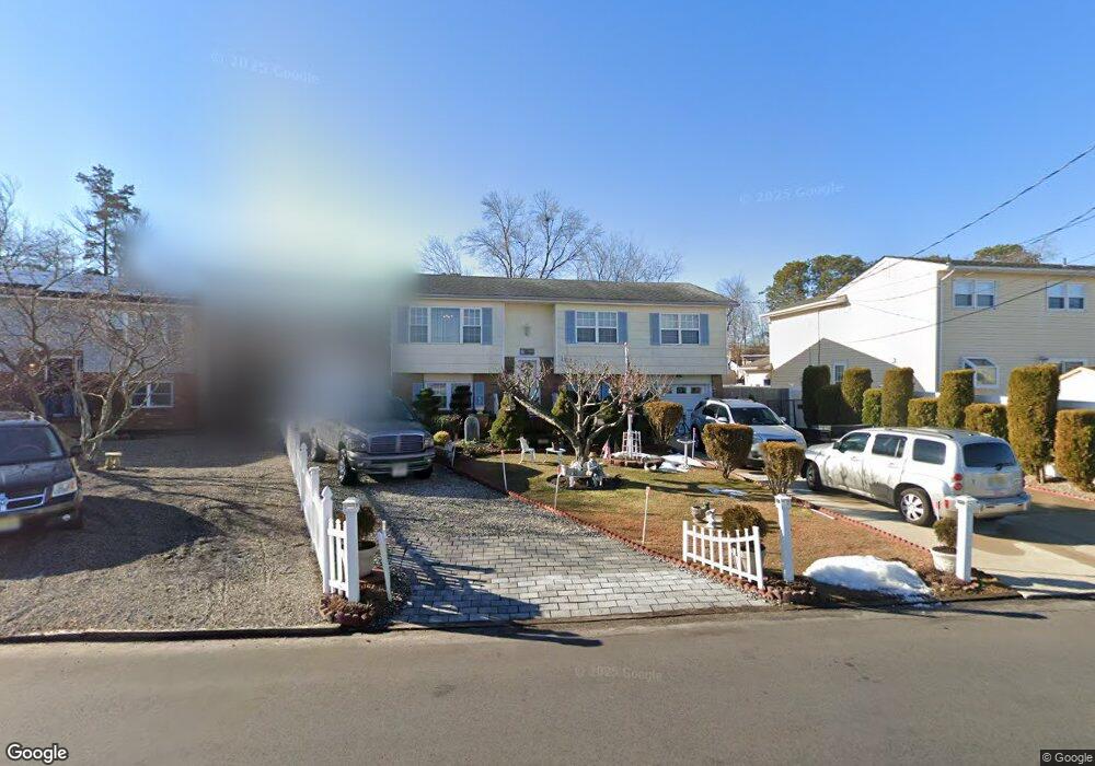
1841 Merrimac Dr Toms River, NJ 08753
Estimated Value: $493,356 - $650,000
3
Beds
2
Baths
2,088
Sq Ft
$265/Sq Ft
Est. Value
About This Home
This home is located at 1841 Merrimac Dr, Toms River, NJ 08753 and is currently estimated at $553,839, approximately $265 per square foot. 1841 Merrimac Dr is a home located in Ocean County.
Ownership History
Date
Name
Owned For
Owner Type
Purchase Details
Closed on
Nov 15, 1999
Sold by
Mcconville James and Mcconville Sandra
Bought by
Brudnicki Pierre and Brudnicki Jeanette
Current Estimated Value
Home Financials for this Owner
Home Financials are based on the most recent Mortgage that was taken out on this home.
Original Mortgage
$86,000
Outstanding Balance
$26,275
Interest Rate
7.76%
Mortgage Type
Purchase Money Mortgage
Estimated Equity
$527,564
Create a Home Valuation Report for This Property
The Home Valuation Report is an in-depth analysis detailing your home's value as well as a comparison with similar homes in the area
Home Values in the Area
Average Home Value in this Area
Purchase History
| Date | Buyer | Sale Price | Title Company |
|---|---|---|---|
| Brudnicki Pierre | $136,000 | Chicago Title Insurance Co |
Source: Public Records
Mortgage History
| Date | Status | Borrower | Loan Amount |
|---|---|---|---|
| Open | Brudnicki Pierre | $86,000 |
Source: Public Records
Tax History Compared to Growth
Tax History
| Year | Tax Paid | Tax Assessment Tax Assessment Total Assessment is a certain percentage of the fair market value that is determined by local assessors to be the total taxable value of land and additions on the property. | Land | Improvement |
|---|---|---|---|---|
| 2025 | $5,228 | $287,100 | $100,000 | $187,100 |
| 2024 | $4,720 | $287,100 | $100,000 | $187,100 |
| 2023 | $4,542 | $287,100 | $100,000 | $187,100 |
| 2022 | $4,792 | $287,100 | $100,000 | $187,100 |
| 2021 | $4,548 | $205,500 | $90,000 | $115,500 |
| 2020 | $5,125 | $205,500 | $90,000 | $115,500 |
| 2019 | $4,903 | $205,500 | $90,000 | $115,500 |
| 2018 | $4,837 | $205,500 | $90,000 | $115,500 |
| 2017 | $4,796 | $205,500 | $90,000 | $115,500 |
| 2016 | $4,671 | $205,500 | $90,000 | $115,500 |
| 2015 | $4,494 | $205,500 | $90,000 | $115,500 |
| 2014 | $4,279 | $205,500 | $90,000 | $115,500 |
Source: Public Records
Map
Nearby Homes
- 1145 Kenton Dr
- 1939 Ship Ct
- 890 Fairview Dr
- 1836 Ensign Ct
- 1850 Ensign Ct
- 1083 Crystal Dr
- 8 Pumpshire Rd
- 141 Yellowbank Rd
- 2517 Waters Edge Dr Unit 17
- 1916 Waters Edge Dr Unit 16
- 1035 Tralee Dr
- 1813 Waters Edge Dr
- 5 Dublin Ct
- 1019 Waters Edge Dr
- 954 Vaughn Ave
- 1099 Fairview Dr
- 1214 Waters Edge Dr Unit 14
- 1072 Lake Placid Dr
- 912 New Jersey Ave
- 169 S Shore Dr
- 1845 Merrimac Dr
- 1177 Laurel Dr
- 1175 Laurel Dr
- 1853 Merrimac Dr
- 1842 Merrimac Dr
- 1838 Merrimac Dr
- 1846 Merrimac Dr
- 1176 Laurel Dr
- 1174 Laurel Dr
- 1834 Merrimac Dr
- 1850 Merrimac Dr
- 1173 Laurel Dr
- 1178 Laurel Dr
- 1857 Merrimac Dr
- 1854 Merrimac Dr
- 1826 Merrimac Dr
- 1806 Shore Blvd
- 1858 Merrimac Dr
- 1814 Shore Blvd
- 1825 Merrimac Dr