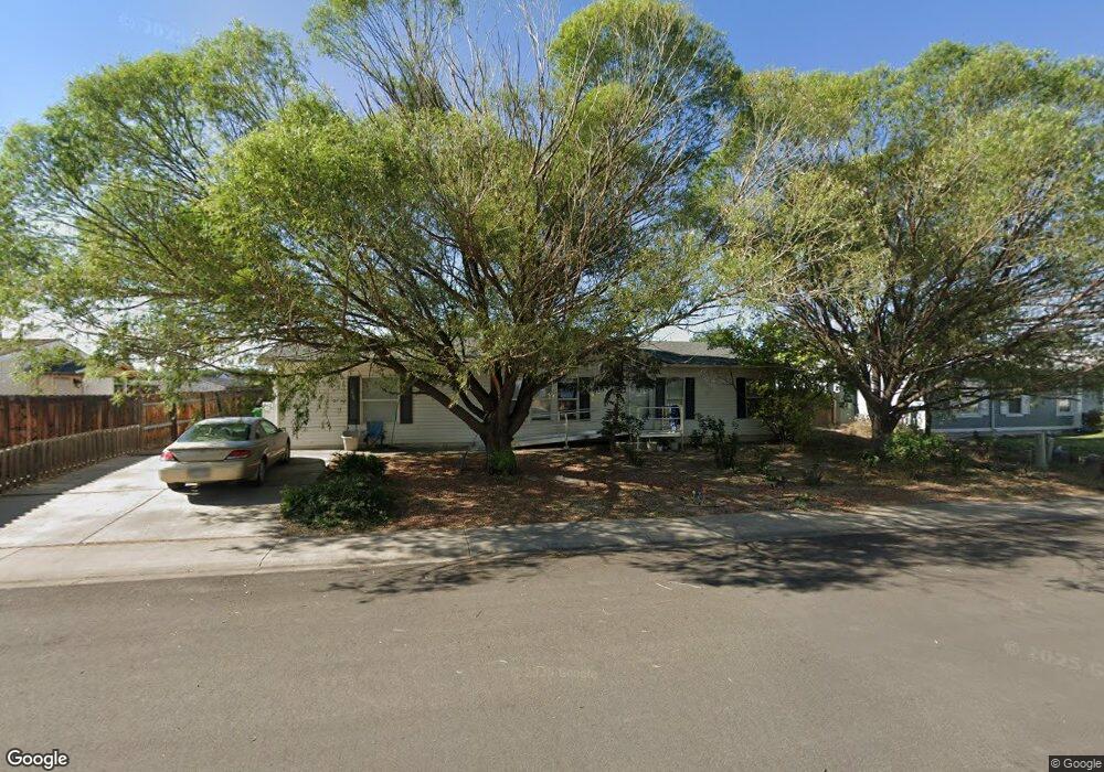
1844 Roxie Dr Montrose, CO 81401
Estimated Value: $334,000 - $422,120
3
Beds
2
Baths
1,512
Sq Ft
$246/Sq Ft
Est. Value
About This Home
This home is located at 1844 Roxie Dr, Montrose, CO 81401 and is currently estimated at $371,280, approximately $245 per square foot. 1844 Roxie Dr is a home located in Montrose County with nearby schools including Cottonwood Elementary School, Columbine Middle School, and Montrose High School.
Ownership History
Date
Name
Owned For
Owner Type
Purchase Details
Closed on
Apr 25, 2008
Sold by
Martinez Sandy S
Bought by
Amoto Leigh Morrell
Current Estimated Value
Home Financials for this Owner
Home Financials are based on the most recent Mortgage that was taken out on this home.
Original Mortgage
$124,500
Outstanding Balance
$78,763
Interest Rate
5.86%
Mortgage Type
New Conventional
Estimated Equity
$292,517
Purchase Details
Closed on
Dec 3, 1999
Sold by
Herrera David H and Herrera Jessica K
Bought by
Martinez Sandy S
Purchase Details
Closed on
Oct 21, 1997
Sold by
H K D Development Inc
Bought by
Herrera David H and Herrera Jessica K
Create a Home Valuation Report for This Property
The Home Valuation Report is an in-depth analysis detailing your home's value as well as a comparison with similar homes in the area
Home Values in the Area
Average Home Value in this Area
Purchase History
| Date | Buyer | Sale Price | Title Company |
|---|---|---|---|
| Amoto Leigh Morrell | $166,500 | United Title Company | |
| Martinez Sandy S | $98,600 | -- | |
| Herrera David H | $23,400 | -- |
Source: Public Records
Mortgage History
| Date | Status | Borrower | Loan Amount |
|---|---|---|---|
| Open | Amoto Leigh Morrell | $124,500 |
Source: Public Records
Tax History Compared to Growth
Tax History
| Year | Tax Paid | Tax Assessment Tax Assessment Total Assessment is a certain percentage of the fair market value that is determined by local assessors to be the total taxable value of land and additions on the property. | Land | Improvement |
|---|---|---|---|---|
| 2024 | $916 | $19,410 | $2,820 | $16,590 |
| 2023 | $916 | $23,960 | $3,480 | $20,480 |
| 2022 | $681 | $16,700 | $2,430 | $14,270 |
| 2021 | $701 | $17,180 | $2,500 | $14,680 |
| 2020 | $470 | $13,840 | $2,070 | $11,770 |
| 2019 | $474 | $13,840 | $2,070 | $11,770 |
| 2018 | $788 | $11,220 | $1,670 | $9,550 |
| 2017 | $781 | $11,220 | $1,670 | $9,550 |
| 2016 | $691 | $10,080 | $1,610 | $8,470 |
| 2015 | $678 | $10,080 | $1,610 | $8,470 |
| 2014 | $594 | $9,430 | $1,610 | $7,820 |
Source: Public Records
Map
Nearby Homes
- TBD Odelle Rd
- TBD Oxbow Dr
- TBD Lot 1 Woodgate Rd
- TBD Lot 3 Woodgate Rd
- TBD Lot 2-2 Woodgate Rd
- TBD Lot 2 Woodgate Rd
- TBD Lot 2-3 Woodgate Rd
- TBD Lot 2-1 Woodgate Rd
- Lot: 1 Highway 550
- 2707 Abrams Ave
- 2669 Lone Cone Ave
- 1649 Sneffels St
- TBD Lot 8 Hawk Pkwy
- TBD Lots 7 & 8 Hawk Pkwy
- TBD Lot 7 Hawk Pkwy
- Lot 2305 Painted Wall Ln
- 1649 Hermosa St
- TBD Otter Pond Cir
- 1600 Arland Rd Unit 3
- 1686 Rheims Ct