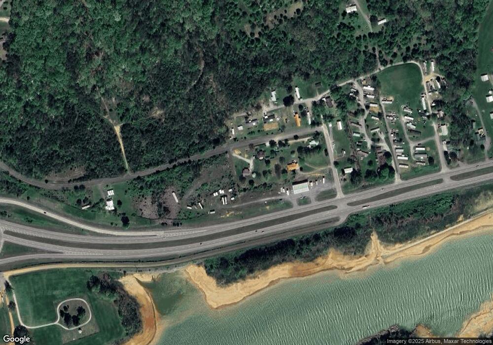
185 Spoone St Bean Station, TN 37708
Estimated Value: $159,008 - $240,000
--
Bed
1
Bath
984
Sq Ft
$202/Sq Ft
Est. Value
About This Home
This home is located at 185 Spoone St, Bean Station, TN 37708 and is currently estimated at $199,002, approximately $202 per square foot. 185 Spoone St is a home located in Grainger County with nearby schools including Bean Station Elementary School, Rutledge Middle School, and Grainger High School.
Ownership History
Date
Name
Owned For
Owner Type
Purchase Details
Closed on
Apr 29, 2021
Sold by
Livingston Tammy
Bought by
Trent Brandon Dean
Current Estimated Value
Home Financials for this Owner
Home Financials are based on the most recent Mortgage that was taken out on this home.
Original Mortgage
$70,818
Outstanding Balance
$63,940
Interest Rate
3%
Mortgage Type
FHA
Estimated Equity
$135,062
Purchase Details
Closed on
Nov 9, 1999
Sold by
Lumpkins Harold and Lumpkins Tammy
Bought by
Livingston Tammy
Purchase Details
Closed on
Jul 24, 1999
Bought by
Citizens Band & Trust
Purchase Details
Closed on
Aug 12, 1996
Sold by
Henry Hodges and Henry Linda
Bought by
Lumpkins Harold
Purchase Details
Closed on
May 17, 1991
Bought by
Hodges Henry and Hodges Linda
Create a Home Valuation Report for This Property
The Home Valuation Report is an in-depth analysis detailing your home's value as well as a comparison with similar homes in the area
Home Values in the Area
Average Home Value in this Area
Purchase History
| Date | Buyer | Sale Price | Title Company |
|---|---|---|---|
| Trent Brandon Dean | $74,840 | None Available | |
| Trent Brandon Dean | $74,840 | None Listed On Document | |
| Livingston Tammy | $23,000 | -- | |
| Citizens Band & Trust | $30,700 | -- | |
| Lumpkins Harold | $4,000 | -- | |
| Hodges Henry | $1,500 | -- |
Source: Public Records
Mortgage History
| Date | Status | Borrower | Loan Amount |
|---|---|---|---|
| Open | Trent Brandon Dean | $70,818 | |
| Closed | Trent Brandon Dean | $70,818 |
Source: Public Records
Tax History Compared to Growth
Tax History
| Year | Tax Paid | Tax Assessment Tax Assessment Total Assessment is a certain percentage of the fair market value that is determined by local assessors to be the total taxable value of land and additions on the property. | Land | Improvement |
|---|---|---|---|---|
| 2025 | $615 | $26,150 | $0 | $0 |
| 2024 | $615 | $26,150 | $3,825 | $22,325 |
| 2023 | $615 | $26,150 | $3,825 | $22,325 |
| 2022 | $601 | $26,150 | $3,825 | $22,325 |
| 2021 | $601 | $26,150 | $3,825 | $22,325 |
| 2020 | $544 | $26,150 | $3,825 | $22,325 |
| 2019 | $544 | $19,425 | $4,250 | $15,175 |
| 2018 | $470 | $19,425 | $4,250 | $15,175 |
| 2017 | $470 | $19,425 | $4,250 | $15,175 |
| 2016 | $470 | $19,425 | $4,250 | $15,175 |
| 2015 | $458 | $19,425 | $4,250 | $15,175 |
| 2014 | $458 | $18,303 | $0 | $0 |
Source: Public Records
Map
Nearby Homes
- 163 Spoone St
- 1973 Rocky Springs Rd
- 997 Miller Hollow Rd
- 194 Pleasant Ridge Ln
- 420 Meadow Branch Rd
- Lot 44 Bayside Blvd
- o Terrace Dr
- 299 Main St
- 1515 Ned Clark Rd
- 0 Paradise Mountain Ln Unit 1314541
- Lot 39 Logans Bluff
- 415 Rocky Springs Rd
- 164 Logans Bluff
- 254 Meadowview Ln
- 312 Terrace View Dr
- 0 Rhondas Way
- Lot 10R Rhondas Way
- 226 Briar Fork Rd
- 0 Terrace View Dr
- 434 Little Boy Cir
- 046.08 Par 04608 Spoone Ln
- 443 Little Boy Cir
- 373 Little Boy Cir
- 358 Little Boy Cir
- 4224 Highway 25 E
- 329 Spoone St
- 330 Little Boy Cir
- 0 Spoon St Unit 234586
- 0 Spoon St Unit 217749
- 0 Spoon St Unit 682659
- 0 Spoon St Unit 909166
- 0 Spoon St Unit 930991
- 000 Highway 11w
- 189 Bill Ln
- 172 Little Boy Cir
- 144 Little Boy Cir
- 176 Little Boy Cir
- 4174 Highway 25 E
- 160 Little Boy Cir
