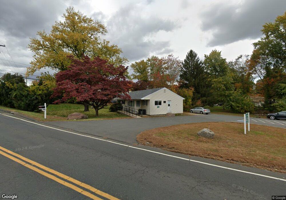
185 Windsorville Rd Ellington, CT 06029
Estimated Value: $434,310
3
Beds
2
Baths
1,225
Sq Ft
$355/Sq Ft
Est. Value
About This Home
This home is located at 185 Windsorville Rd, Ellington, CT 06029 and is currently estimated at $434,310, approximately $354 per square foot. 185 Windsorville Rd is a home located in Tolland County with nearby schools including Ellington High School.
Ownership History
Date
Name
Owned For
Owner Type
Purchase Details
Closed on
Feb 25, 2010
Sold by
Slicer Carl and Slicer Carolann
Bought by
Connecticut State Of
Current Estimated Value
Purchase Details
Closed on
Feb 1, 1991
Sold by
Slicer Herbert and Slicer Gail
Bought by
Slicer Carl and Slicer Carol
Home Financials for this Owner
Home Financials are based on the most recent Mortgage that was taken out on this home.
Original Mortgage
$75,000
Interest Rate
9.52%
Mortgage Type
Purchase Money Mortgage
Create a Home Valuation Report for This Property
The Home Valuation Report is an in-depth analysis detailing your home's value as well as a comparison with similar homes in the area
Home Values in the Area
Average Home Value in this Area
Purchase History
| Date | Buyer | Sale Price | Title Company |
|---|---|---|---|
| Connecticut State Of | -- | -- | |
| Connecticut State Of | -- | -- | |
| Slicer Carl | $100,000 | -- | |
| Slicer Carl | $100,000 | -- |
Source: Public Records
Mortgage History
| Date | Status | Borrower | Loan Amount |
|---|---|---|---|
| Previous Owner | Slicer Carl | $58,768 | |
| Previous Owner | Slicer Carl | $75,000 |
Source: Public Records
Tax History Compared to Growth
Tax History
| Year | Tax Paid | Tax Assessment Tax Assessment Total Assessment is a certain percentage of the fair market value that is determined by local assessors to be the total taxable value of land and additions on the property. | Land | Improvement |
|---|---|---|---|---|
| 2025 | $4,635 | $124,920 | $70,460 | $54,460 |
| 2024 | $4,497 | $124,920 | $70,460 | $54,460 |
| 2023 | $4,285 | $124,920 | $70,460 | $54,460 |
| 2022 | $4,060 | $124,920 | $70,460 | $54,460 |
| 2021 | $3,947 | $124,920 | $70,460 | $54,460 |
| 2020 | $7,772 | $122,810 | $51,230 | $71,580 |
| 2019 | $4,106 | $125,960 | $51,230 | $74,730 |
| 2016 | $3,842 | $125,960 | $51,230 | $74,730 |
| 2015 | $3,438 | $112,710 | $48,660 | $64,050 |
| 2014 | $3,235 | $112,710 | $48,660 | $64,050 |
Source: Public Records
Map
Nearby Homes
- 14 Pinney St Unit 24
- 1 Abbott Rd Unit 85
- 1 Abbott Rd Unit 101
- 0 Abbott Rd
- 18 Hayes Ave
- 45 Windermere Village Rd Unit 45
- 3 Standish Rd
- 60 Old Town Rd Unit 143
- 60 Old Town Rd Unit 29
- 60 Old Town Rd Unit 67
- 16 Ellridge Place
- 155 New Marker Rd
- 565 Talcottville Rd Unit 1C4
- 4 Loveland Hill Rd Unit C4
- 721 Dart Hill Rd
- 4 Bellevue Ave
- 80 Country Ln Unit 40
- 80 Country Ln Unit 11
- 201 Regan Rd Unit 2B
- 113 Regan Rd
- 7 Pinney St
- 2 Crescent Cir
- 192 Windsorville Rd
- 10 Pinney St
- 0 Pinney St Unit G10239588
- 9 Pinney St
- 4 Crescent Cir
- 276 Skinner Rd
- 189 Windsorville Rd
- 1 Crescent Cir
- 120 Gerald Dr
- 14 Pinney St Unit 28
- 14 Pinney St Unit 10
- 14 Pinney St Unit 4
- 14 Pinney St Unit 15
- 14 Pinney St Unit 38
- 14 Pinney St Unit 19
- 14 Pinney St Unit 18
- 14 Pinney St Unit 43
- 14 Pinney St Unit 22