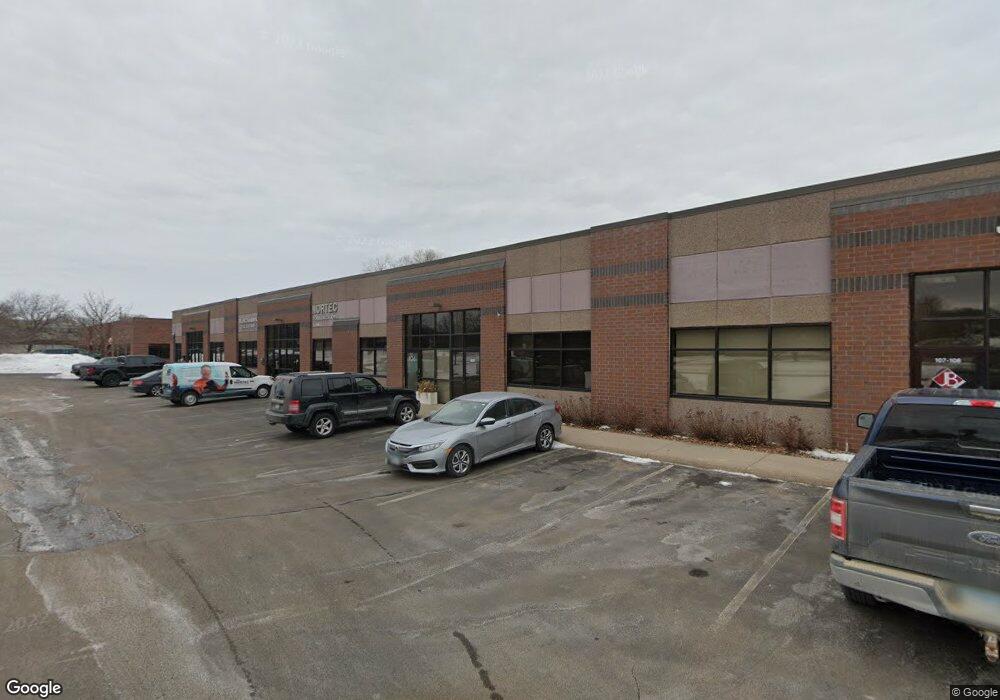
1850 E 121st St Unit 106 Burnsville, MN 55337
Estimated Value: $336,954
--
Bed
1
Bath
1,910
Sq Ft
$176/Sq Ft
Est. Value
About This Home
This home is located at 1850 E 121st St Unit 106, Burnsville, MN 55337 and is currently estimated at $336,954, approximately $176 per square foot. 1850 E 121st St Unit 106 is a home located in Dakota County with nearby schools including William Byrne Elementary School, Burnsville High School, and Gateway STEM Academy.
Ownership History
Date
Name
Owned For
Owner Type
Purchase Details
Closed on
Jun 22, 2022
Sold by
Adamson Cynthia
Bought by
Jaak Commercial Properties Llc
Current Estimated Value
Home Financials for this Owner
Home Financials are based on the most recent Mortgage that was taken out on this home.
Original Mortgage
$260,000
Outstanding Balance
$247,455
Interest Rate
5.3%
Mortgage Type
New Conventional
Estimated Equity
$89,499
Purchase Details
Closed on
Dec 5, 2018
Sold by
Adamson Thomas Neil and Adamson Cynthia A
Bought by
Adamson Cynthia A and Cynthia A Adamson Living Trust
Purchase Details
Closed on
Feb 21, 2018
Sold by
Pcmk Holdings Llc
Bought by
Adamson Thomas Neil
Purchase Details
Closed on
Dec 20, 2006
Sold by
Paul F Gonyea Llc
Bought by
Pcmk Holdings Llc
Purchase Details
Closed on
Dec 14, 2004
Sold by
Paul F Gonyea Llc
Bought by
Nortec Holdings Llc
Create a Home Valuation Report for This Property
The Home Valuation Report is an in-depth analysis detailing your home's value as well as a comparison with similar homes in the area
Home Values in the Area
Average Home Value in this Area
Purchase History
| Date | Buyer | Sale Price | Title Company |
|---|---|---|---|
| Jaak Commercial Properties Llc | $325,000 | -- | |
| Adamson Cynthia A | -- | None Available | |
| Adamson Thomas Neil | $222,000 | Land Title Inc | |
| Pcmk Holdings Llc | $255,000 | -- | |
| Nortec Holdings Llc | $226,000 | -- |
Source: Public Records
Mortgage History
| Date | Status | Borrower | Loan Amount |
|---|---|---|---|
| Open | Jaak Commercial Properties Llc | $260,000 |
Source: Public Records
Tax History Compared to Growth
Tax History
| Year | Tax Paid | Tax Assessment Tax Assessment Total Assessment is a certain percentage of the fair market value that is determined by local assessors to be the total taxable value of land and additions on the property. | Land | Improvement |
|---|---|---|---|---|
| 2024 | $6,622 | $301,900 | $40,000 | $261,900 |
| 2023 | $6,622 | $300,700 | $40,000 | $260,700 |
| 2022 | $4,636 | $224,000 | $40,000 | $184,000 |
| 2021 | $5,380 | $199,700 | $40,000 | $159,700 |
| 2020 | $4,718 | $217,300 | $40,000 | $177,300 |
| 2019 | $3,904 | $198,400 | $40,000 | $158,400 |
| 2018 | $4,022 | $168,000 | $40,000 | $128,000 |
| 2017 | $4,719 | $168,900 | $40,000 | $128,900 |
| 2016 | $5,139 | $165,400 | $40,000 | $125,400 |
| 2015 | $5,865 | $172,400 | $40,000 | $132,400 |
| 2014 | -- | $190,300 | $40,000 | $150,300 |
| 2013 | -- | $209,000 | $40,000 | $169,000 |
Source: Public Records
Map
Nearby Homes
- 1609 Riverwood Dr
- 2005 E 122nd St Unit A7
- 2005 E 122nd St Unit A14
- 2005 E 122nd St Unit A23
- 1853 Riverwood Dr Unit 4
- 2011 E 122nd St Unit D24
- 2007 E 122nd St Unit B15
- 1800 Riverwood Dr Unit 110
- 1800 Riverwood Dr Unit 323
- 12232 Oak Leaf Cir
- 2200 Horizon Rd
- 12316 Michelle Cir
- 12284 River Valley Dr
- 12251 River Valley Dr
- 2300 Villaburne Ct W
- 11900 Highland View Cir
- 12420 Chippewa Ln
- 1115 E Travelers Trail
- 2400 E 125th St
- 122 Birnamwood Dr
- 1850 E 121st St
- 1850 E 121st St Unit 103
- 1800 E 121st St
- 1705 Highway 13 E
- 12013 County Road 11
- 12119 16th Ave S
- 2003 E 121st St
- 2003 E 121st St
- 1799 Riverwood Dr Unit C5
- 1783 Riverwood Dr
- 1797 Riverwood Dr Unit 53
- 1767 Riverwood Dr Unit 75
- 1781 Riverwood Dr Unit 54
- 1795 1795 River Wood-Drive-
- 1795 1795 River Wood Dr
- 1825 Riverwood Dr
- 1825 Riverwood Dr Unit 39
- 1795 Riverwood Dr
- 1721 Riverwood Dr
- 1741 Riverwood Dr