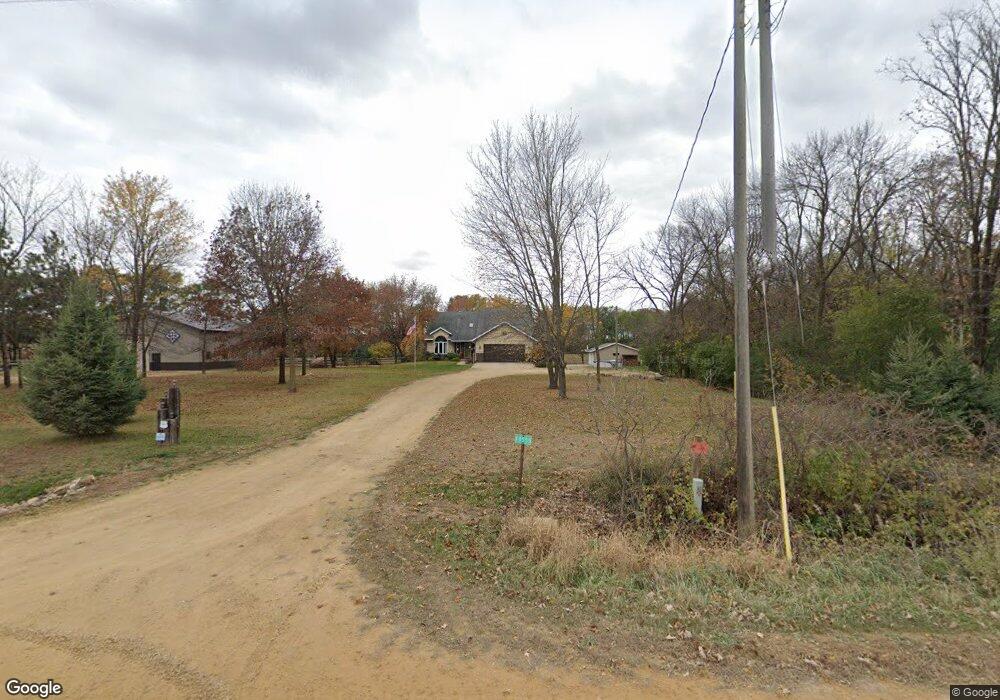
18555 Michael Ave Hastings, MN 55033
Hastings-Marshan Township NeighborhoodEstimated Value: $583,000 - $712,000
4
Beds
3
Baths
1,886
Sq Ft
$348/Sq Ft
Est. Value
About This Home
This home is located at 18555 Michael Ave, Hastings, MN 55033 and is currently estimated at $656,148, approximately $347 per square foot. 18555 Michael Ave is a home located in Dakota County with nearby schools including Pinecrest Elementary School, Hastings Middle School, and Hastings High School.
Ownership History
Date
Name
Owned For
Owner Type
Purchase Details
Closed on
Jul 15, 2016
Sold by
Moody Nicholas and Moody Jennifer Lynn
Bought by
The Colleen Louise Frojd Trust
Current Estimated Value
Purchase Details
Closed on
Nov 1, 2013
Sold by
Welter Dean R and Walter Debra L
Bought by
Moody Nicholas and Moody Jennifer Lynn
Home Financials for this Owner
Home Financials are based on the most recent Mortgage that was taken out on this home.
Original Mortgage
$337,162
Interest Rate
4.14%
Mortgage Type
VA
Create a Home Valuation Report for This Property
The Home Valuation Report is an in-depth analysis detailing your home's value as well as a comparison with similar homes in the area
Home Values in the Area
Average Home Value in this Area
Purchase History
| Date | Buyer | Sale Price | Title Company |
|---|---|---|---|
| The Colleen Louise Frojd Trust | $425,000 | Dca Title | |
| Moody Nicholas | $370,000 | Edina Realty Title Inc |
Source: Public Records
Mortgage History
| Date | Status | Borrower | Loan Amount |
|---|---|---|---|
| Previous Owner | Moody Nicholas | $337,162 |
Source: Public Records
Tax History Compared to Growth
Tax History
| Year | Tax Paid | Tax Assessment Tax Assessment Total Assessment is a certain percentage of the fair market value that is determined by local assessors to be the total taxable value of land and additions on the property. | Land | Improvement |
|---|---|---|---|---|
| 2024 | $3,926 | $587,900 | $124,200 | $463,700 |
| 2023 | $3,926 | $547,200 | $117,400 | $429,800 |
| 2022 | $3,678 | $477,300 | $115,800 | $361,500 |
| 2021 | $3,940 | $460,500 | $112,600 | $347,900 |
| 2020 | $3,680 | $478,900 | $112,600 | $366,300 |
| 2019 | $3,660 | $414,000 | $107,200 | $306,800 |
| 2018 | $3,747 | $410,200 | $96,800 | $313,400 |
| 2017 | $3,110 | $397,900 | $92,200 | $305,700 |
| 2016 | $2,795 | $338,200 | $92,200 | $246,000 |
| 2015 | $2,677 | $301,423 | $85,955 | $215,468 |
| 2014 | -- | $286,490 | $82,281 | $204,209 |
| 2013 | -- | $248,776 | $73,192 | $175,584 |
Source: Public Records
Map
Nearby Homes
- 17994 Michael Ave
- 4198 Starling Dr
- 115 Kinglet Dr
- 182 Sandpiper Cir
- 545 Tuttle Dr
- Lot 3 Orlando Ave
- Lot 1 Orlando Ave
- Lot 2 Orlando Ave
- 235 Tiffany Dr
- 3525 Douglas Dr
- 3575 Vermillion St
- 3525 Vermillion St
- 365 Hayes Dr Unit 30
- 3200 Malcolm Ave
- 13550 210th St E
- 10647 180th St E
- 2211 Glacier Way
- 753 Greten Ln
- 2341 Glacier Way
- XXX Red Wing Blvd
- 18600 Michael Ave
- 18815 Michael Ave
- 18875 Michael Ave
- 13361 190th St E
- 13725 190th St E
- 13275 190th St E
- 13225 190th St E
- 13851 190th St E
- 13777 190th St E
- 13346 190th St E
- 13220 190th St E
- 18500 Lillehei Ave
- 13800 190th St E
- 17900 Michael Ave
- 13847 190th St E
- 13025 190th St E
- 19150 Michael Ave
- 12979 190th St E
- 12745 190th St E
- 12755 190th St E