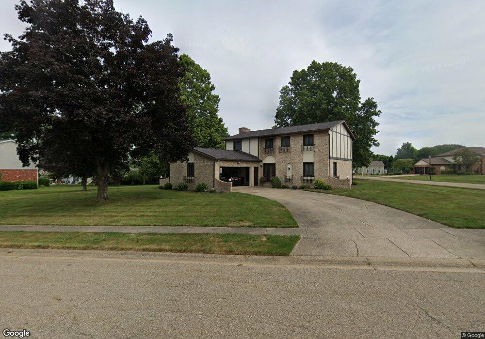
1857 Opal St Louisville, OH 44641
Estimated Value: $273,997 - $319,000
3
Beds
3
Baths
2,184
Sq Ft
$134/Sq Ft
Est. Value
About This Home
This home is located at 1857 Opal St, Louisville, OH 44641 and is currently estimated at $291,749, approximately $133 per square foot. 1857 Opal St is a home located in Stark County with nearby schools including Louisville High School and St. Thomas Aquinas High School & Middle School.
Ownership History
Date
Name
Owned For
Owner Type
Purchase Details
Closed on
Aug 27, 2014
Sold by
Page Susan J
Bought by
The Page Family Revocable Living Trust
Current Estimated Value
Purchase Details
Closed on
Jul 30, 2011
Sold by
Page Susan J
Bought by
Page Susan J and Page George A
Purchase Details
Closed on
Dec 27, 2004
Sold by
Arlen George and Page Susan Jean
Bought by
Page Susan J and Susan J Page Trust
Create a Home Valuation Report for This Property
The Home Valuation Report is an in-depth analysis detailing your home's value as well as a comparison with similar homes in the area
Home Values in the Area
Average Home Value in this Area
Purchase History
| Date | Buyer | Sale Price | Title Company |
|---|---|---|---|
| The Page Family Revocable Living Trust | -- | None Available | |
| Page Susan J | -- | None Available | |
| Page Susan J | -- | -- |
Source: Public Records
Tax History Compared to Growth
Tax History
| Year | Tax Paid | Tax Assessment Tax Assessment Total Assessment is a certain percentage of the fair market value that is determined by local assessors to be the total taxable value of land and additions on the property. | Land | Improvement |
|---|---|---|---|---|
| 2025 | -- | $77,600 | $17,260 | $60,340 |
| 2024 | -- | $77,600 | $17,260 | $60,340 |
| 2023 | $2,524 | $67,910 | $16,280 | $51,630 |
| 2022 | $2,548 | $67,910 | $16,280 | $51,630 |
| 2021 | $2,555 | $67,910 | $16,280 | $51,630 |
| 2020 | $2,129 | $62,270 | $14,670 | $47,600 |
| 2019 | $2,137 | $62,270 | $14,670 | $47,600 |
| 2018 | $2,129 | $62,270 | $14,670 | $47,600 |
| 2017 | $1,902 | $54,880 | $12,880 | $42,000 |
| 2016 | $1,941 | $54,880 | $12,880 | $42,000 |
| 2015 | $1,947 | $54,880 | $12,880 | $42,000 |
| 2014 | $1,756 | $47,430 | $11,130 | $36,300 |
| 2013 | $882 | $47,430 | $11,130 | $36,300 |
Source: Public Records
Map
Nearby Homes
- 2110 Edmar St
- 1812 E Broad St
- 1715 High St
- 641 S Nickelplate St
- 3390 Meese Rd NE
- 520 S Silver St
- 308 Superior St
- 908 Sand Lot Cir
- 2015 E Main St
- 728 E Broad St
- 0 Michigan Blvd
- 510 S Bauman Ct
- 204 E Broad St
- 107 E Broad St
- 8225 Georgetown St
- 325 Lincoln Ave
- 1702 View Pointe Ave
- 1639 Horizon Dr
- 1170 Winding Ridge Ave
- 910 Crosswyck Cir
- 1077 Hillcliff St
- 1907 Opal St
- 1856 Opal St
- 1021 Hillcliff St
- 1837 Opal St
- 1080 Cypress Ave
- 1900 Tanglewood Cir
- 1906 Opal St
- 1050 Cypress Ave
- 1917 Opal St
- 1836 Opal St
- 1011 Hillcliff St
- 1907 Edmar St
- 1847 Edmar St
- 1827 Opal St
- 1916 Opal St
- 1030 Cypress St
- 1050 Cypress St
- 1035 Cypress St
- 1085 Cypress Ave