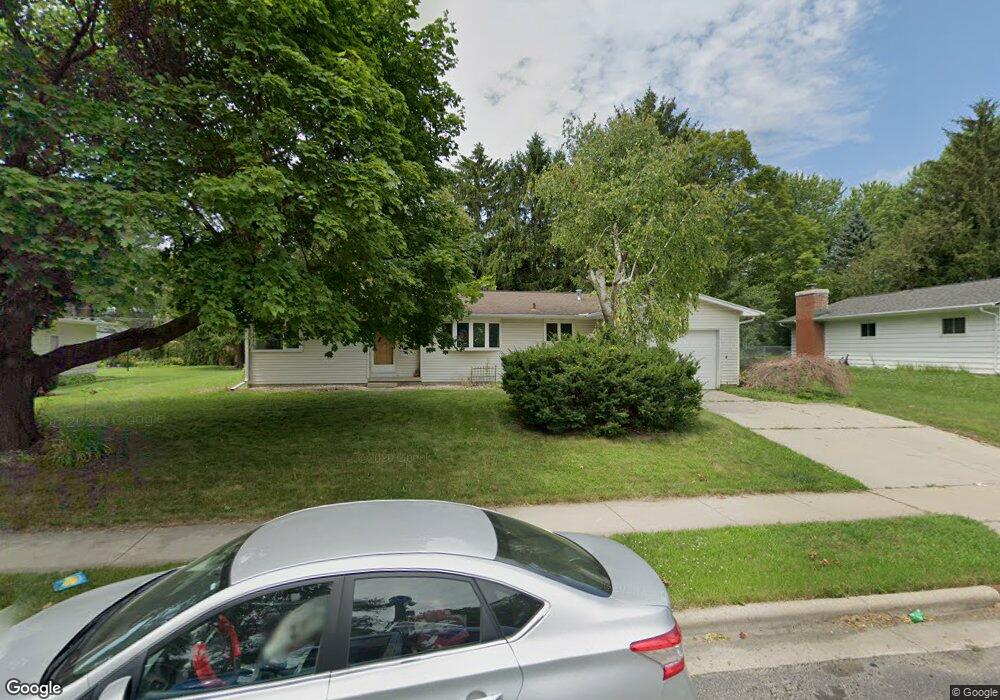
186 Davison Dr Sun Prairie, WI 53590
Central Sun Prairie NeighborhoodEstimated Value: $307,000 - $363,587
3
Beds
2
Baths
1,222
Sq Ft
$282/Sq Ft
Est. Value
About This Home
This home is located at 186 Davison Dr, Sun Prairie, WI 53590 and is currently estimated at $344,647, approximately $282 per square foot. 186 Davison Dr is a home located in Dane County with nearby schools including Westside Elementary School, Prairie View Middle School, and Sacred Hearts School.
Ownership History
Date
Name
Owned For
Owner Type
Purchase Details
Closed on
Mar 15, 2006
Sold by
Mccarthy Michael
Bought by
Clark Michael Scott
Current Estimated Value
Home Financials for this Owner
Home Financials are based on the most recent Mortgage that was taken out on this home.
Original Mortgage
$127,000
Outstanding Balance
$72,620
Interest Rate
6.37%
Mortgage Type
New Conventional
Estimated Equity
$272,027
Create a Home Valuation Report for This Property
The Home Valuation Report is an in-depth analysis detailing your home's value as well as a comparison with similar homes in the area
Home Values in the Area
Average Home Value in this Area
Purchase History
| Date | Buyer | Sale Price | Title Company |
|---|---|---|---|
| Clark Michael Scott | $184,900 | None Available |
Source: Public Records
Mortgage History
| Date | Status | Borrower | Loan Amount |
|---|---|---|---|
| Open | Clark Michael Scott | $127,000 |
Source: Public Records
Tax History Compared to Growth
Tax History
| Year | Tax Paid | Tax Assessment Tax Assessment Total Assessment is a certain percentage of the fair market value that is determined by local assessors to be the total taxable value of land and additions on the property. | Land | Improvement |
|---|---|---|---|---|
| 2024 | $5,358 | $287,000 | $64,700 | $222,300 |
| 2023 | $4,845 | $287,000 | $64,700 | $222,300 |
| 2021 | $4,339 | $211,800 | $60,500 | $151,300 |
| 2020 | $4,472 | $211,800 | $60,500 | $151,300 |
| 2019 | $4,312 | $182,100 | $48,400 | $133,700 |
| 2018 | $4,006 | $182,100 | $48,400 | $133,700 |
| 2017 | $3,864 | $182,100 | $48,400 | $133,700 |
| 2016 | $3,776 | $161,500 | $42,400 | $119,100 |
| 2015 | $3,672 | $161,500 | $42,400 | $119,100 |
| 2014 | $3,691 | $161,300 | $42,400 | $118,900 |
| 2013 | $3,721 | $161,300 | $42,400 | $118,900 |
Source: Public Records
Map
Nearby Homes
- 1033 Lothe St
- 200 Queens St
- 916 Ring St
- 3345 U S 151
- 1486 Ivory Dr
- 1443 Buena Vista Dr
- 530 W Main St
- 706 Woodland Dr
- 921 Pine St
- 1500 Calico Ln
- 147 Flint St
- 1013 Vandenburg St
- 1010 Andrews Dr
- 600 Linnerud Dr
- 709 Linnerud Dr
- 933 Allison St
- 227 Windsor St
- 643 Eddington Dr
- 104 Waldorf Ct
- 2543 Water Lily Cir
- 190 Davison Dr
- 178 Davison Dr
- 187 Amber Trail
- 181 Amber Trail
- 191 Amber Trail
- 170 Davison Dr
- 194 Davison Dr
- 183 Davison Dr
- 175 Amber Trail
- 175 Davison Dr
- 195 Amber Trail
- 191 Davison Dr
- 964 Beech Ct
- 164 Davison Dr
- 198 Davison Dr
- 169 Amber Trail
- 199 Davison Dr
- 199 Amber Trail
- 176 Amber Trail
- 1011 Frederick St