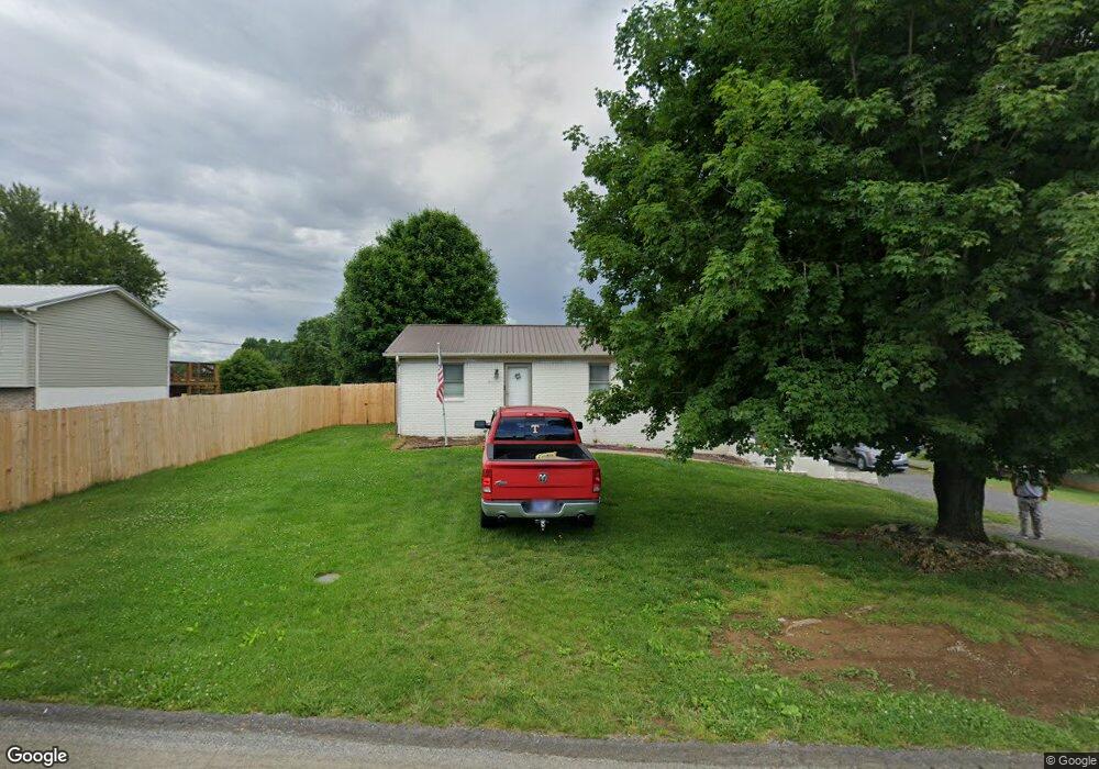
1862 Carroll Rd Morristown, TN 37813
Estimated Value: $178,805 - $304,000
--
Bed
1
Bath
1,000
Sq Ft
$258/Sq Ft
Est. Value
About This Home
This home is located at 1862 Carroll Rd, Morristown, TN 37813 and is currently estimated at $258,451, approximately $258 per square foot. 1862 Carroll Rd is a home located in Hamblen County with nearby schools including Union Heights Elementary School, East Ridge Middle School, and Morristown East High School.
Ownership History
Date
Name
Owned For
Owner Type
Purchase Details
Closed on
Jun 30, 1992
Bought by
Green William E and Green Angela H
Current Estimated Value
Purchase Details
Closed on
Sep 27, 1990
Bought by
Quinn Amelia K
Purchase Details
Closed on
Nov 10, 1987
Bought by
Quinn Paul A and Quinn Amelia K
Purchase Details
Closed on
Dec 16, 1980
Bought by
Henegar Stephen R and Henegar Teresa
Purchase Details
Closed on
Nov 24, 1979
Bought by
Warren Warren J and Warren Edna
Create a Home Valuation Report for This Property
The Home Valuation Report is an in-depth analysis detailing your home's value as well as a comparison with similar homes in the area
Home Values in the Area
Average Home Value in this Area
Purchase History
| Date | Buyer | Sale Price | Title Company |
|---|---|---|---|
| Green William E | $40,500 | -- | |
| Quinn Amelia K | -- | -- | |
| Quinn Paul A | $32,200 | -- | |
| Henegar Stephen R | $32,000 | -- | |
| Warren Warren J | -- | -- |
Source: Public Records
Tax History Compared to Growth
Tax History
| Year | Tax Paid | Tax Assessment Tax Assessment Total Assessment is a certain percentage of the fair market value that is determined by local assessors to be the total taxable value of land and additions on the property. | Land | Improvement |
|---|---|---|---|---|
| 2024 | $567 | $28,800 | $3,725 | $25,075 |
| 2023 | $567 | $28,800 | $0 | $0 |
| 2022 | $567 | $28,800 | $3,725 | $25,075 |
| 2021 | $567 | $28,800 | $3,725 | $25,075 |
| 2020 | $567 | $28,800 | $3,725 | $25,075 |
| 2019 | $548 | $25,725 | $3,125 | $22,600 |
| 2018 | $548 | $25,725 | $3,125 | $22,600 |
| 2017 | $548 | $25,725 | $3,125 | $22,600 |
| 2016 | $503 | $25,725 | $3,125 | $22,600 |
| 2015 | $468 | $25,300 | $3,125 | $22,175 |
| 2014 | -- | $25,300 | $3,125 | $22,175 |
| 2013 | -- | $26,400 | $0 | $0 |
Source: Public Records
Map
Nearby Homes
- 1884 Carroll Rd
- 1850 Carroll Rd
- 1857 Pembrook Dr
- 1845 Pembrook Dr
- 1877 Pembrook Dr
- 1834 Carroll Rd
- 1896 Carroll Rd
- 1831 Pembrook Dr
- 1885 Pembrook Dr
- 1851 Carroll Rd
- 1912 Carroll Rd
- 1821 Pembrook Dr
- 3475 Brighton Ln
- 1860 Pembrook Dr
- 1877 Carroll Rd
- 1840 Pembrook Dr
- 1878 Pembrook Dr
- 1830 Pembrook Dr
- 1928 Carroll Rd
- 1807 Pembrook Dr