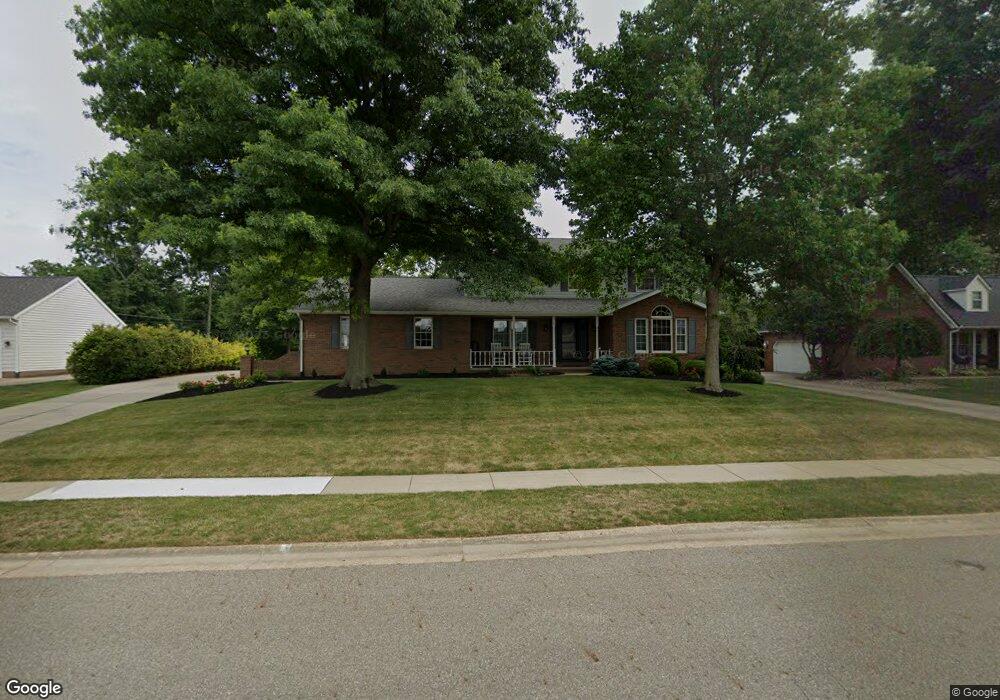
1867 Briarwood St Louisville, OH 44641
Estimated Value: $318,000 - $365,000
3
Beds
3
Baths
2,346
Sq Ft
$144/Sq Ft
Est. Value
About This Home
This home is located at 1867 Briarwood St, Louisville, OH 44641 and is currently estimated at $338,357, approximately $144 per square foot. 1867 Briarwood St is a home located in Stark County with nearby schools including Louisville High School and St. Thomas Aquinas High School & Middle School.
Ownership History
Date
Name
Owned For
Owner Type
Purchase Details
Closed on
May 31, 2012
Sold by
Miller Karen M
Bought by
Miller Stephen A
Current Estimated Value
Home Financials for this Owner
Home Financials are based on the most recent Mortgage that was taken out on this home.
Original Mortgage
$127,500
Outstanding Balance
$19,008
Interest Rate
3.92%
Mortgage Type
New Conventional
Estimated Equity
$319,349
Purchase Details
Closed on
Aug 29, 2008
Sold by
Miller Mitchell H
Bought by
Miller Karen M
Purchase Details
Closed on
Nov 9, 1988
Create a Home Valuation Report for This Property
The Home Valuation Report is an in-depth analysis detailing your home's value as well as a comparison with similar homes in the area
Home Values in the Area
Average Home Value in this Area
Purchase History
| Date | Buyer | Sale Price | Title Company |
|---|---|---|---|
| Miller Stephen A | $170,000 | None Available | |
| Miller Karen M | -- | Attorney | |
| -- | $15,000 | -- |
Source: Public Records
Mortgage History
| Date | Status | Borrower | Loan Amount |
|---|---|---|---|
| Open | Miller Stephen A | $127,500 |
Source: Public Records
Tax History Compared to Growth
Tax History
| Year | Tax Paid | Tax Assessment Tax Assessment Total Assessment is a certain percentage of the fair market value that is determined by local assessors to be the total taxable value of land and additions on the property. | Land | Improvement |
|---|---|---|---|---|
| 2025 | -- | $100,560 | $16,910 | $83,650 |
| 2024 | -- | $100,560 | $16,910 | $83,650 |
| 2023 | $3,235 | $75,290 | $15,930 | $59,360 |
| 2022 | $3,235 | $75,290 | $15,930 | $59,360 |
| 2021 | $3,244 | $75,290 | $15,930 | $59,360 |
| 2020 | $2,652 | $66,710 | $14,350 | $52,360 |
| 2019 | $2,661 | $66,820 | $14,350 | $52,470 |
| 2018 | $2,651 | $66,820 | $14,350 | $52,470 |
| 2017 | $2,458 | $59,650 | $12,640 | $47,010 |
| 2016 | $2,508 | $59,650 | $12,640 | $47,010 |
| 2015 | $2,516 | $59,650 | $12,640 | $47,010 |
| 2014 | $339 | $51,560 | $10,920 | $40,640 |
| 2013 | $1,173 | $51,560 | $10,920 | $40,640 |
Source: Public Records
Map
Nearby Homes
- 1812 E Broad St
- 1715 High St
- 2110 Edmar St
- 2015 E Main St
- 641 S Nickelplate St
- 308 Superior St
- 520 S Silver St
- 0 Michigan Blvd
- 728 E Broad St
- 3390 Meese Rd NE
- 908 Sand Lot Cir
- 510 S Bauman Ct
- 204 E Broad St
- 107 E Broad St
- 325 Lincoln Ave
- 1170 Winding Ridge Ave
- 910 Crosswyck Cir
- 8225 Georgetown St
- 1702 View Pointe Ave
- 1639 Horizon Dr
- 1905 Briarwood St
- 1857 Briarwood St
- 0 Briarwood St Unit 3768345
- 1915 Briarwood St
- 825 Hillcliff St
- 1847 Briarwood St
- 1906 Briarwood St
- 1916 Briarwood St
- 750 Cypress Ave
- 1925 Briarwood St
- 905 Hillcliff St
- 540 Cypress Ave
- 950 Cypress Ave
- 1926 Briarwood St
- 910 Hillcliff St
- 534 Cypress Ave
- 970 Cypress Ave
- 970 Cypress Ave
- 915 Hillcliff St
- 825 Cypress Ave