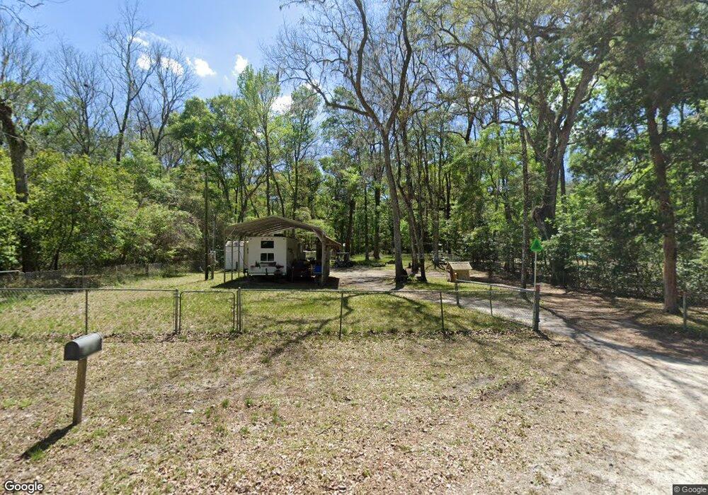
1869 NE 127th Ln Branford, FL 32008
Estimated Value: $128,374 - $152,000
2
Beds
1
Bath
750
Sq Ft
$187/Sq Ft
Est. Value
About This Home
This home is located at 1869 NE 127th Ln, Branford, FL 32008 and is currently estimated at $140,187, approximately $186 per square foot. 1869 NE 127th Ln is a home located in Gilchrist County.
Ownership History
Date
Name
Owned For
Owner Type
Purchase Details
Closed on
Aug 17, 2015
Sold by
Nall Harvey L and Nall Iva P
Bought by
Winslow David Wayne
Current Estimated Value
Purchase Details
Closed on
Dec 20, 2013
Sold by
Murray David H and Murray Kim A
Bought by
Nail Harvey L and Nail Iva P
Purchase Details
Closed on
Aug 31, 2012
Sold by
Moore Kenneth and Mooore Cindy Wilkerson
Bought by
Murray David H and Murray Kim A
Home Financials for this Owner
Home Financials are based on the most recent Mortgage that was taken out on this home.
Original Mortgage
$18,000
Interest Rate
4.63%
Mortgage Type
Seller Take Back
Purchase Details
Closed on
Mar 24, 2006
Sold by
Osteen Glenn W and Mixon Glenda Lee
Bought by
Moore Kenneth and Moore Cindy Wilkerson
Create a Home Valuation Report for This Property
The Home Valuation Report is an in-depth analysis detailing your home's value as well as a comparison with similar homes in the area
Home Values in the Area
Average Home Value in this Area
Purchase History
| Date | Buyer | Sale Price | Title Company |
|---|---|---|---|
| Winslow David Wayne | $25,000 | Gilchrist Title Services | |
| Nail Harvey L | $25,000 | Gilchrist Title Services | |
| Murray David H | $18,500 | Gilchrist Title Services | |
| Moore Kenneth | $25,000 | None Available |
Source: Public Records
Mortgage History
| Date | Status | Borrower | Loan Amount |
|---|---|---|---|
| Previous Owner | Murray David H | $18,000 |
Source: Public Records
Tax History Compared to Growth
Tax History
| Year | Tax Paid | Tax Assessment Tax Assessment Total Assessment is a certain percentage of the fair market value that is determined by local assessors to be the total taxable value of land and additions on the property. | Land | Improvement |
|---|---|---|---|---|
| 2025 | $668 | $24,597 | $12,500 | $12,097 |
| 2024 | $631 | $29,648 | $17,500 | $12,148 |
| 2023 | $631 | $24,252 | $0 | $0 |
| 2022 | $559 | $22,047 | $12,250 | $9,797 |
| 2021 | $503 | $20,832 | $11,000 | $9,832 |
| 2020 | $485 | $20,051 | $15,275 | $4,776 |
| 2019 | $452 | $17,054 | $15,275 | $1,779 |
| 2018 | $456 | $17,073 | $15,275 | $1,798 |
| 2017 | $446 | $16,316 | $0 | $0 |
| 2016 | $453 | $16,334 | $0 | $0 |
| 2015 | $434 | $14,974 | $0 | $0 |
| 2014 | $420 | $14,979 | $0 | $0 |
Source: Public Records
Map
Nearby Homes
- 1759 NE 127th St
- 0 NE 127th St
- 12890 NE 120 Loop
- 0 SW Bumble St Unit 128719
- 158 SW Bumble St
- lot 36 SW Bumble St
- 498 SW Manatee Terrace
- 0 NE 120th Loop
- TBD SW Reno Way
- 960 SW Iowa Dr
- 1521 SW Central Terrace
- TBD SW Boston Terrace
- 843 SW Illinois St
- 00 SW Newark Dr Unit 3
- 0 SW Newark Dr Unit MFRR4908315
- 0 SW Newark Dr Unit MFRR4908314
- 1745 SW Newark Dr
- 1965 SW Newark Dr
- 135 SW Virginia Way
- TBD SW Santa fe Dr
- 1850 NE 127th St
- 1940 NE 127th St
- 1840 NE 127th Ln
- 1890 NE 127th Ln
- 1819 NE 127th Ln
- 1790 NE 127th St
- 1949 NE 127th Ln
- 1930 NE 127th Ln
- 1839 NE 127th St
- 1909 NE 127th St
- 1879 NE 128th Place
- 1880 NE 128th Place
- 1799 NE 127th St
- 1949 NE 127th St
- 1850 NE 128th Place
- 1979 NE 127th Ln
- 1759 NE 127th Ln
- 1920 NE 128th Place
- 1930 NE 128th Place