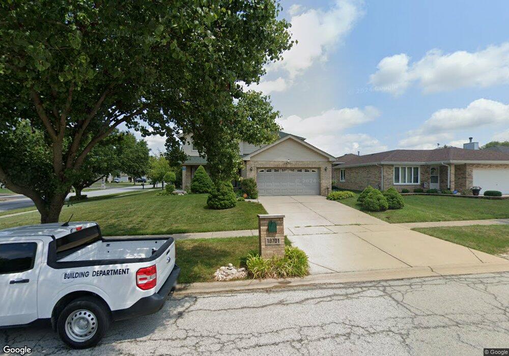
18701 Maple Ave Country Club Hills, IL 60478
Estimated Value: $143,000 - $175,000
3
Beds
2
Baths
1,100
Sq Ft
$145/Sq Ft
Est. Value
About This Home
This home is located at 18701 Maple Ave, Country Club Hills, IL 60478 and is currently estimated at $159,505, approximately $145 per square foot. 18701 Maple Ave is a home located in Cook County with nearby schools including Zenon J Sykuta School, Meadowview Intermediate School, and Southwood Middle School.
Ownership History
Date
Name
Owned For
Owner Type
Purchase Details
Closed on
Dec 13, 2005
Sold by
Bryant Cheryl L and Howard Valerie
Bought by
Buchanan Melvin and Buchanan Jennifer
Current Estimated Value
Home Financials for this Owner
Home Financials are based on the most recent Mortgage that was taken out on this home.
Original Mortgage
$72,000
Outstanding Balance
$40,785
Interest Rate
6.5%
Mortgage Type
Fannie Mae Freddie Mac
Estimated Equity
$118,720
Purchase Details
Closed on
May 9, 2005
Sold by
Brown Arthur
Bought by
Bryant Cheryl L and Howard Valerie J
Create a Home Valuation Report for This Property
The Home Valuation Report is an in-depth analysis detailing your home's value as well as a comparison with similar homes in the area
Home Values in the Area
Average Home Value in this Area
Purchase History
| Date | Buyer | Sale Price | Title Company |
|---|---|---|---|
| Buchanan Melvin | $90,000 | Ticor Title | |
| Bryant Cheryl L | -- | -- |
Source: Public Records
Mortgage History
| Date | Status | Borrower | Loan Amount |
|---|---|---|---|
| Open | Buchanan Melvin | $72,000 |
Source: Public Records
Tax History Compared to Growth
Tax History
| Year | Tax Paid | Tax Assessment Tax Assessment Total Assessment is a certain percentage of the fair market value that is determined by local assessors to be the total taxable value of land and additions on the property. | Land | Improvement |
|---|---|---|---|---|
| 2024 | $2,812 | $7,300 | $1,887 | $5,413 |
| 2023 | $1,124 | $7,300 | $1,887 | $5,413 |
| 2022 | $1,124 | $4,606 | $1,596 | $3,010 |
| 2021 | $1,180 | $4,606 | $1,596 | $3,010 |
| 2020 | $1,339 | $4,606 | $1,596 | $3,010 |
| 2019 | $3,499 | $7,545 | $1,451 | $6,094 |
| 2018 | $4,818 | $9,268 | $1,451 | $7,817 |
| 2017 | $4,748 | $9,268 | $1,451 | $7,817 |
| 2016 | $4,855 | $8,762 | $1,306 | $7,456 |
| 2015 | $4,456 | $8,762 | $1,306 | $7,456 |
| 2014 | $5,179 | $9,637 | $1,306 | $8,331 |
| 2013 | $5,427 | $10,536 | $1,306 | $9,230 |
Source: Public Records
Map
Nearby Homes
- 4215 188th St
- 18740 John Ave
- 4422 189th St
- 18528 Willow Ave
- 4224 185th Place
- 4542 Windsor Ln
- 4601 188th St
- 4531 189th St
- 18808 Cypress Ave
- 18921 John Ave
- 2323 Windsor Ln
- 18840 Loretto Ln
- 4041 187th Place
- 4501 185th St
- 4640 185th Place
- 1135 Williamsburg Rd Unit 1
- 4445 Provincetown Dr
- 18351 Anthony Ave
- 19020 John Ave
- 19011 Loretto Ln
- 18701 Maple Ave
- 18711 Maple Ave
- 4331 187th St
- 4331 W 187th St
- 18721 Maple Ave
- 4321 187th St
- 4350 187th St
- 4340 187th St
- 18700 Maple Ave
- 18710 Maple Ave
- 4330 187th St
- 4330 187th Place
- 18731 Maple Ave Unit 2
- 18720 Maple Ave
- 4311 187th St
- 18660 Maple Ave
- 4320 187th St
- 4320 187th Place
- 18650 Maple Ave
- 4310 187th St