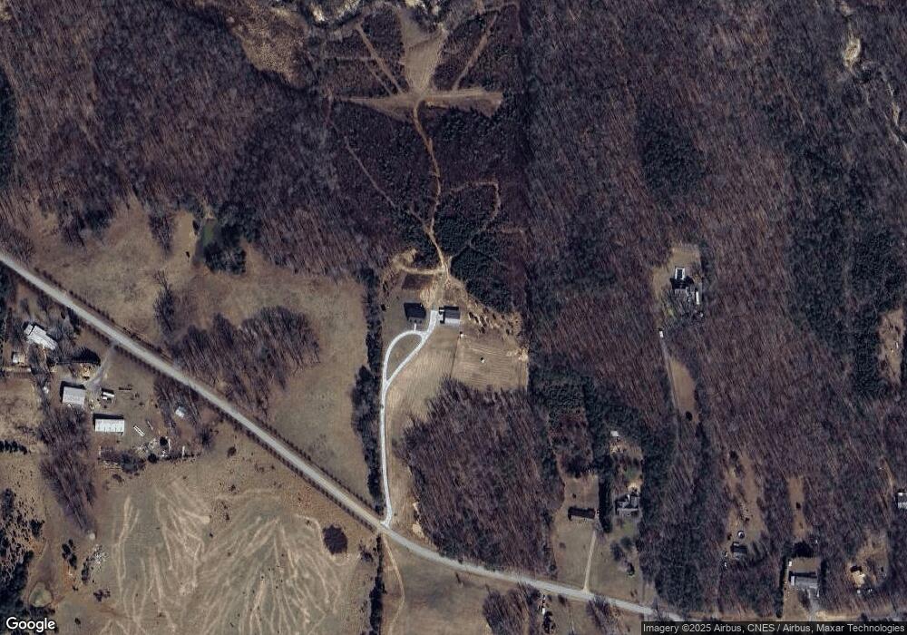
1876 Price Grange Rd Stoneville, NC 27048
Estimated Value: $212,000 - $468,000
4
Beds
2
Baths
3,688
Sq Ft
$92/Sq Ft
Est. Value
About This Home
This home is located at 1876 Price Grange Rd, Stoneville, NC 27048 and is currently estimated at $340,000, approximately $92 per square foot. 1876 Price Grange Rd is a home with nearby schools including Stoneville Elementary School, Western Rockingham Middle School, and Dalton McMichael High School.
Ownership History
Date
Name
Owned For
Owner Type
Purchase Details
Closed on
Nov 25, 2015
Sold by
Taylor Macarthur Thomas and Taylor Rhonda B
Bought by
Taylor Macarthur Thomas and Taylor Rhonda B
Current Estimated Value
Home Financials for this Owner
Home Financials are based on the most recent Mortgage that was taken out on this home.
Original Mortgage
$228,500
Interest Rate
3.87%
Mortgage Type
Commercial
Create a Home Valuation Report for This Property
The Home Valuation Report is an in-depth analysis detailing your home's value as well as a comparison with similar homes in the area
Home Values in the Area
Average Home Value in this Area
Purchase History
| Date | Buyer | Sale Price | Title Company |
|---|---|---|---|
| Taylor Macarthur Thomas | -- | Attorney |
Source: Public Records
Mortgage History
| Date | Status | Borrower | Loan Amount |
|---|---|---|---|
| Closed | Taylor Macarthur Thomas | $228,500 |
Source: Public Records
Tax History Compared to Growth
Tax History
| Year | Tax Paid | Tax Assessment Tax Assessment Total Assessment is a certain percentage of the fair market value that is determined by local assessors to be the total taxable value of land and additions on the property. | Land | Improvement |
|---|---|---|---|---|
| 2025 | $4,171 | $627,794 | $48,492 | $579,302 |
| 2024 | $4,114 | $627,794 | $48,492 | $579,302 |
| 2023 | $4,114 | $335,613 | $25,672 | $309,941 |
| 2022 | $2,703 | $335,613 | $25,672 | $309,941 |
| 2021 | $2,668 | $335,613 | $25,672 | $309,941 |
| 2020 | $2,717 | $335,613 | $25,672 | $309,941 |
| 2019 | $2,717 | $335,613 | $25,672 | $309,941 |
| 2018 | $2,534 | $311,943 | $35,672 | $276,271 |
| 2017 | $2,483 | $311,943 | $35,672 | $276,271 |
Source: Public Records
Map
Nearby Homes
- 151 Noel Rd
- 12 Noel Rd
- 13 Noel Rd
- 000 Price Rd
- 131 Calvary Rd
- 355 Tanglebrook Trail
- 120 Lemons St
- 109 Gerry St
- 118 Simpson St
- 00 Eden Rd
- 0 Eden Rd
- 00 King St
- 2282 Price Rd
- 122 Legrande Dr
- N/A Wild Turkey Ln
- 180 Mountain Valley Dr
- 530 Eden Rd
- Contact Listing Agent
- 651 Roberts Rd
- 0 US Highway 220 Business
- 1783 Price Grange Rd
- 1926 Price Grange Rd
- 1946 Price Grange Rd
- 1950 Price Grange Rd
- 1927 Price Grange Rd
- 1731 Price Grange Rd
- 1953 Price Grange Rd
- 1996 Price Grange Rd
- 122 Sexton Cir
- 2040 Price Grange Rd
- 0 Price Grange Rd
- 1639 Snead Rd
- 1624 Price Grange Rd
- 00 Price Grange Rd
- 2105 Price Grange Rd
- 186 Rakestraw Rd
- 1681 Snead Rd
- 887 Snead Rd
- 281 Danny Rd
- 2180 Price Grange Rd
