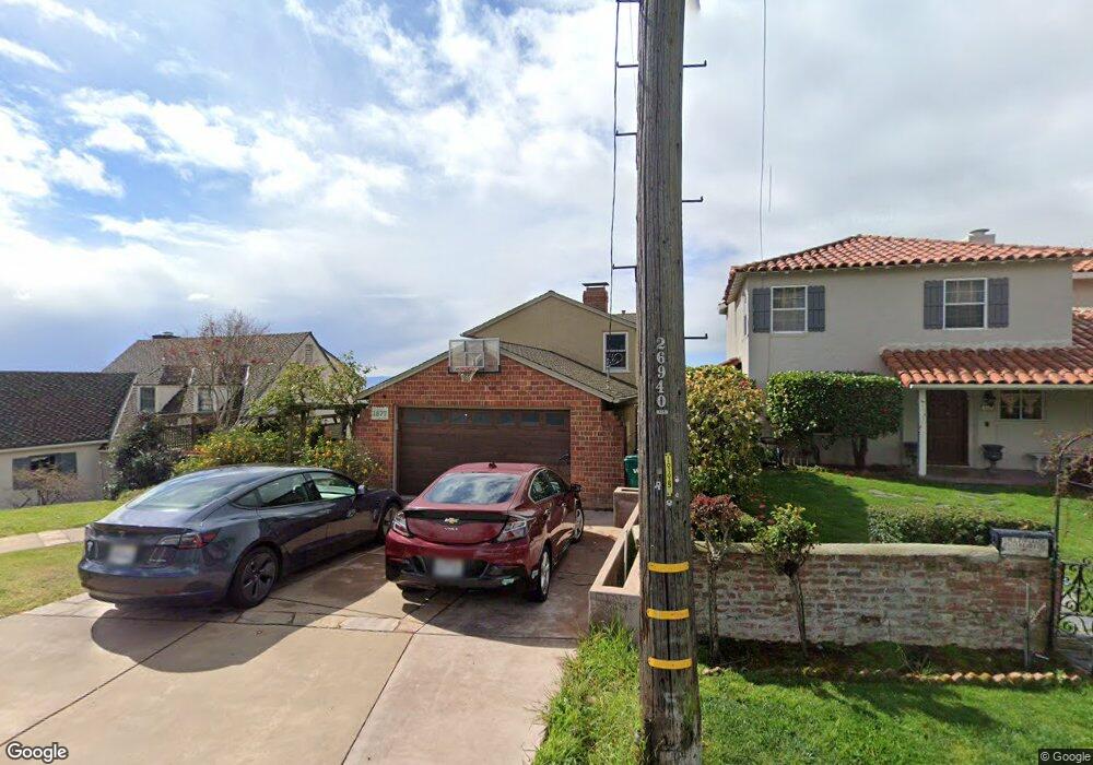
1877 Melvin Rd Oakland, CA 94602
Oakmore NeighborhoodEstimated Value: $1,214,000 - $1,872,000
3
Beds
3
Baths
2,767
Sq Ft
$556/Sq Ft
Est. Value
About This Home
This home is located at 1877 Melvin Rd, Oakland, CA 94602 and is currently estimated at $1,537,377, approximately $555 per square foot. 1877 Melvin Rd is a home located in Alameda County with nearby schools including Joaquin Miller Elementary School, Montera Middle School, and Skyline High School.
Ownership History
Date
Name
Owned For
Owner Type
Purchase Details
Closed on
Jan 15, 2004
Sold by
Bresee Gary A and Newman Erin B
Bought by
Bresee Gary A and Newman Erin B
Current Estimated Value
Purchase Details
Closed on
Oct 26, 1998
Sold by
Schonwald Joseph and Schonwald Rolinda R
Bought by
Bresee Gary E and Newman Erin B
Home Financials for this Owner
Home Financials are based on the most recent Mortgage that was taken out on this home.
Original Mortgage
$383,200
Interest Rate
6.12%
Mortgage Type
Balloon
Create a Home Valuation Report for This Property
The Home Valuation Report is an in-depth analysis detailing your home's value as well as a comparison with similar homes in the area
Home Values in the Area
Average Home Value in this Area
Purchase History
| Date | Buyer | Sale Price | Title Company |
|---|---|---|---|
| Bresee Gary A | -- | -- | |
| Bresee Gary E | $479,000 | First American Title Guarant |
Source: Public Records
Mortgage History
| Date | Status | Borrower | Loan Amount |
|---|---|---|---|
| Previous Owner | Bresee Gary E | $383,200 | |
| Closed | Bresee Gary E | $47,900 |
Source: Public Records
Tax History Compared to Growth
Tax History
| Year | Tax Paid | Tax Assessment Tax Assessment Total Assessment is a certain percentage of the fair market value that is determined by local assessors to be the total taxable value of land and additions on the property. | Land | Improvement |
|---|---|---|---|---|
| 2025 | $11,130 | $743,888 | $225,266 | $525,622 |
| 2024 | $11,130 | $729,170 | $220,851 | $515,319 |
| 2023 | $11,690 | $721,737 | $216,521 | $505,216 |
| 2022 | $11,394 | $700,587 | $212,276 | $495,311 |
| 2021 | $10,929 | $686,715 | $208,114 | $485,601 |
| 2020 | $10,808 | $686,603 | $205,981 | $480,622 |
| 2019 | $10,423 | $673,143 | $201,943 | $471,200 |
| 2018 | $10,202 | $659,946 | $197,984 | $461,962 |
| 2017 | $9,820 | $647,008 | $194,102 | $452,906 |
| 2016 | $9,516 | $634,324 | $190,297 | $444,027 |
| 2015 | $9,465 | $624,797 | $187,439 | $437,358 |
| 2014 | $9,560 | $612,558 | $183,767 | $428,791 |
Source: Public Records
Map
Nearby Homes
- 1842 Brentwood Rd
- 1942 Leimert Blvd
- 2093 Braemar Rd
- 4445 Arcadia Ave
- 1975 Wrenn St
- 1989 Oakview Dr
- 389 Somerset Rd
- 4271 Whittle Ave
- 4081 Waterhouse Rd
- 6801 Estates Dr
- 4751 Lincoln Ave
- 0 Scout Rd Unit 41056305
- 1124 Hollywood Ave Unit 3
- 5741 Scarborough Dr
- 5690 Chelton Dr
- 37 Coolidge Terrace
- 2 Cavendish Ln
- 1865 Melvin Rd
- 1893 Melvin Rd
- 1857 Melvin Rd
- 2008 Bywood Dr
- 2020 Bywood Dr
- 1901 Melvin Rd
- 1874 Melvin Rd
- 1882 Melvin Rd
- 1866 Melvin Rd
- 1800 Rosecrest Dr
- 1851 Melvin Rd
- 1858 Melvin Rd
- 1909 Melvin Rd
- 2100 Bywood Dr
- 1850 Melvin Rd
- 1837 Melvin Rd
- 1842 Melvin Rd
- 1849 Carter St
- 1857 Carter St
- 1841 Carter St