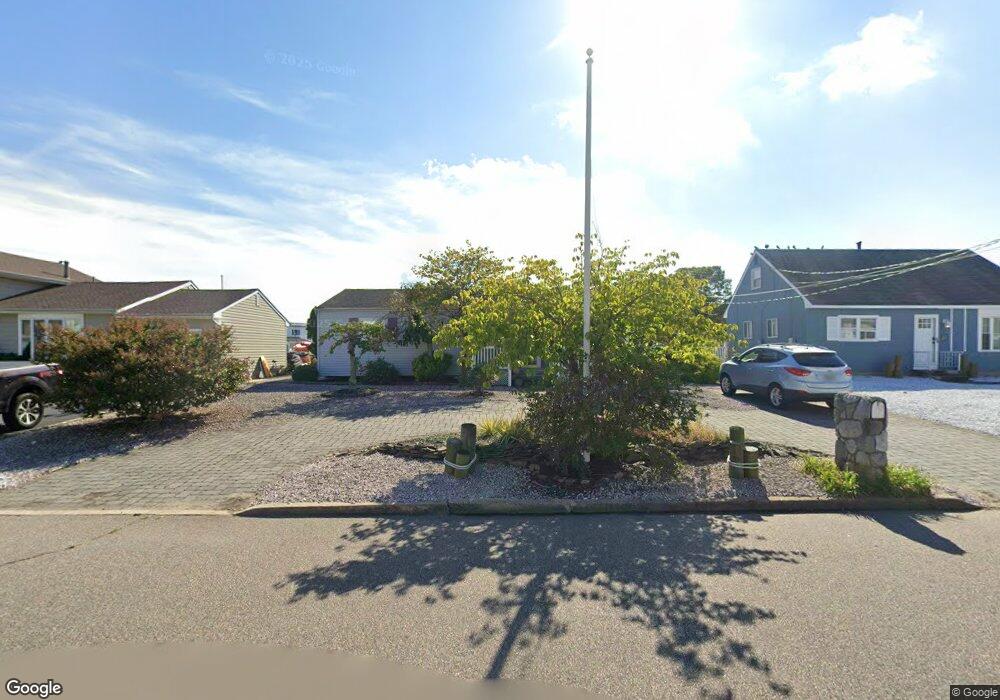
1877 Skiff Ct Toms River, NJ 08753
Estimated Value: $684,000 - $782,000
2
Beds
2
Baths
1,527
Sq Ft
$478/Sq Ft
Est. Value
About This Home
This home is located at 1877 Skiff Ct, Toms River, NJ 08753 and is currently estimated at $730,190, approximately $478 per square foot. 1877 Skiff Ct is a home located in Ocean County.
Ownership History
Date
Name
Owned For
Owner Type
Purchase Details
Closed on
Oct 22, 2001
Sold by
Hendrickson Donald
Bought by
Pikul Karen
Current Estimated Value
Purchase Details
Closed on
Apr 23, 1999
Sold by
Dattoli Rose M
Bought by
Hendrickson Donald E and Hendrickson Kathy I
Home Financials for this Owner
Home Financials are based on the most recent Mortgage that was taken out on this home.
Original Mortgage
$108,750
Interest Rate
6.56%
Create a Home Valuation Report for This Property
The Home Valuation Report is an in-depth analysis detailing your home's value as well as a comparison with similar homes in the area
Home Values in the Area
Average Home Value in this Area
Purchase History
| Date | Buyer | Sale Price | Title Company |
|---|---|---|---|
| Pikul Karen | $250,000 | -- | |
| Hendrickson Donald E | $145,000 | -- |
Source: Public Records
Mortgage History
| Date | Status | Borrower | Loan Amount |
|---|---|---|---|
| Previous Owner | Hendrickson Donald E | $108,750 | |
| Closed | Pikul Karen | $0 |
Source: Public Records
Tax History Compared to Growth
Tax History
| Year | Tax Paid | Tax Assessment Tax Assessment Total Assessment is a certain percentage of the fair market value that is determined by local assessors to be the total taxable value of land and additions on the property. | Land | Improvement |
|---|---|---|---|---|
| 2025 | $8,865 | $486,800 | $275,000 | $211,800 |
| 2024 | $8,177 | $486,800 | $275,000 | $211,800 |
| 2023 | $7,875 | $486,800 | $275,000 | $211,800 |
| 2022 | $8,125 | $486,800 | $275,000 | $211,800 |
| 2021 | $7,288 | $319,000 | $197,500 | $121,500 |
| 2020 | $7,956 | $319,000 | $197,500 | $121,500 |
| 2019 | $7,611 | $319,000 | $197,500 | $121,500 |
| 2018 | $7,509 | $319,000 | $197,500 | $121,500 |
| 2017 | $7,445 | $319,000 | $197,500 | $121,500 |
| 2016 | $7,001 | $319,000 | $197,500 | $121,500 |
| 2015 | $6,727 | $319,000 | $197,500 | $121,500 |
| 2014 | $6,392 | $319,000 | $197,500 | $121,500 |
Source: Public Records
Map
Nearby Homes
- 1939 Ship Ct
- 1145 Kenton Dr
- 1850 Ensign Ct
- 1836 Ensign Ct
- 141 Yellowbank Rd
- 890 Fairview Dr
- 1083 Crystal Dr
- 5 Dublin Ct
- 8 Pumpshire Rd
- 1035 Tralee Dr
- 1916 Waters Edge Dr Unit 16
- 2517 Waters Edge Dr Unit 17
- 1813 Waters Edge Dr
- 1019 Waters Edge Dr
- 1099 Fairview Dr
- 921 Tudor Dr
- 954 Vaughn Ave
- 1214 Waters Edge Dr Unit 14
- 169 S Shore Dr
- 230 Christoffer Terrace
- 1873 Skiff Ct
- 1881 Skiff Ct
- 1869 Skiff Ct
- 1812 Lookout Dr
- 1878 Skiff Ct
- 1882 Skiff Ct
- 1874 Skiff Ct
- 1865 Skiff Ct
- 1870 Skiff Ct
- 1878 Merrimac Dr
- 1886 Skiff Ct
- 1874 Merrimac Dr
- 1882 Merrimac Dr
- 1886 Merrimac Dr
- 1866 Skiff Ct
- 1861 Skiff Ct
- 1813 Lookout Dr
- 1819 Lookout Dr
- 1866 Merrimac Dr
- 1809 Lookout Dr