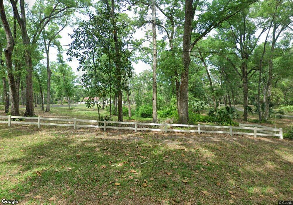
1877 Twin Oaks Dr Deland, FL 32720
North DeLand NeighborhoodEstimated Value: $451,871 - $520,000
4
Beds
2
Baths
2,106
Sq Ft
$230/Sq Ft
Est. Value
About This Home
This home is located at 1877 Twin Oaks Dr, Deland, FL 32720 and is currently estimated at $484,968, approximately $230 per square foot. 1877 Twin Oaks Dr is a home located in Volusia County with nearby schools including Citrus Grove Elementary, Deland High School, and Southwestern Middle School.
Ownership History
Date
Name
Owned For
Owner Type
Purchase Details
Closed on
Oct 3, 2003
Sold by
Brumback Nancy Catherine and Baird Nancy Catherine
Bought by
Baird Robert Hamilton
Current Estimated Value
Purchase Details
Closed on
May 24, 1999
Sold by
Molloy Cathleen F
Bought by
Baird Robert H and Brumback Nancy C
Purchase Details
Closed on
Feb 15, 1983
Bought by
Baird Robert Hamilton
Purchase Details
Closed on
May 15, 1979
Bought by
Baird Robert Hamilton
Purchase Details
Closed on
Mar 15, 1973
Bought by
Baird Robert Hamilton
Create a Home Valuation Report for This Property
The Home Valuation Report is an in-depth analysis detailing your home's value as well as a comparison with similar homes in the area
Home Values in the Area
Average Home Value in this Area
Purchase History
| Date | Buyer | Sale Price | Title Company |
|---|---|---|---|
| Baird Robert Hamilton | -- | -- | |
| Baird Robert H | $154,000 | -- | |
| Baird Robert Hamilton | $100 | -- | |
| Baird Robert Hamilton | $18,000 | -- | |
| Baird Robert Hamilton | $7,500 | -- |
Source: Public Records
Tax History Compared to Growth
Tax History
| Year | Tax Paid | Tax Assessment Tax Assessment Total Assessment is a certain percentage of the fair market value that is determined by local assessors to be the total taxable value of land and additions on the property. | Land | Improvement |
|---|---|---|---|---|
| 2025 | $6,234 | $361,142 | $126,000 | $235,142 |
| 2024 | $6,234 | $366,558 | $126,000 | $240,558 |
| 2023 | $6,234 | $362,465 | $126,000 | $236,465 |
| 2022 | $5,753 | $320,838 | $96,000 | $224,838 |
| 2021 | $5,479 | $261,082 | $66,000 | $195,082 |
| 2020 | $1,330 | $163,214 | $0 | $0 |
| 2019 | $1,351 | $159,544 | $0 | $0 |
| 2018 | $1,332 | $156,569 | $0 | $0 |
| 2017 | $893 | $153,349 | $0 | $0 |
| 2016 | $843 | $150,195 | $0 | $0 |
| 2015 | -- | $149,151 | $0 | $0 |
| 2014 | -- | $147,967 | $0 | $0 |
Source: Public Records
Map
Nearby Homes
- 2015 Hawk Haven Trail
- 2053 Bond Rd
- 3660 Grand Ave
- 1845 Lemon St
- 1806 Glenwood Oaks Ln
- 1909 S Farm Rd
- 1955 Hillcrest Oak Dr
- 0 Garden St Unit MFRO6109460
- 235 Garden St
- 226 Garden St
- 1795 Ridgewood St
- 4155 N Us Hwy 17
- 1296 Lemon St
- 0 North St
- 0 No Name Parcel 05163011380050 Unit V4910400
- 0 Pid# 44 16 29 01 00 1141 Unit MFRV4944345
- 1751 Salvadore St
- 1795 Trinidad St
- 3221 Oaklea Dr
- 0 Philadelphia Ave
- 1895 Twin Oaks Dr
- 1831 Twin Oaks Dr
- 1945 Twin Oaks Dr
- 1805 Twin Oaks Dr
- 1800 Manor Way
- 3971 Grand Ave
- 3995 Grand Ave
- 1870 Manor Way
- 1890 Twin Oaks Dr
- 1850 Manor Way
- 1854 Twin Oaks Dr
- 1880 Manor Way
- 3941 Grand Ave
- 1826 Twin Oaks Dr
- 1777 Twin Oaks Dr
- 3895 Grand Ave
- 1816 Twin Oaks Dr
- 1900 Twin Oaks Dr
- 4011 Grand Ave
- 3871 Grand Ave