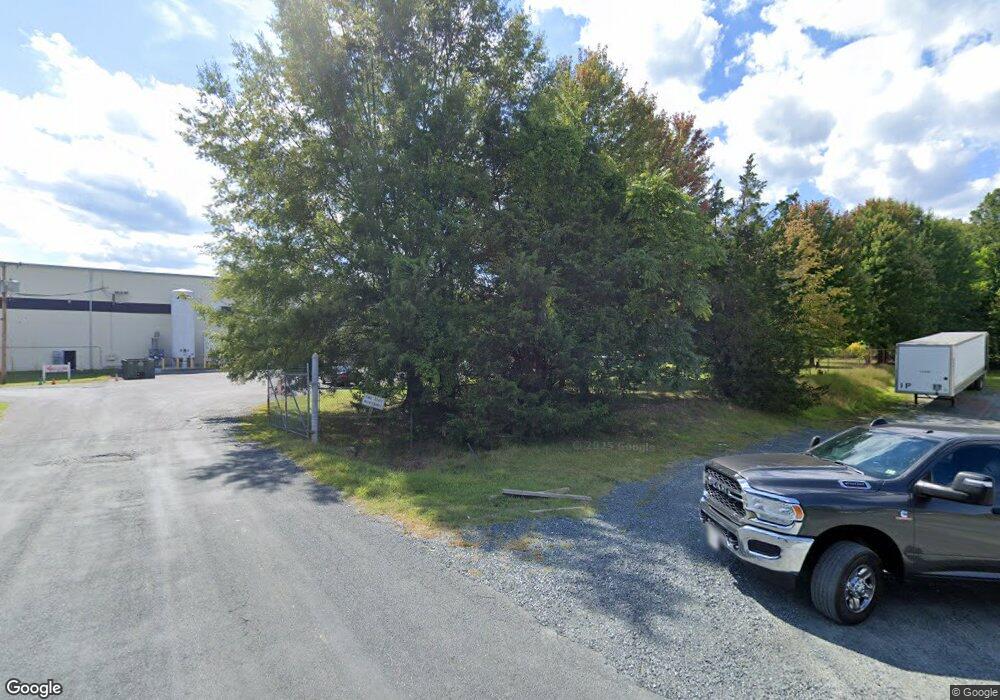
188 Enterprise Dr Madison Heights, VA 24572
Estimated Value: $4,001,437
--
Bed
--
Bath
111,468
Sq Ft
$36/Sq Ft
Est. Value
About This Home
This home is located at 188 Enterprise Dr, Madison Heights, VA 24572 and is currently estimated at $4,001,437, approximately $35 per square foot. 188 Enterprise Dr is a home located in Amherst County with nearby schools including Madison Heights Elementary School, Monelison Middle School, and Amherst County High School.
Ownership History
Date
Name
Owned For
Owner Type
Purchase Details
Closed on
Dec 23, 2015
Sold by
Oneal Steel Inc An Alabama Corporation
Bought by
Jem Va Realty Llc A Delaware Limited Lia
Current Estimated Value
Home Financials for this Owner
Home Financials are based on the most recent Mortgage that was taken out on this home.
Original Mortgage
$1,000,000
Outstanding Balance
$793,718
Interest Rate
3.98%
Mortgage Type
Commercial
Estimated Equity
$3,207,719
Create a Home Valuation Report for This Property
The Home Valuation Report is an in-depth analysis detailing your home's value as well as a comparison with similar homes in the area
Home Values in the Area
Average Home Value in this Area
Purchase History
| Date | Buyer | Sale Price | Title Company |
|---|---|---|---|
| Jem Va Realty Llc A Delaware Limited Lia | $2,250,000 | Attorney |
Source: Public Records
Mortgage History
| Date | Status | Borrower | Loan Amount |
|---|---|---|---|
| Open | Jem Va Realty Llc A Delaware Limited Lia | $1,000,000 |
Source: Public Records
Tax History Compared to Growth
Tax History
| Year | Tax Paid | Tax Assessment Tax Assessment Total Assessment is a certain percentage of the fair market value that is determined by local assessors to be the total taxable value of land and additions on the property. | Land | Improvement |
|---|---|---|---|---|
| 2025 | $16,202 | $2,656,000 | $202,800 | $2,453,200 |
| 2024 | $16,202 | $2,656,000 | $202,800 | $2,453,200 |
| 2023 | $16,202 | $2,656,000 | $202,800 | $2,453,200 |
| 2022 | $16,202 | $2,656,000 | $202,800 | $2,453,200 |
| 2021 | $16,202 | $2,656,000 | $202,800 | $2,453,200 |
| 2020 | $16,202 | $2,656,000 | $202,800 | $2,453,200 |
| 2019 | $14,056 | $2,304,200 | $202,800 | $2,101,400 |
| 2018 | $14,056 | $2,304,200 | $202,800 | $2,101,400 |
| 2017 | $14,056 | $2,304,200 | $202,800 | $2,101,400 |
| 2016 | $14,056 | $2,304,200 | $202,800 | $2,101,400 |
| 2015 | $5,968 | $2,304,200 | $202,800 | $2,101,400 |
| 2014 | $12,904 | $2,304,200 | $202,800 | $2,101,400 |
Source: Public Records
Map
Nearby Homes
- 0 Kings Rd Unit 335970
- 687 Elon Rd
- 115 Morgan Rd
- 167 Mansfield Dr
- 0 Thunderbird Ridge Rd Unit 353724
- 4512 S Amherst Hwy
- 561 Oak Grove Dr
- 103 Cedar St
- 193 Daniels Dr
- 171 Woodvue Dr
- 4123 S Amherst Hwy
- 235 Hundley Ln
- 172 Mays St
- 214 Lyttleton Ln
- 0 River Rd Unit 348422
- 132 Melville Place
- 289 Todd Ln
- 23 Denver Ave
- 48 Easton Ave
- 379 Winesap Rd
- 198 Kings Rd
- 118 Enterprise Dr
- 348 Dillard Rd
- 117 Enterprise Dr
- 259 Kings Rd
- 163 Kings Rd
- 167 Kings Rd
- 291 Dillard Rd
- 253 Dillard Rd
- 297 Kings Rd
- 237 Dillard Rd
- 219 Mitchell Bell Rd
- 271 Mitchell Bell Rd
- 0 Mitchell Bell Rd
- 194 Mitchell Bell Rd
- 226 Mitchell Bell Rd
- 215 Dillard Rd
- 311 Mitchell Bell Rd
- 999 Mitchell Bell Rd
- 282 Mitchell Bell Rd
