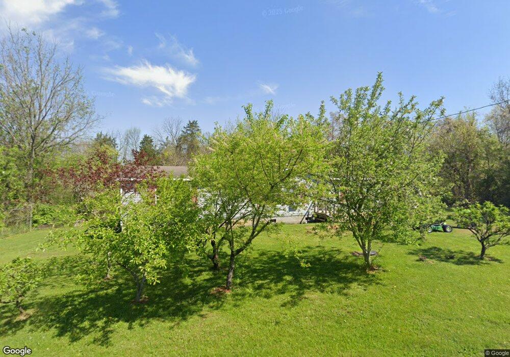
1882 Thomas R James Dr Morristown, TN 37813
Estimated Value: $186,161 - $279,000
3
Beds
2
Baths
1,456
Sq Ft
$165/Sq Ft
Est. Value
About This Home
This home is located at 1882 Thomas R James Dr, Morristown, TN 37813 and is currently estimated at $240,540, approximately $165 per square foot. 1882 Thomas R James Dr is a home located in Hamblen County with nearby schools including Lincoln Heights Elementary School, Lincoln Heights Middle School, and Morristown West High School.
Ownership History
Date
Name
Owned For
Owner Type
Purchase Details
Closed on
Aug 9, 2010
Sold by
Parrett Cora
Bought by
Hernandez Denneis and Hernandez Maria G
Current Estimated Value
Purchase Details
Closed on
Apr 5, 2005
Sold by
Lovin Homer K
Bought by
Parrett Cora
Purchase Details
Closed on
Mar 10, 2004
Bought by
Lovin Homer K and Lovin Marie
Purchase Details
Closed on
Nov 3, 2000
Sold by
Clarence Lowe C and Clarence Shirley
Bought by
Mcbee Edward E
Home Financials for this Owner
Home Financials are based on the most recent Mortgage that was taken out on this home.
Original Mortgage
$12,750
Interest Rate
7.83%
Purchase Details
Closed on
Apr 28, 1993
Bought by
Lowe Lowe C and Lowe Shirley A
Purchase Details
Closed on
Aug 5, 1969
Bought by
Calfee Calfee D and Calfee Nina
Create a Home Valuation Report for This Property
The Home Valuation Report is an in-depth analysis detailing your home's value as well as a comparison with similar homes in the area
Home Values in the Area
Average Home Value in this Area
Purchase History
| Date | Buyer | Sale Price | Title Company |
|---|---|---|---|
| Hernandez Denneis | $13,000 | -- | |
| Parrett Cora | $12,000 | -- | |
| Lovin Homer K | $12,100 | -- | |
| Mcbee Edward E | $18,000 | -- | |
| Lowe Lowe C | $4,000 | -- | |
| Calfee Calfee D | -- | -- |
Source: Public Records
Mortgage History
| Date | Status | Borrower | Loan Amount |
|---|---|---|---|
| Previous Owner | Calfee Calfee D | $12,750 |
Source: Public Records
Tax History Compared to Growth
Tax History
| Year | Tax Paid | Tax Assessment Tax Assessment Total Assessment is a certain percentage of the fair market value that is determined by local assessors to be the total taxable value of land and additions on the property. | Land | Improvement |
|---|---|---|---|---|
| 2024 | $410 | $23,300 | $3,750 | $19,550 |
| 2023 | $410 | $23,300 | $0 | $0 |
| 2022 | $736 | $23,300 | $3,750 | $19,550 |
| 2021 | $736 | $23,300 | $3,750 | $19,550 |
| 2020 | $735 | $23,300 | $3,750 | $19,550 |
| 2019 | $760 | $22,350 | $5,200 | $17,150 |
| 2018 | $704 | $22,350 | $5,200 | $17,150 |
| 2017 | $693 | $22,350 | $5,200 | $17,150 |
| 2016 | $661 | $22,350 | $5,200 | $17,150 |
| 2015 | $616 | $22,350 | $5,200 | $17,150 |
| 2014 | -- | $22,350 | $5,200 | $17,150 |
| 2013 | -- | $24,225 | $0 | $0 |
Source: Public Records
Map
Nearby Homes
- 440 S Fairmont Ave
- 1530 Rayburn Dr
- 1476 Darbee Dr
- Darwin Plan at Southwood
- Penwell Plan at Southwood
- Elston Plan at Southwood
- Robie Plan at Southwood
- Cali Plan at Southwood
- Belhaven Plan at Southwood
- 1049 Greenway Dr
- 837 Pauline Ave
- 2018 Southwood Cir
- 1211 W 6th St N
- 2310 Sandstone Dr
- 707 Walters Dr
- 2444 Sandstone Dr
- 2454 Sandstone Dr
- 2430 Sandstone Dr
- 1442 Darbee Dr
- 2045 N Economy Rd Unit A3
- 1840 Thomas R James Dr
- 1853 Thomas R James Dr
- 1887 Thomas R James Dr
- 1821 Thomas R James Dr
- 1895 Thomas R James Dr
- 0 Thomas R James Dr
- 1719 Thomas R James Dr
- 0 Neikirk Dr
- 1702 Thomas R James Dr
- 910 Neikirk Dr
- 918 Neikirk Dr
- 909 Neikirk Dr
- 1925 Thomas R James Dr
- 1684 Bishop Ln
- 922 Neikirk Dr
- 1703 Thomas R James Dr
- 1700 Thomas R James Dr
- 926 Neikirk Dr
- 954 Neikirk Dr
- 962 Neikirk Dr