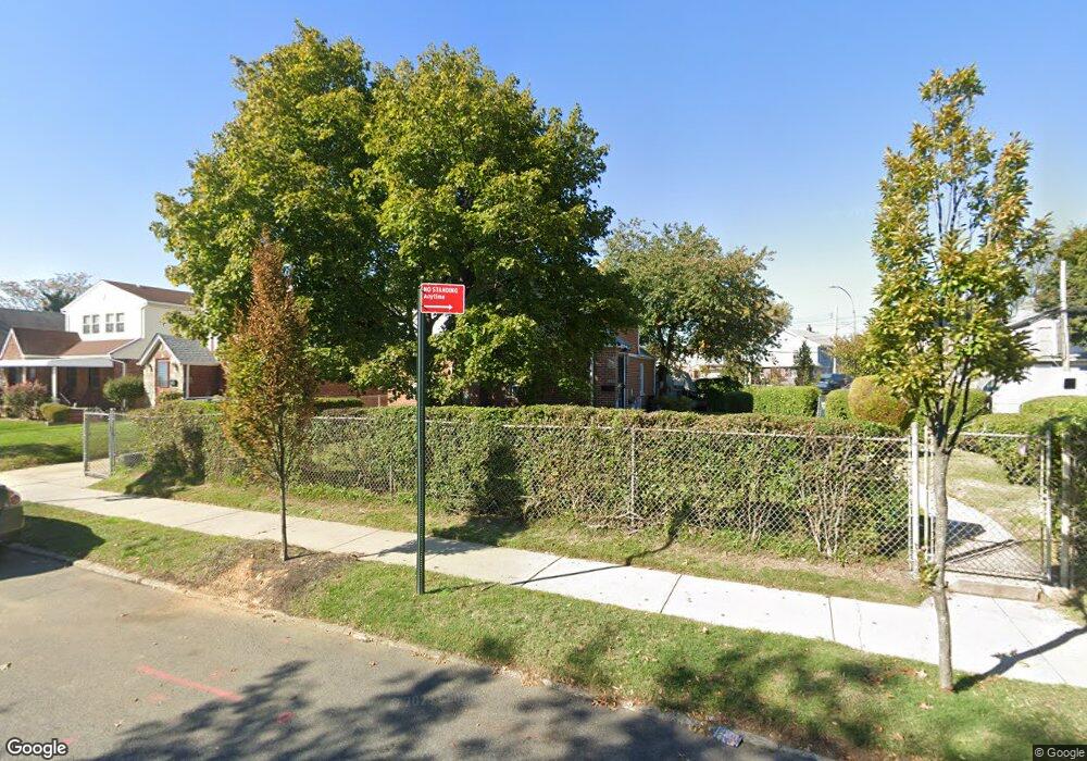
18820 Liberty Ave Saint Albans, NY 11412
Hollis NeighborhoodEstimated Value: $772,365 - $977,000
--
Bed
--
Bath
1,968
Sq Ft
$447/Sq Ft
Est. Value
About This Home
This home is located at 18820 Liberty Ave, Saint Albans, NY 11412 and is currently estimated at $879,341, approximately $446 per square foot. 18820 Liberty Ave is a home located in Queens County with nearby schools including P.S. 118 Lorraine Hansberry, I.S. 192 The Linden, and Wellspring Elementary & Middle.
Ownership History
Date
Name
Owned For
Owner Type
Purchase Details
Closed on
Mar 29, 1995
Sold by
Sheppard Wilbert and Davis Eula Lee
Bought by
Lewis Randall
Current Estimated Value
Home Financials for this Owner
Home Financials are based on the most recent Mortgage that was taken out on this home.
Original Mortgage
$94,500
Interest Rate
8.21%
Create a Home Valuation Report for This Property
The Home Valuation Report is an in-depth analysis detailing your home's value as well as a comparison with similar homes in the area
Home Values in the Area
Average Home Value in this Area
Purchase History
| Date | Buyer | Sale Price | Title Company |
|---|---|---|---|
| Lewis Randall | $135,000 | -- |
Source: Public Records
Mortgage History
| Date | Status | Borrower | Loan Amount |
|---|---|---|---|
| Previous Owner | Lewis Randall | $94,500 |
Source: Public Records
Tax History Compared to Growth
Tax History
| Year | Tax Paid | Tax Assessment Tax Assessment Total Assessment is a certain percentage of the fair market value that is determined by local assessors to be the total taxable value of land and additions on the property. | Land | Improvement |
|---|---|---|---|---|
| 2025 | $7,077 | $37,345 | $12,782 | $24,563 |
| 2024 | $7,077 | $35,233 | $12,106 | $23,127 |
| 2023 | $7,077 | $35,233 | $11,529 | $23,704 |
| 2022 | $5,074 | $45,120 | $16,080 | $29,040 |
| 2021 | $6,728 | $43,800 | $16,080 | $27,720 |
| 2020 | $6,587 | $40,920 | $16,080 | $24,840 |
| 2019 | $6,142 | $41,100 | $16,080 | $25,020 |
| 2018 | $5,985 | $29,361 | $13,685 | $15,676 |
| 2017 | $5,756 | $28,238 | $14,470 | $13,768 |
| 2016 | $5,326 | $28,238 | $14,470 | $13,768 |
| 2015 | $3,213 | $25,934 | $17,328 | $8,606 |
| 2014 | $3,213 | $24,468 | $16,839 | $7,629 |
Source: Public Records
Map
Nearby Homes
- 187-23 Brinkerhoff Ave
- 10533 Farmers Blvd
- 19027 109th Rd
- 104-11 188th St
- 183-67 Dunlop Ave
- 188-31 Jordan Ave
- 10532 192nd St
- 111-06 Farmers Blvd
- 186-16 Hilburn Ave
- 183-29 Brinkerhoff Ave
- 187-44 Jordan Ave
- 193-21 109th Rd
- 102-35 187th St
- 183-12 Elmira Ave
- 183-34 Fonda Ave
- 188-25 Mangin Ave
- 183-09 Dunlop Ave
- 18823 Mangin Ave
- 190-30 103rd Ave
- 19022 111th Rd
- 18809 Brinkerhoff Ave
- 18805 Brinkerhoff Ave
- 18801 Brinkerhoff Ave
- 18812 Liberty Ave
- 18815 Liberty Ave
- 18815 Liberty Ave
- 18902 Liberty Ave
- 18809 Liberty Ave
- 18801 Liberty Ave
- 18806 Brinkerhoff Ave
- 109-21 Firwood Place
- 18817 Liberty Ave
- 18815 Liberty Ave
- 18723 Brinkerhoff Ave
- 18819 Liberty Ave
- 188-05 Liberty Ave
- 18904 Liberty Ave
- 18805 Liberty Ave
- 18823 Liberty Ave
- 18823 Liberty Ave