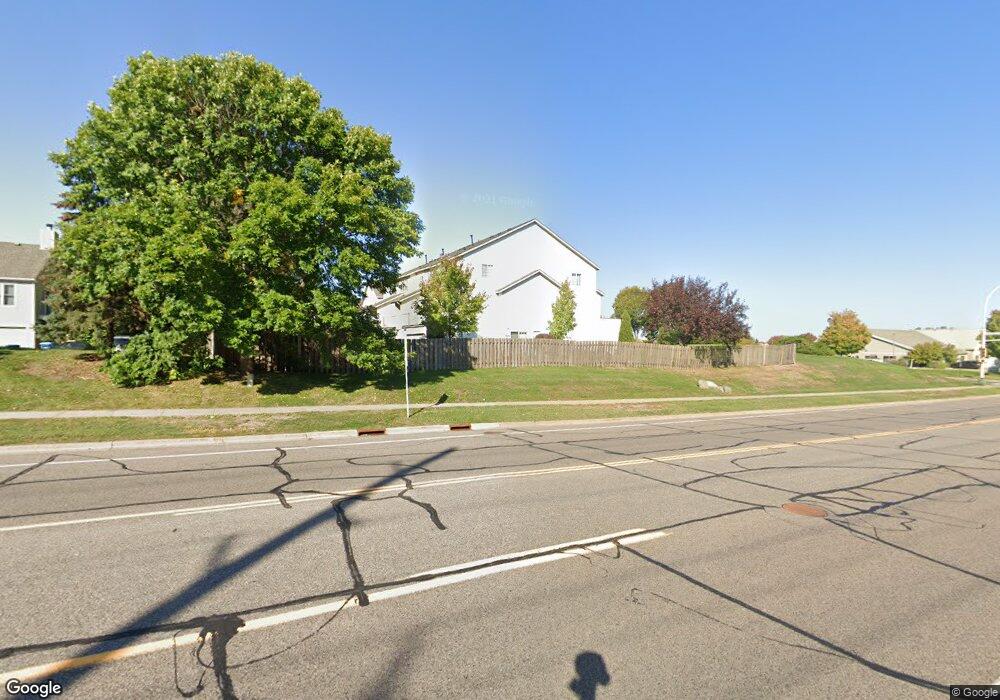
1883 E 122nd St Burnsville, MN 55337
Estimated Value: $253,000 - $268,000
3
Beds
2
Baths
1,102
Sq Ft
$237/Sq Ft
Est. Value
About This Home
This home is located at 1883 E 122nd St, Burnsville, MN 55337 and is currently estimated at $261,010, approximately $236 per square foot. 1883 E 122nd St is a home located in Dakota County with nearby schools including William Byrne Elementary School, Burnsville High School, and Gateway STEM Academy.
Ownership History
Date
Name
Owned For
Owner Type
Purchase Details
Closed on
Jun 8, 2020
Sold by
Buck Thsha Mae
Bought by
Easton Ashley and Kelly Aaron
Current Estimated Value
Home Financials for this Owner
Home Financials are based on the most recent Mortgage that was taken out on this home.
Original Mortgage
$200,305
Outstanding Balance
$177,555
Interest Rate
3.2%
Mortgage Type
FHA
Estimated Equity
$83,455
Purchase Details
Closed on
Apr 29, 2004
Sold by
Nelson Dustyn Jon and Nelson Chantel M
Bought by
Rich Trisha M and Pouck Frank T
Purchase Details
Closed on
Jul 31, 1997
Sold by
Dean R Johnson Construction Inc
Bought by
Pechuman Justyn J and Nelson Chantel M
Create a Home Valuation Report for This Property
The Home Valuation Report is an in-depth analysis detailing your home's value as well as a comparison with similar homes in the area
Home Values in the Area
Average Home Value in this Area
Purchase History
| Date | Buyer | Sale Price | Title Company |
|---|---|---|---|
| Easton Ashley | $204,000 | Trademark Title Services Inc | |
| Rich Trisha M | $173,900 | -- | |
| Pechuman Justyn J | $97,337 | -- |
Source: Public Records
Mortgage History
| Date | Status | Borrower | Loan Amount |
|---|---|---|---|
| Open | Easton Ashley | $200,305 |
Source: Public Records
Tax History Compared to Growth
Tax History
| Year | Tax Paid | Tax Assessment Tax Assessment Total Assessment is a certain percentage of the fair market value that is determined by local assessors to be the total taxable value of land and additions on the property. | Land | Improvement |
|---|---|---|---|---|
| 2024 | $2,368 | $245,500 | $46,600 | $198,900 |
| 2023 | $2,368 | $237,400 | $46,700 | $190,700 |
| 2022 | $1,924 | $231,100 | $46,600 | $184,500 |
| 2021 | $1,852 | $194,800 | $40,500 | $154,300 |
| 2020 | $1,710 | $180,000 | $38,500 | $141,500 |
| 2019 | $1,617 | $163,000 | $36,700 | $126,300 |
| 2018 | $1,466 | $149,200 | $34,000 | $115,200 |
| 2017 | $1,327 | $134,200 | $31,400 | $102,800 |
| 2016 | $1,417 | $123,000 | $29,900 | $93,100 |
| 2015 | $1,355 | $99,228 | $23,063 | $76,165 |
| 2014 | -- | $98,683 | $21,604 | $77,079 |
| 2013 | -- | $83,641 | $18,327 | $65,314 |
Source: Public Records
Map
Nearby Homes
- 2007 E 122nd St Unit B15
- 2011 E 122nd St Unit D24
- 2005 E 122nd St Unit A7
- 2005 E 122nd St Unit A14
- 2005 E 122nd St Unit A23
- 12232 Oak Leaf Cir
- 12316 Michelle Cir
- 1609 Riverwood Dr
- 12284 River Valley Dr
- 12420 Chippewa Ln
- 2300 Villaburne Ct W
- 12251 River Valley Dr
- 1853 Riverwood Dr Unit 4
- 1800 Riverwood Dr Unit 110
- 1800 Riverwood Dr Unit 323
- 2400 E 125th St
- 122 Birnamwood Dr
- 1115 E Travelers Trail
- 2200 Horizon Rd
- 37 Birnamwood Dr
- 1881 E 122nd St
- 1877 E 122nd St
- 1875 E 122nd St
- 1879 1879 122nd-Street-e
- 1879 E 122nd St
- 1879 122nd St E
- 1873 E 122nd St
- 1863 E 122nd St
- 1865 E 122nd St
- 1867 E 122nd St
- 1869 E 122nd St
- 1871 E 122nd St
- 1855 E 122nd St
- 1857 E 122nd St
- 1857 122nd St E
- 1859 E 122nd St
- 1861 E 122nd St
- 1911 E 122nd St
- 12201 County Road 11
- 1909 E 122nd St