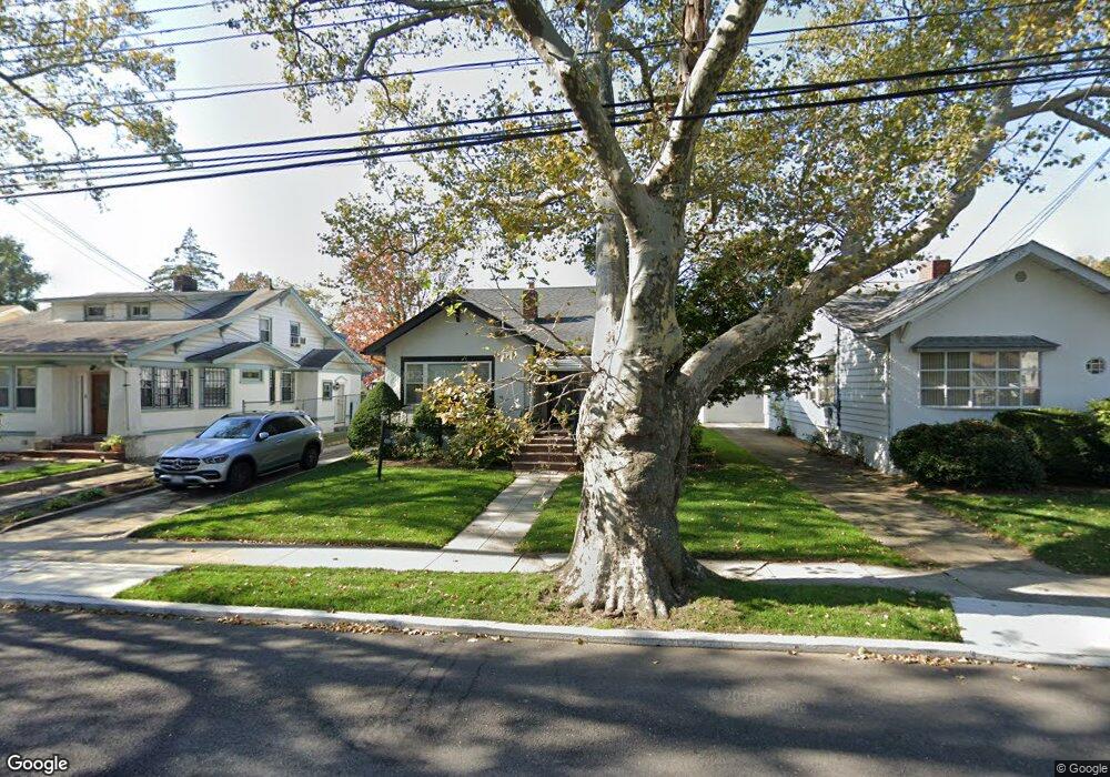
18835 Ilion Ave Saint Albans, NY 11412
Hollis NeighborhoodEstimated Value: $550,000 - $807,418
--
Bed
--
Bath
1,283
Sq Ft
$527/Sq Ft
Est. Value
About This Home
This home is located at 18835 Ilion Ave, Saint Albans, NY 11412 and is currently estimated at $675,855, approximately $526 per square foot. 18835 Ilion Ave is a home located in Queens County with nearby schools including P.S. 118 Lorraine Hansberry, I.S. 192 The Linden, and Wellspring Elementary & Middle.
Ownership History
Date
Name
Owned For
Owner Type
Purchase Details
Closed on
Apr 23, 2012
Sold by
Ware Doris L
Bought by
Lawrence Donna A
Current Estimated Value
Home Financials for this Owner
Home Financials are based on the most recent Mortgage that was taken out on this home.
Original Mortgage
$240,000
Outstanding Balance
$166,551
Interest Rate
4.01%
Mortgage Type
New Conventional
Estimated Equity
$509,304
Create a Home Valuation Report for This Property
The Home Valuation Report is an in-depth analysis detailing your home's value as well as a comparison with similar homes in the area
Home Values in the Area
Average Home Value in this Area
Purchase History
| Date | Buyer | Sale Price | Title Company |
|---|---|---|---|
| Lawrence Donna A | $300,000 | -- |
Source: Public Records
Mortgage History
| Date | Status | Borrower | Loan Amount |
|---|---|---|---|
| Open | Lawrence Donna A | $240,000 |
Source: Public Records
Tax History Compared to Growth
Tax History
| Year | Tax Paid | Tax Assessment Tax Assessment Total Assessment is a certain percentage of the fair market value that is determined by local assessors to be the total taxable value of land and additions on the property. | Land | Improvement |
|---|---|---|---|---|
| 2025 | $4,433 | $23,394 | $2,094 | $21,300 |
| 2024 | $4,433 | $22,070 | $1,935 | $20,135 |
| 2023 | $4,182 | $20,822 | $2,037 | $18,785 |
| 2022 | $4,157 | $30,120 | $3,540 | $26,580 |
| 2021 | $4,349 | $31,680 | $3,540 | $28,140 |
| 2020 | $3,831 | $30,240 | $3,540 | $26,700 |
| 2019 | $3,555 | $25,920 | $3,540 | $22,380 |
| 2018 | $2,878 | $17,352 | $2,120 | $15,232 |
| 2017 | $2,891 | $17,352 | $2,337 | $15,015 |
| 2016 | $3,442 | $17,352 | $2,337 | $15,015 |
| 2015 | $696 | $16,246 | $2,294 | $13,952 |
| 2014 | $696 | $15,327 | $2,599 | $12,728 |
Source: Public Records
Map
Nearby Homes
- 188-31 Jordan Ave
- 111-06 Farmers Blvd
- 187-44 Jordan Ave
- 188-25 Mangin Ave
- 18823 Mangin Ave
- 186-16 Hilburn Ave
- 187-23 Brinkerhoff Ave
- 19022 111th Rd
- 18833 Keeseville Ave
- 188-07 Mangin Ave
- 10533 Farmers Blvd
- 19027 109th Rd
- 10532 192nd St
- 190-59 112th Ave
- 183-34 Fonda Ave
- 190-63 112th Ave
- 19404 110th Rd
- 193-21 109th Rd
- 183-29 Brinkerhoff Ave
- 191-40 112th Rd
- 18837 Ilion Ave
- 18821 Ilion Ave
- 18730 Hilburn Ave
- 188-39 Ilion Ave
- 18724 Hilburn Ave
- 18817 Ilion Ave
- 18839 Ilion Ave
- 188-17 Ilion Ave
- 18734 Hilburn Ave
- 18718 Hilburn Ave
- 18811 Ilion Ave
- 18740 Hilburn Ave
- 18824 Ilion Ave
- 188-34 Ilion Ave
- 188-18 Ilion Ave
- 18818 Ilion Ave
- 18818 Ilion Ave
- 18818 Ilion Ave
- 18834 Ilion Ave
- 18712 Hilburn Ave