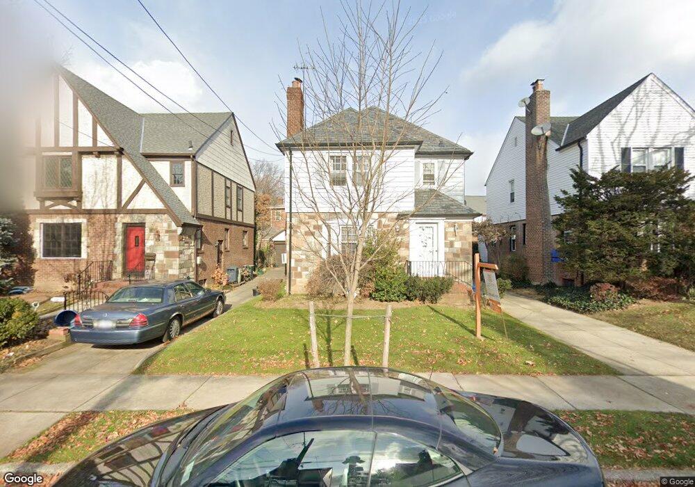
189-35 45 Rd Flushing, NY 11358
Auburndale NeighborhoodEstimated Value: $1,374,301 - $2,060,000
8
Beds
7
Baths
2,301
Sq Ft
$722/Sq Ft
Est. Value
About This Home
This home is located at 189-35 45 Rd, Flushing, NY 11358 and is currently estimated at $1,661,825, approximately $722 per square foot. 189-35 45 Rd is a home located in Queens County with nearby schools including I.S. 25 Adrien Block, Francis Lewis High School, and St Kevin School.
Ownership History
Date
Name
Owned For
Owner Type
Purchase Details
Closed on
Aug 21, 2020
Sold by
Great888realty Llc
Bought by
Xu Jiahuan
Current Estimated Value
Purchase Details
Closed on
Jan 29, 2018
Sold by
Conovitz Myron and Myron Conovitz As Trustee
Bought by
Great888realty Llc
Purchase Details
Closed on
Jan 1, 2016
Sold by
Conovitz Executor Myron
Bought by
Trust Under Art Ii Of Will Of Ceil Conov and Conovitz, Trustee, Myron
Create a Home Valuation Report for This Property
The Home Valuation Report is an in-depth analysis detailing your home's value as well as a comparison with similar homes in the area
Home Values in the Area
Average Home Value in this Area
Purchase History
| Date | Buyer | Sale Price | Title Company |
|---|---|---|---|
| Xu Jiahuan | $1,781,937 | -- | |
| Great888realty Llc | $925,000 | -- | |
| Trust Under Art Ii Of Will Of Ceil Conov | -- | -- |
Source: Public Records
Tax History Compared to Growth
Tax History
| Year | Tax Paid | Tax Assessment Tax Assessment Total Assessment is a certain percentage of the fair market value that is determined by local assessors to be the total taxable value of land and additions on the property. | Land | Improvement |
|---|---|---|---|---|
| 2025 | $11,621 | $60,719 | $27,615 | $33,104 |
| 2024 | $11,621 | $57,858 | $26,385 | $31,473 |
| 2023 | $11,203 | $55,163 | $21,381 | $33,782 |
| 2022 | $10,422 | $86,580 | $40,140 | $46,440 |
| 2021 | $11,537 | $81,840 | $40,140 | $41,700 |
| 2020 | $8,916 | $61,260 | $17,400 | $43,860 |
| 2019 | $8,312 | $59,940 | $17,400 | $42,540 |
| 2018 | $7,642 | $37,490 | $12,716 | $24,774 |
| 2017 | $7,642 | $37,490 | $13,324 | $24,166 |
| 2016 | $7,437 | $37,490 | $13,324 | $24,166 |
| 2015 | $4,046 | $35,100 | $18,806 | $16,294 |
| 2014 | $4,046 | $33,114 | $18,042 | $15,072 |
Source: Public Records
Map
Nearby Homes
- 45-39 192nd St
- 4539 192nd St
- 4419 192nd St
- 45-47 193rd St
- 4604 195th St
- 4620 190th St
- 46-03 195th St
- 4321 172nd St
- 188-02 Northern Blvd
- 43-28 196th St
- 4320 196th St
- 42-25 189th St
- 43-60 Auburndale Ln
- 4360 Auburndale Ln
- 47-09 188th St
- 171-06 Bagley Ave
- 196-64 45th Ave
- 42-32 196th St
- 190-17 42nd Ave
- 47-51 190th St
- 18935 45th Rd
- 18939 45th Rd
- 18931 45th Rd
- 18943 45th Rd
- 18936 45th Ave
- 18923 45th Rd
- 18932 45th Ave
- 18940 45th Ave
- 18942 45th Ave
- 189-40 45th Ave
- 189-40 45th Ave
- 189-40 45th Ave
- 18947 45th Rd
- 18928 45th Ave
- 18944 45th Ave
- 189-35 45th Rd
- 189-32 45th Ave
- 18932 45th Ave Unit 1
- 189-32 45th Ave Unit 1
- 189-32 45th Ave Unit 2nd Fl