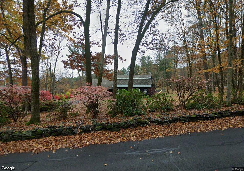
189 S Shelburne Rd Greenfield, MA 01301
Estimated Value: $403,000 - $586,000
3
Beds
2
Baths
2,556
Sq Ft
$189/Sq Ft
Est. Value
About This Home
This home is located at 189 S Shelburne Rd, Greenfield, MA 01301 and is currently estimated at $482,127, approximately $188 per square foot. 189 S Shelburne Rd is a home located in Franklin County with nearby schools including Four Rivers Charter Public School and Holy Trinity School.
Ownership History
Date
Name
Owned For
Owner Type
Purchase Details
Closed on
Apr 30, 2003
Sold by
Davenport Clayton D and Davenport Helen S
Bought by
Davenport Clayton D
Current Estimated Value
Home Financials for this Owner
Home Financials are based on the most recent Mortgage that was taken out on this home.
Original Mortgage
$152,000
Interest Rate
5.82%
Mortgage Type
Purchase Money Mortgage
Create a Home Valuation Report for This Property
The Home Valuation Report is an in-depth analysis detailing your home's value as well as a comparison with similar homes in the area
Home Values in the Area
Average Home Value in this Area
Purchase History
| Date | Buyer | Sale Price | Title Company |
|---|---|---|---|
| Davenport Clayton D | $190,000 | -- | |
| Davenport Clayton D | $190,000 | -- |
Source: Public Records
Mortgage History
| Date | Status | Borrower | Loan Amount |
|---|---|---|---|
| Open | Davenport Clayton D | $120,000 | |
| Closed | Davenport Clayton D | $152,000 | |
| Previous Owner | Davenport Clayton D | $40,000 |
Source: Public Records
Tax History Compared to Growth
Tax History
| Year | Tax Paid | Tax Assessment Tax Assessment Total Assessment is a certain percentage of the fair market value that is determined by local assessors to be the total taxable value of land and additions on the property. | Land | Improvement |
|---|---|---|---|---|
| 2025 | $7,969 | $407,400 | $109,900 | $297,500 |
| 2024 | $9,235 | $452,900 | $99,700 | $353,200 |
| 2023 | $8,302 | $422,500 | $99,700 | $322,800 |
| 2022 | $8,044 | $360,400 | $95,300 | $265,100 |
| 2021 | $7,514 | $323,600 | $92,900 | $230,700 |
| 2020 | $7,253 | $316,300 | $92,900 | $223,400 |
| 2019 | $6,853 | $306,500 | $82,100 | $224,400 |
| 2018 | $6,787 | $302,600 | $80,500 | $222,100 |
| 2017 | $6,575 | $302,600 | $80,500 | $222,100 |
| 2016 | $6,877 | $315,300 | $79,300 | $236,000 |
| 2015 | $6,616 | $293,900 | $77,300 | $216,600 |
| 2014 | $6,030 | $293,700 | $77,300 | $216,400 |
Source: Public Records
Map
Nearby Homes
- 163 S Shelburne Rd
- 23 Robbins Rd
- 107 Fairview St E
- 130 Laurel St
- 83 Newton St
- 58A Laurel St
- 6 Keegan Ln Unit E
- 414 Mohawk Trail
- 46 Colrain St
- 11 Colrain St
- 75 Phillips St
- 22 Princeton Terrace Unit 22
- 36 West St
- 116-120 Elm St
- 26-28 Devens St
- 11 Conway St
- 86-88 Conway St
- 59-61 Conway St
- 74 Petty Plain Rd
- 111-113 Deerfield St
- 199 S Shelburne Rd
- 157 S Shelburne Rd
- 177 S Shelburne Rd
- 10 Davenport Way
- 14 Davenport Way
- 6 Davenport Way
- 9 Davenport Way
- 167 S Shelburne Rd
- 17 Davenport Way
- 26 Davenport Way
- 36 Champney Rd
- 28 Champney Rd
- 31 Champney Rd
- 27 Champney Rd
- 29 Davenport Way
- 228 S Shelburne Rd
- 28 Davenport Way
- 231 S Shelburne Rd
- 155 S Shelburne Rd
- 26 Champney Rd